Uphill
542m
Length
8km
Duration
4h
Elev gain
542m
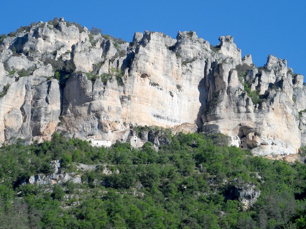
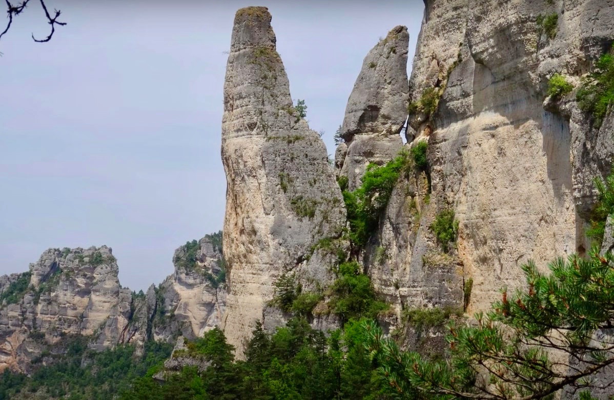
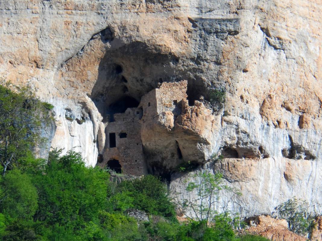
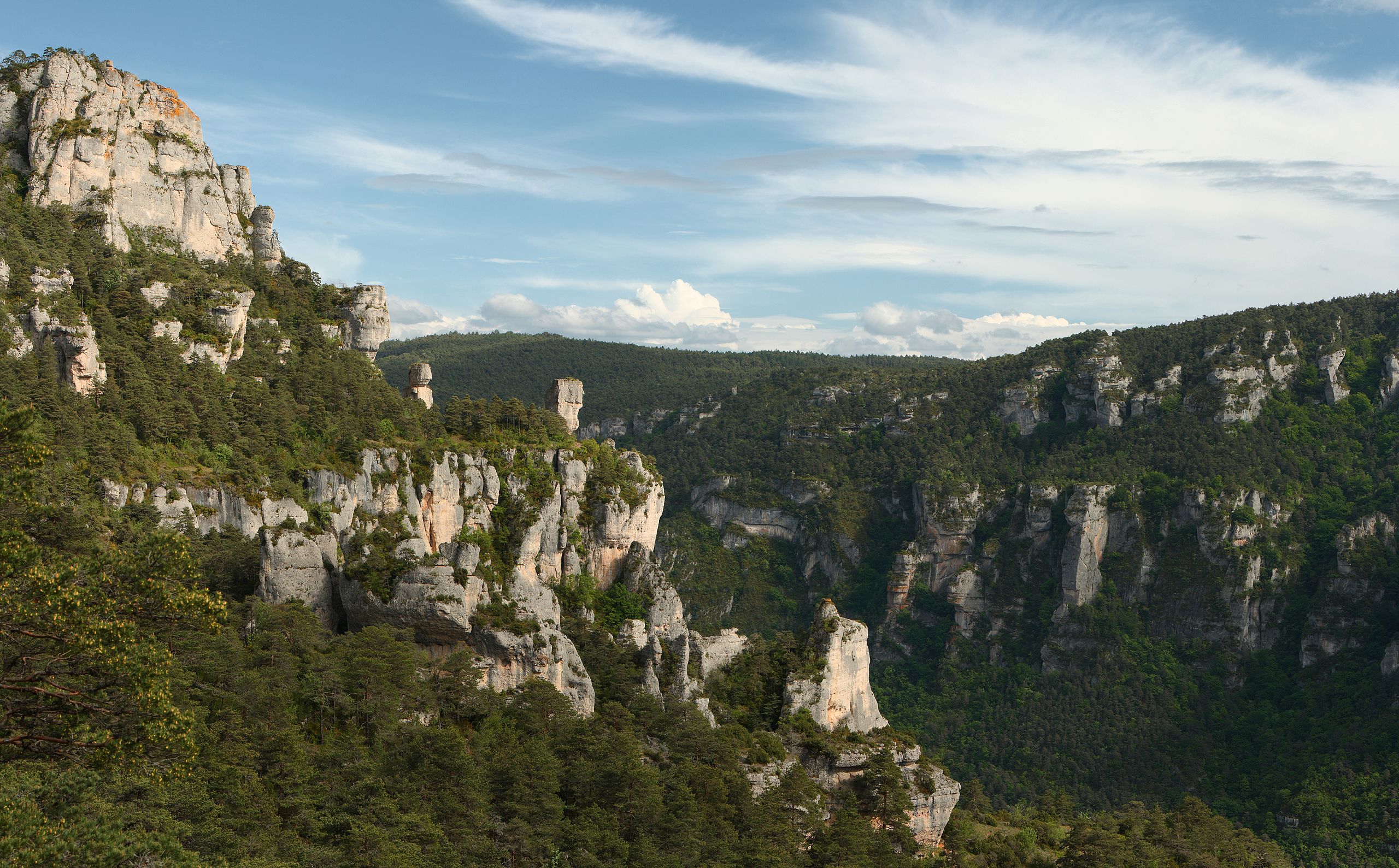
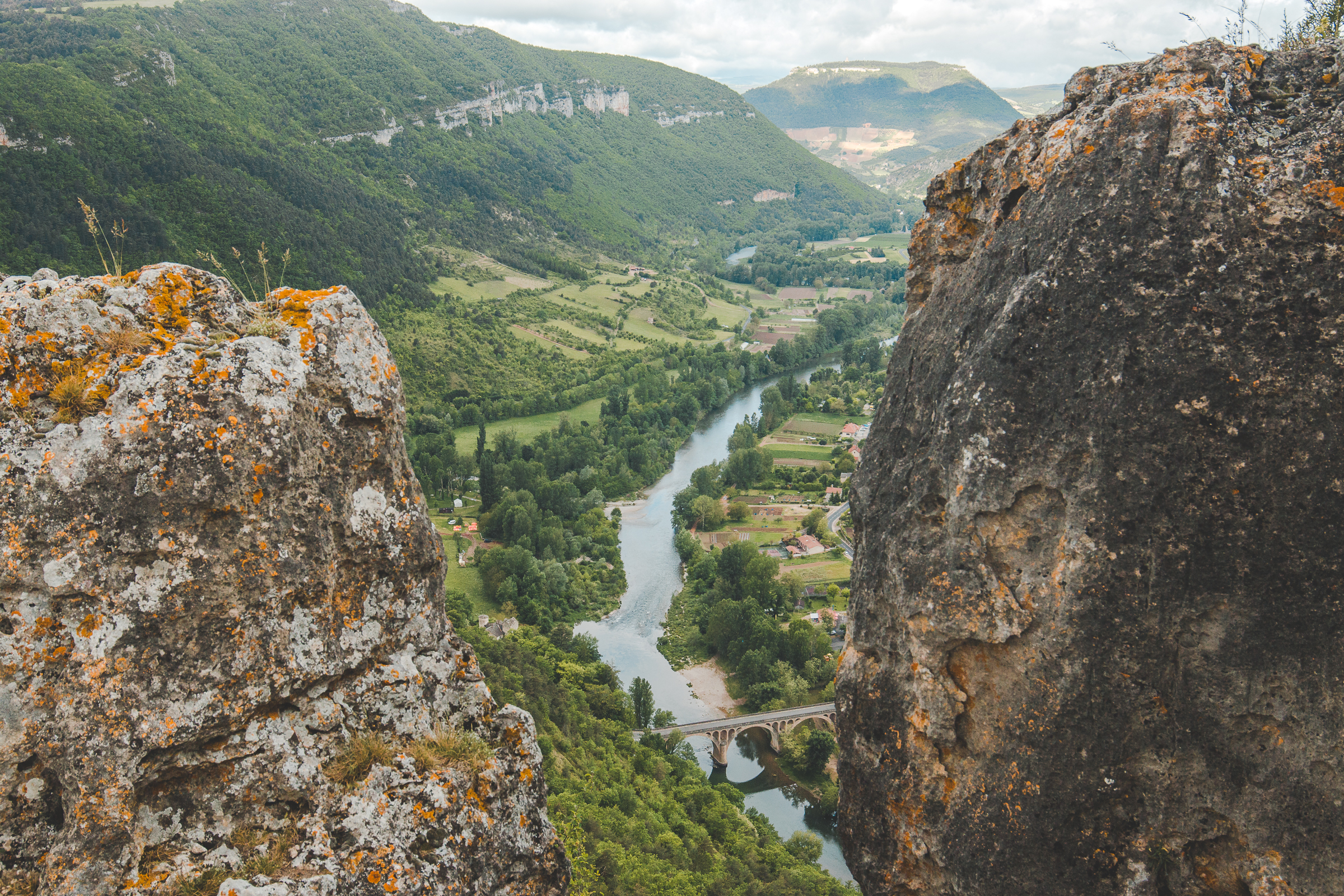
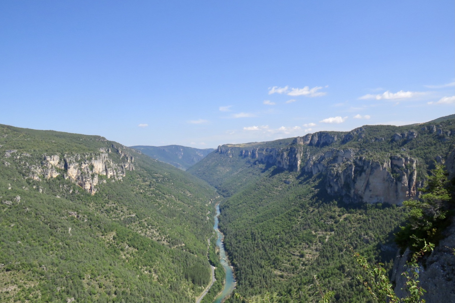
Here is a popular hike starting from the hamlet of Bourgarie. This route, mostly on the edge of the cliff, joins the Cinglegros rock, located above the Tarn gorges. This requires the use of ladders, but access to it is back and forth and can therefore be avoided, which puts the hike in medium difficulty.
Anyway, this hike offers beautiful scenery.

Already more than 200,000 users!
Uphill
542m
Highest point
875m
Downhill
542m
Lowest point
629m
Route type
Loop
Download the map on your smartphone to save battery and rest assured to always keep access to the route, even without signal.
Includes IGN France and Swisstopo.
I indicate whether dogs are allowed or prohibited on this trail
All year
0 ratings
Also enjoy:

Already more than 200,000 users!