Uphill
1067m
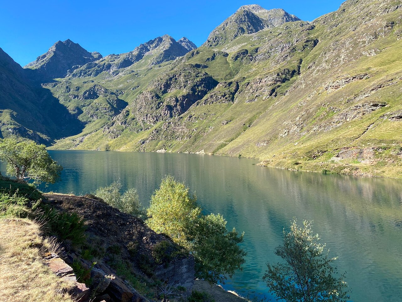
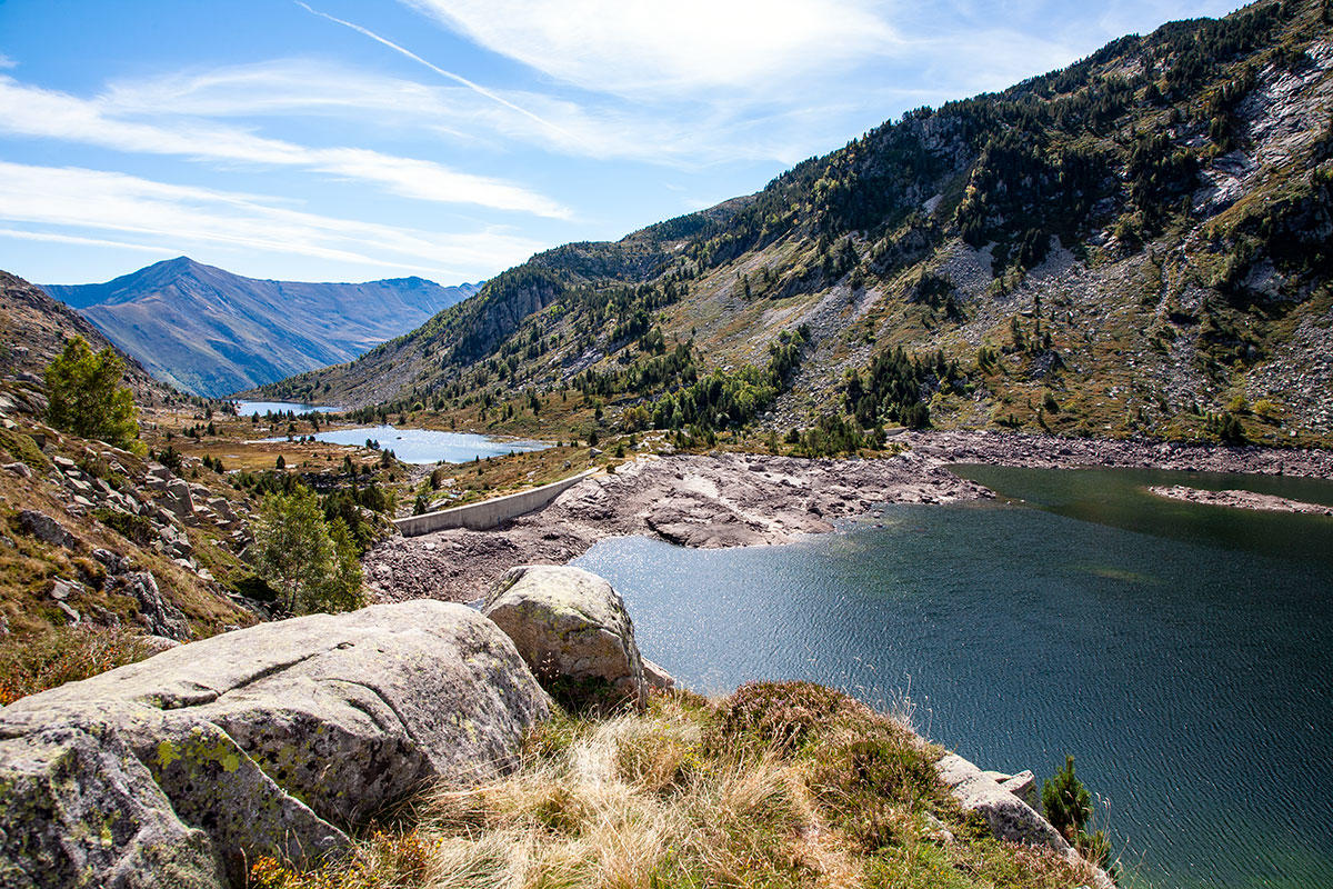
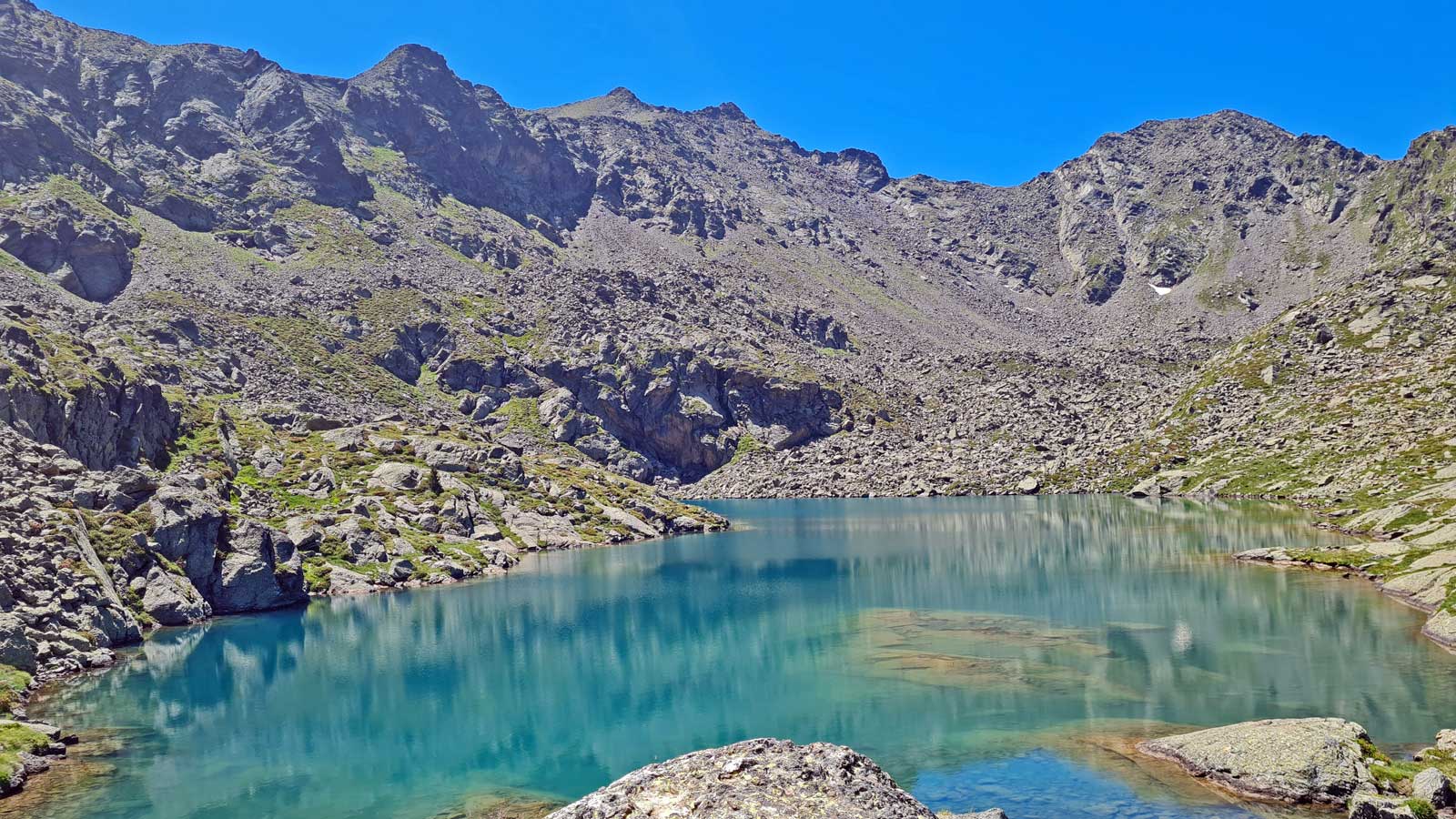
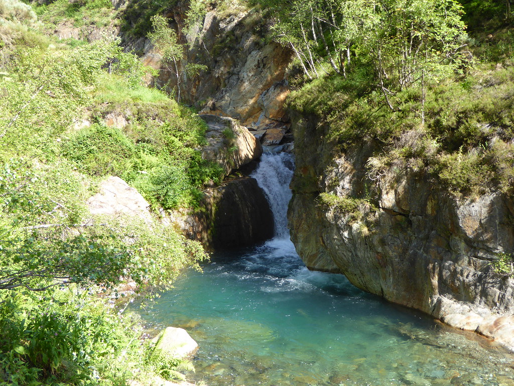
France > Occitanie > Ariège > Ariège Pyrenees Regional Natural Park
Length
10km
Duration
7h
Elev gain
1067m
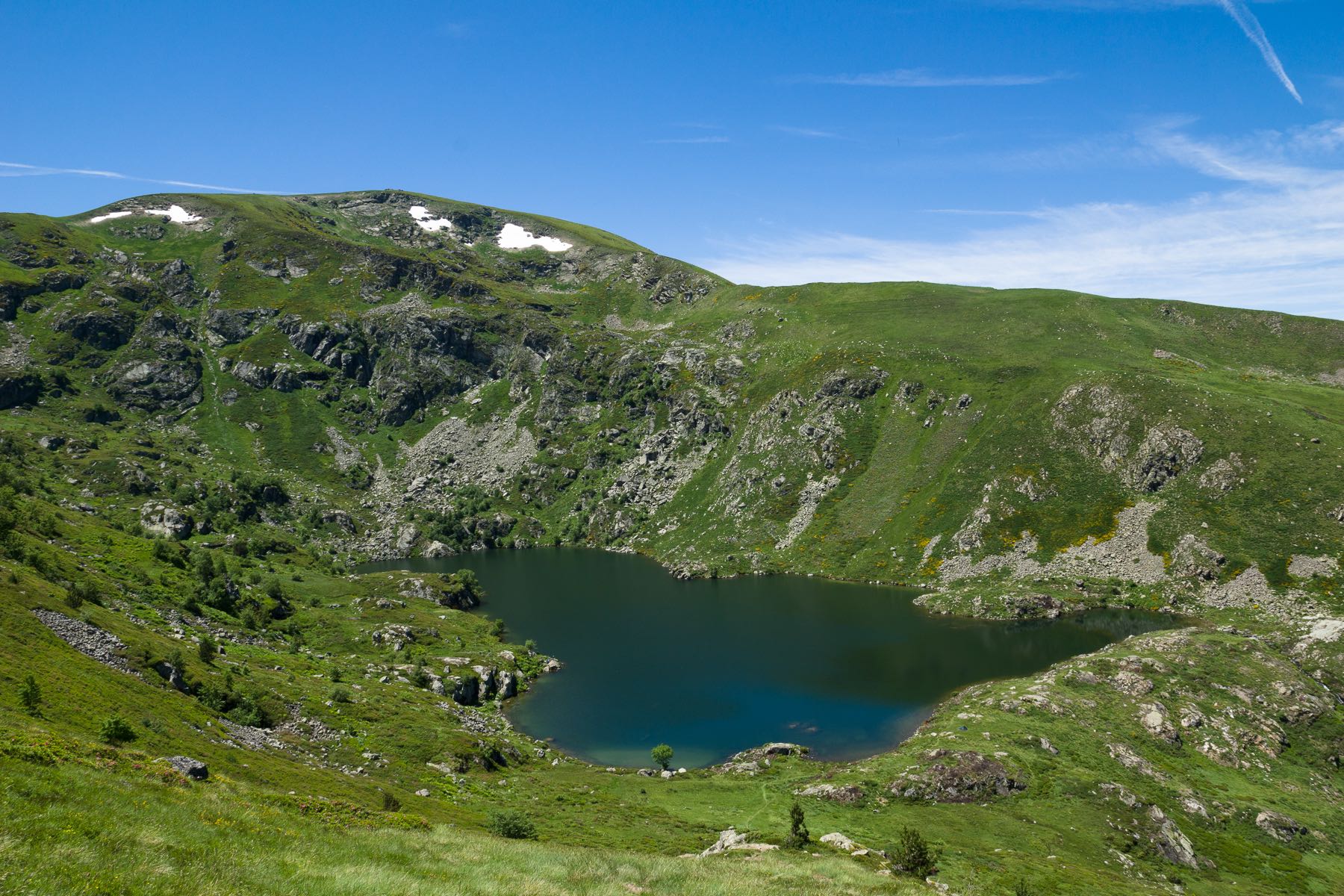
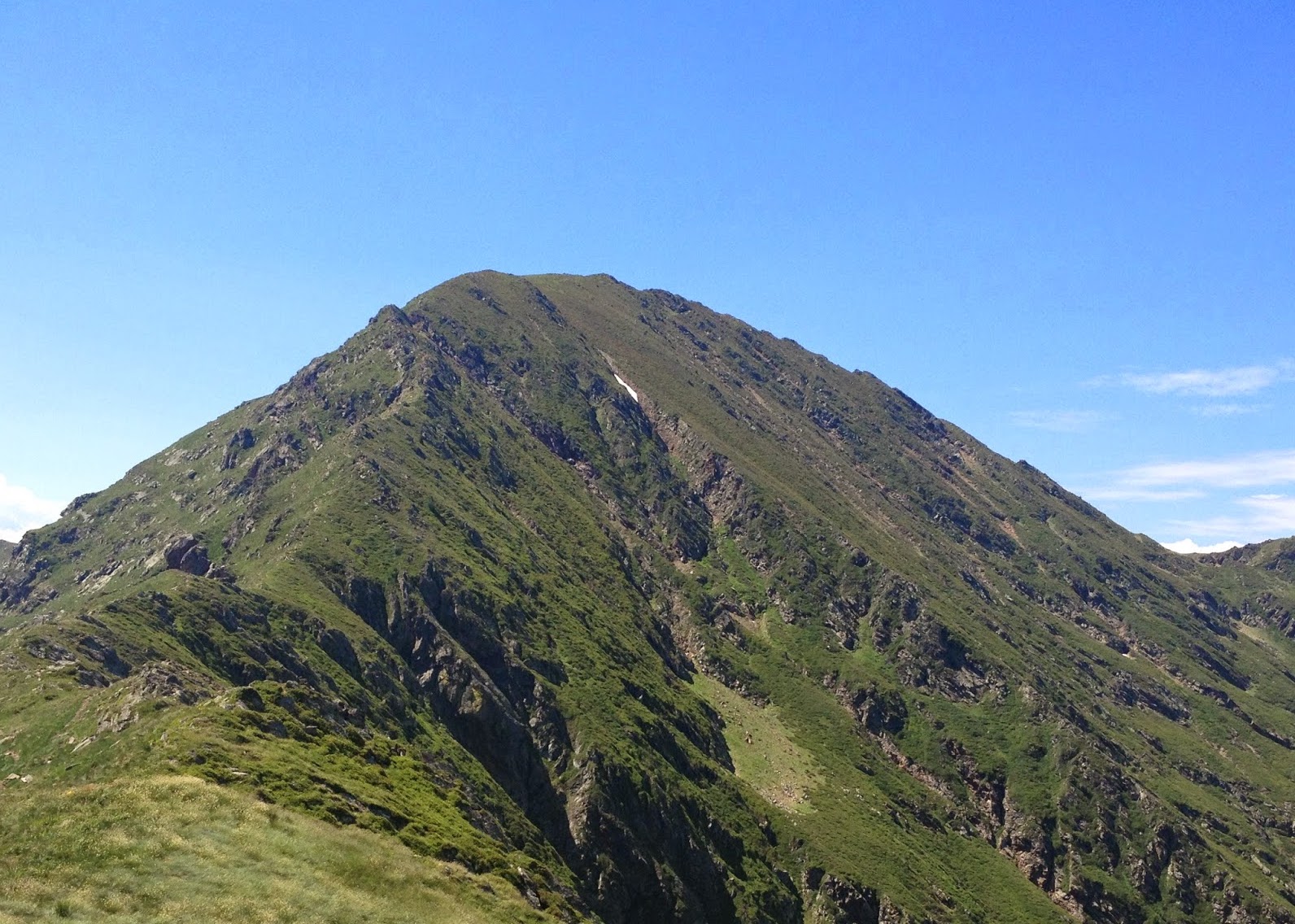
Departing from the ski resort of Goulier, this hike is done in two stages. The trail first takes on the Pic du Sarrasi (2,214m), then after a relatively flat course on a line of ridges, it rises to the Pic d'Endron (2,472m).
Stunning view but reserved for the most experienced.

Already more than 200,000 users!
Uphill
1067m
Highest point
2464m
Downhill
1067m
Lowest point
1480m
Route type
There and back
Download the map on your smartphone to save battery and rest assured to always keep access to the route, even without signal.
Includes IGN France and Swisstopo.
I indicate whether dogs are allowed or prohibited on this trail
From June to September
0 ratings
Also enjoy:

Already more than 200,000 users!