Uphill
655m
Length
12km
Duration
5h
Elev gain
655m
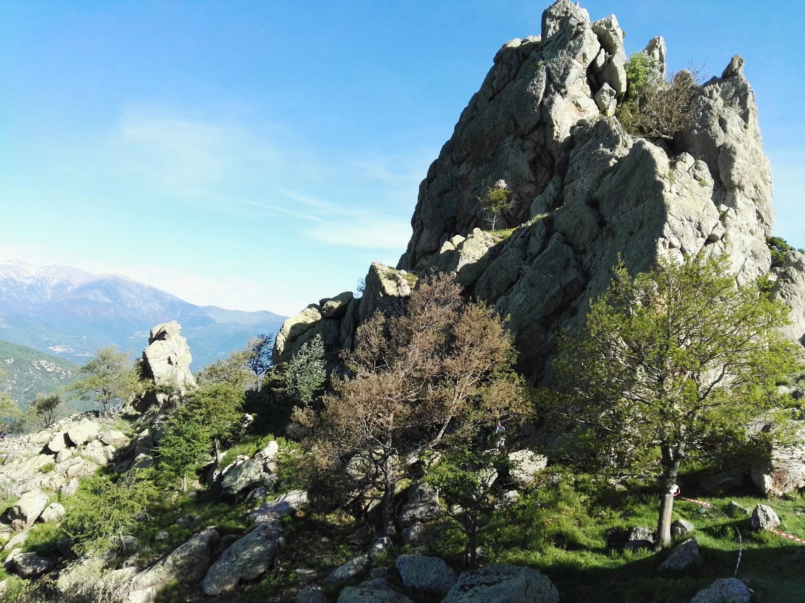
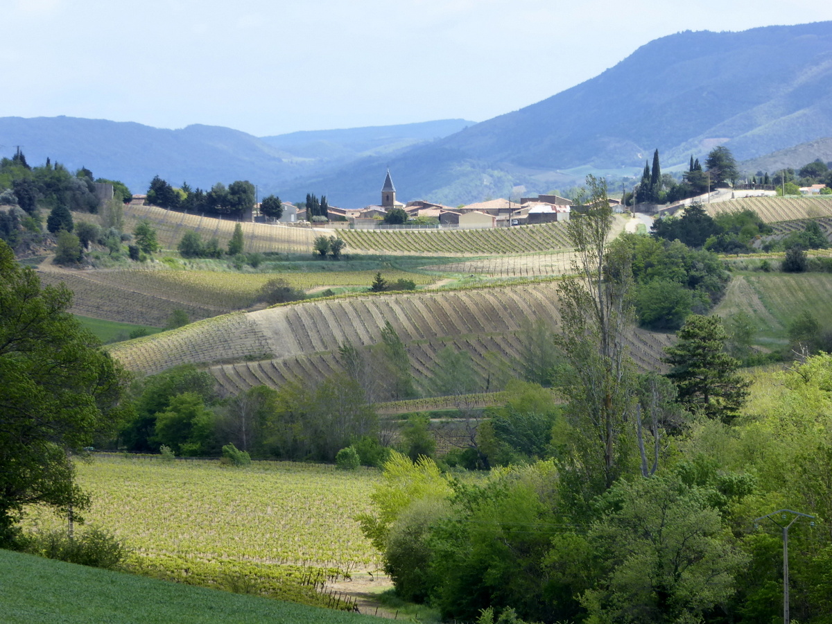
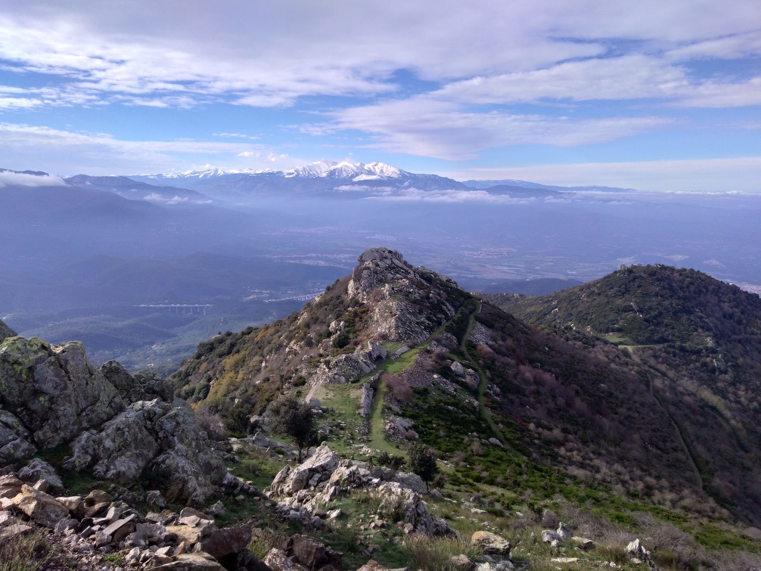
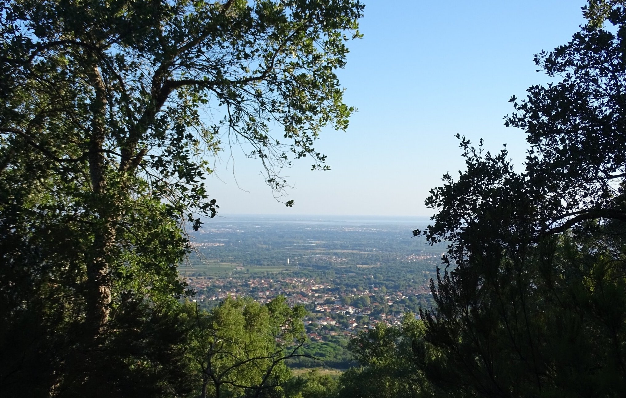
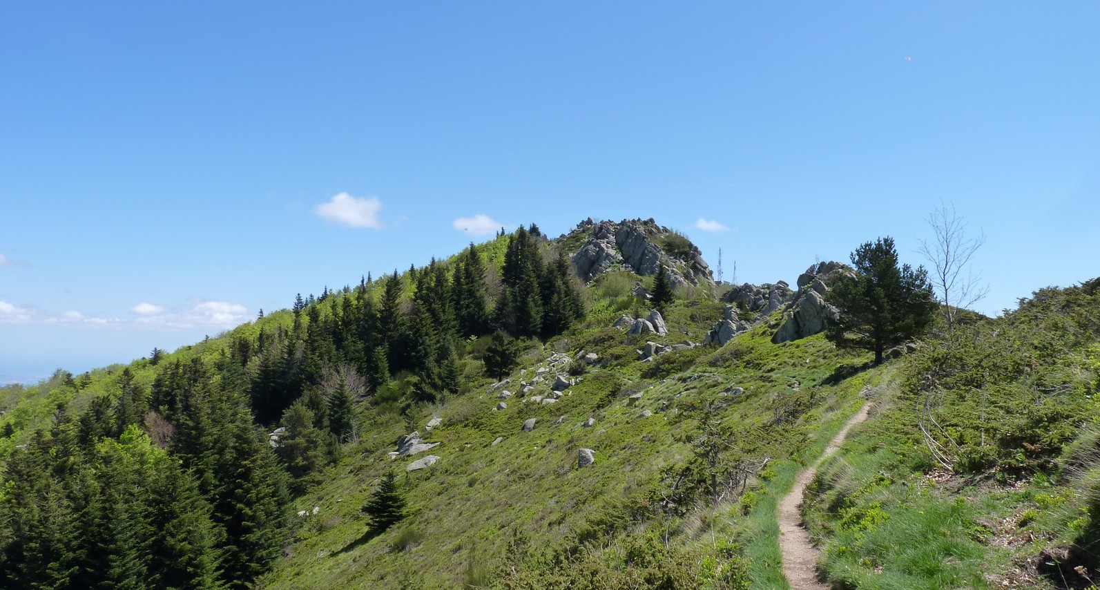
Starting from the peak of Fontfrède, this path leads to a crest separating France and Spain. Magnificent panorama over the Roussillon plain, the Canigou peak and Spain.

Already more than 200,000 users!
Uphill
655m
Highest point
1427m
Downhill
655m
Lowest point
973m
Route type
Loop
Download the map on your smartphone to save battery and rest assured to always keep access to the route, even without signal.
Includes IGN France and Swisstopo.
I indicate whether dogs are allowed or prohibited on this trail
Can be difficult in Winter
0 ratings
Also enjoy:

Already more than 200,000 users!