Uphill
614m
Length
6km
Duration
4h
Elev gain
614m
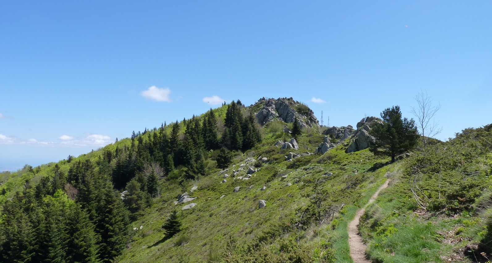
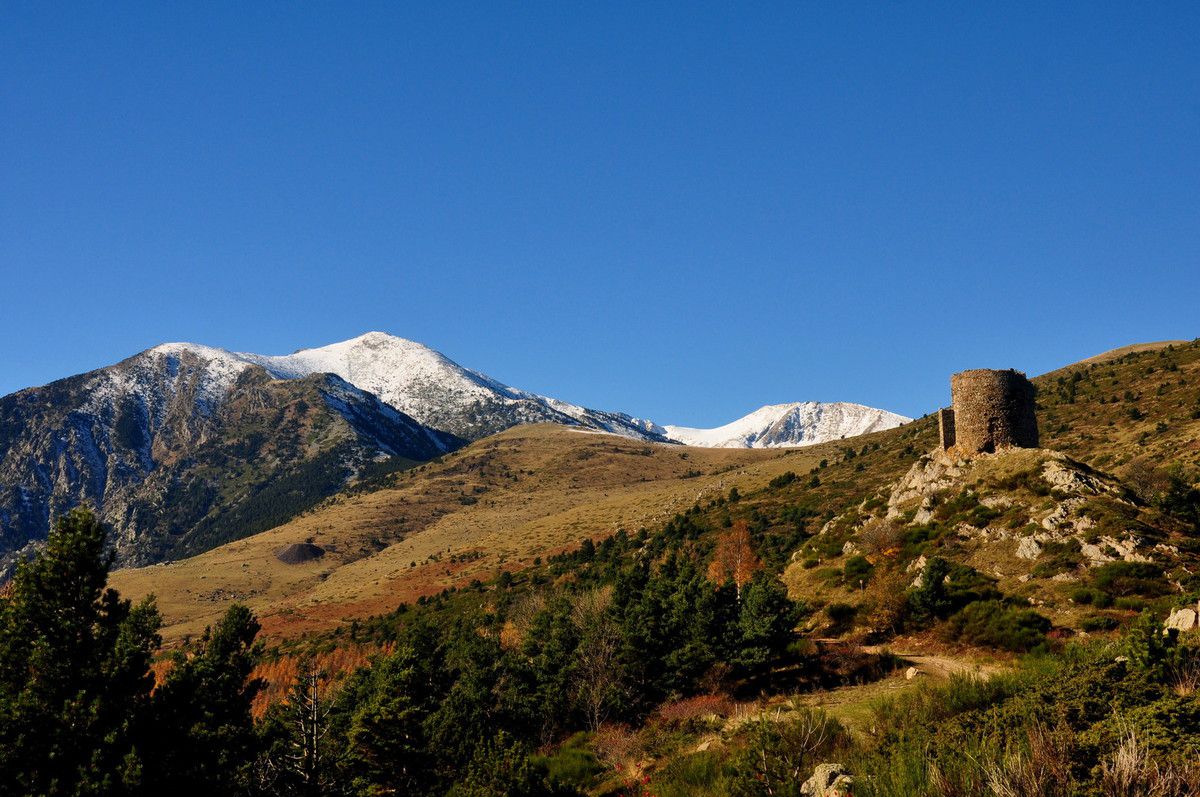
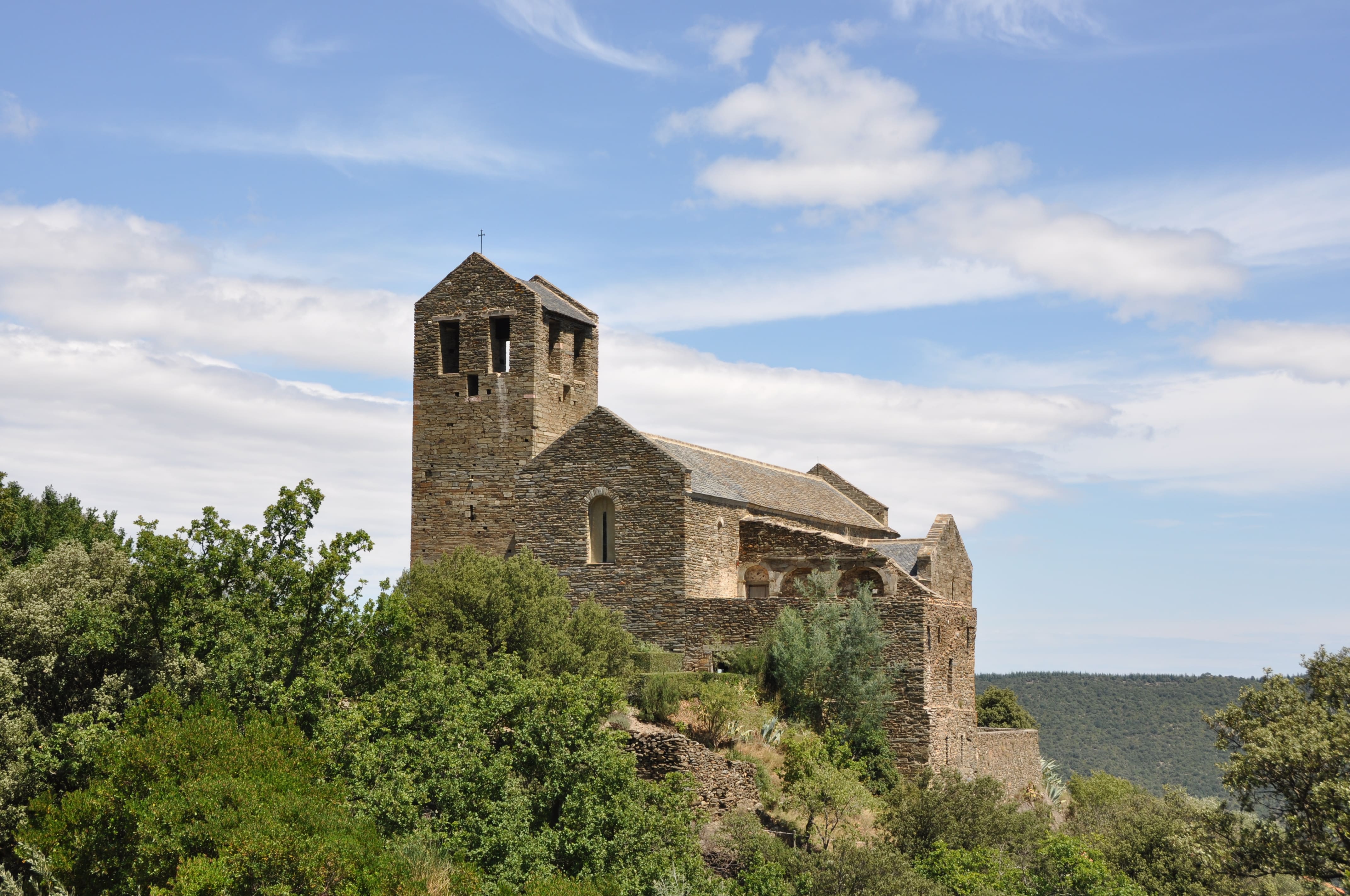
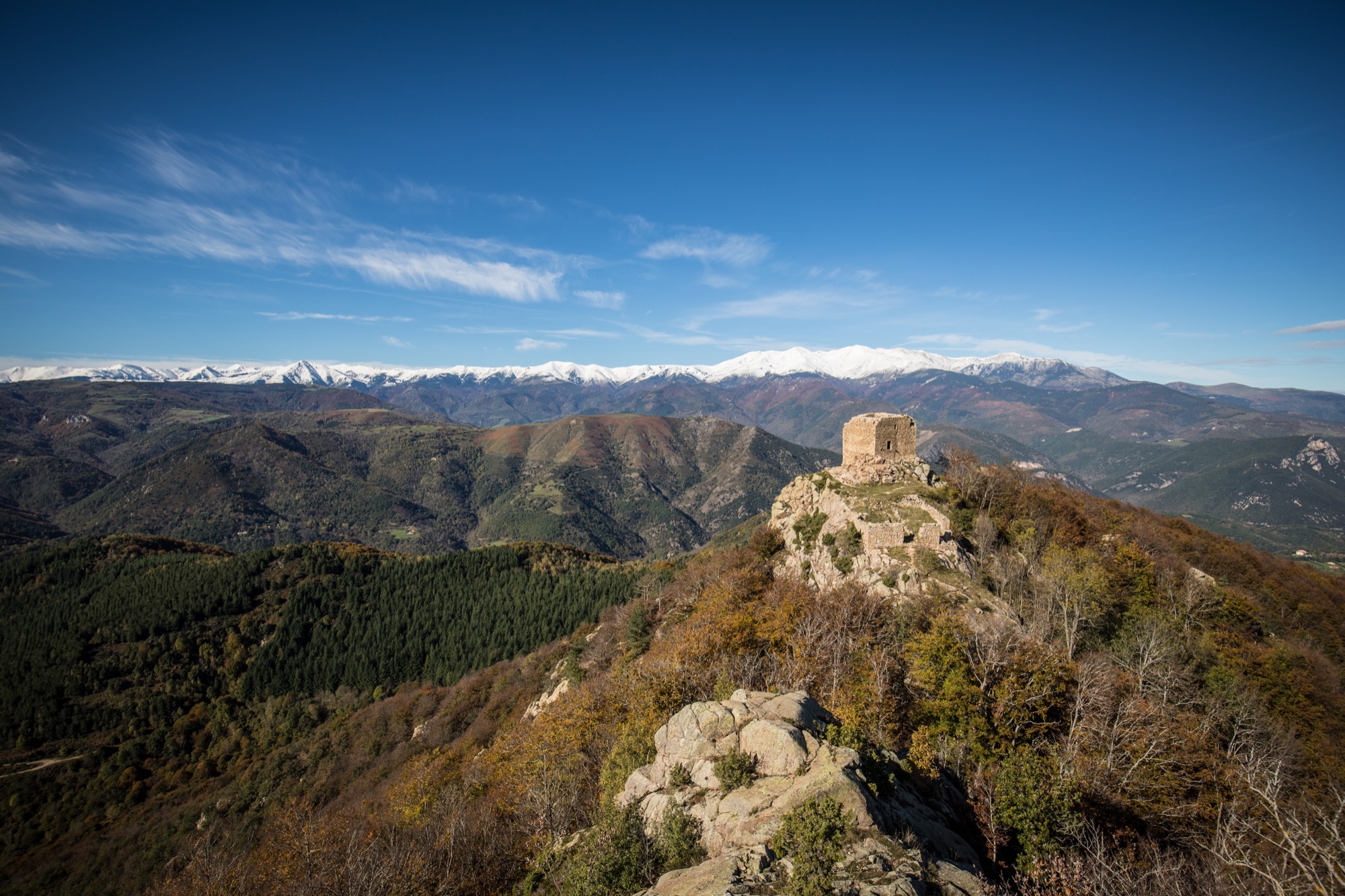
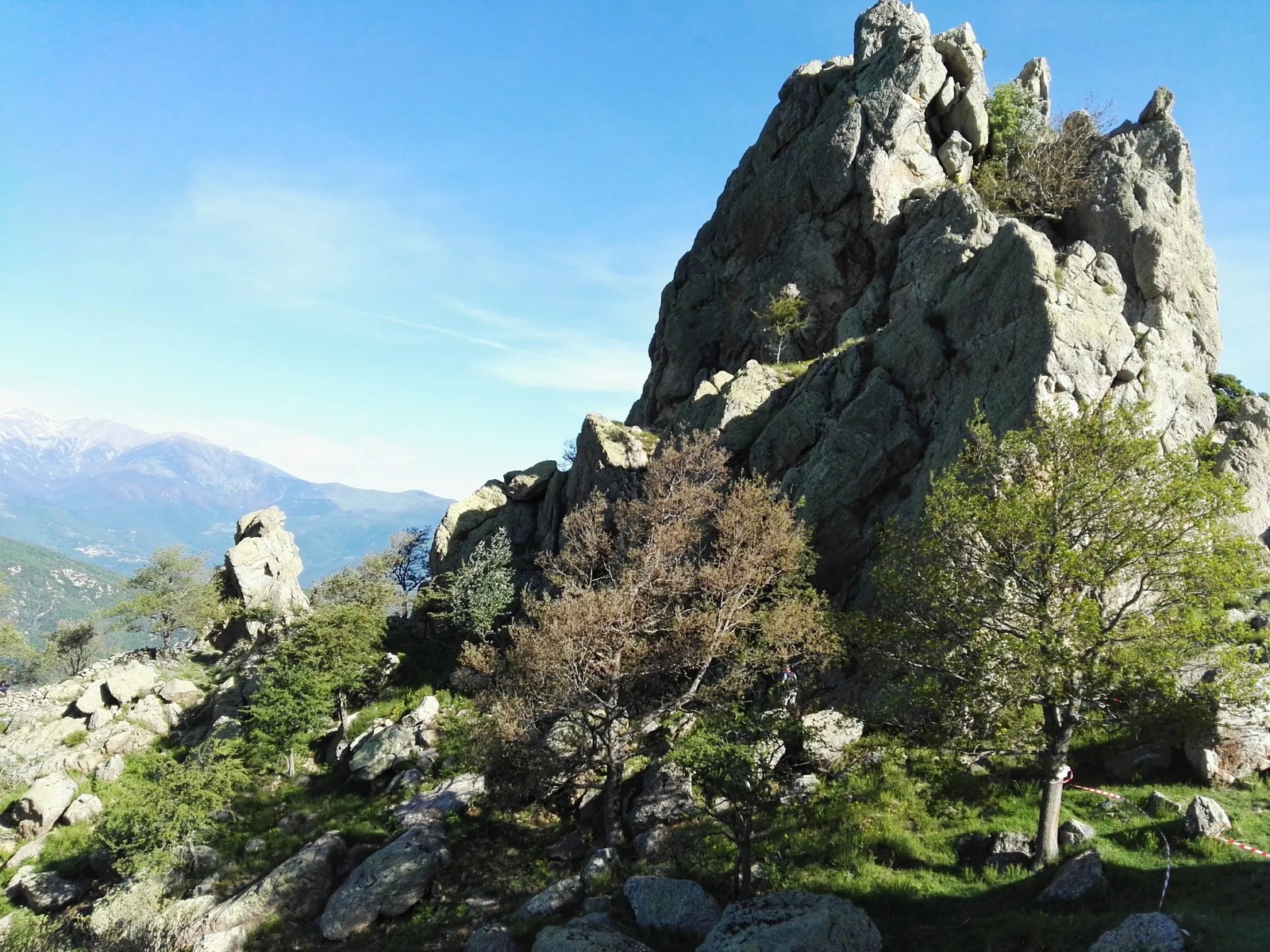
Leaving from Montalba, this pretty hike leads to the Saint-Sauveur rock, at an altitude of 1,235 metres. At the top, the view of the surrounding peaks is magnificent.

Already more than 200,000 users!
Uphill
614m
Highest point
1124m
Downhill
614m
Lowest point
532m
Route type
There and back
Download the map on your smartphone to save battery and rest assured to always keep access to the route, even without signal.
Includes IGN France and Swisstopo.
I indicate whether dogs are allowed or prohibited on this trail
All year
0 ratings
Also enjoy:

Already more than 200,000 users!