Uphill
436m
Length
10km
Duration
4h
Elev gain
436m
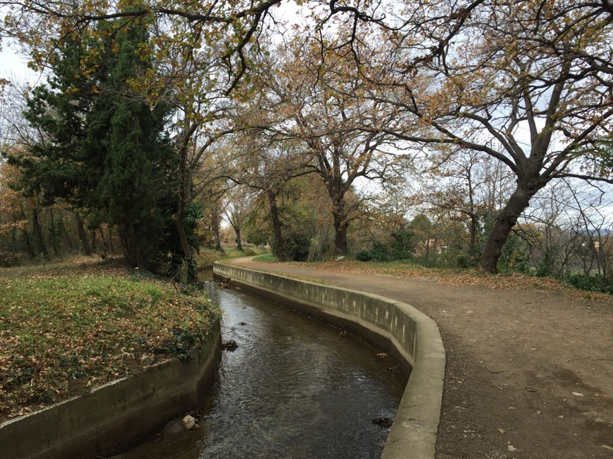
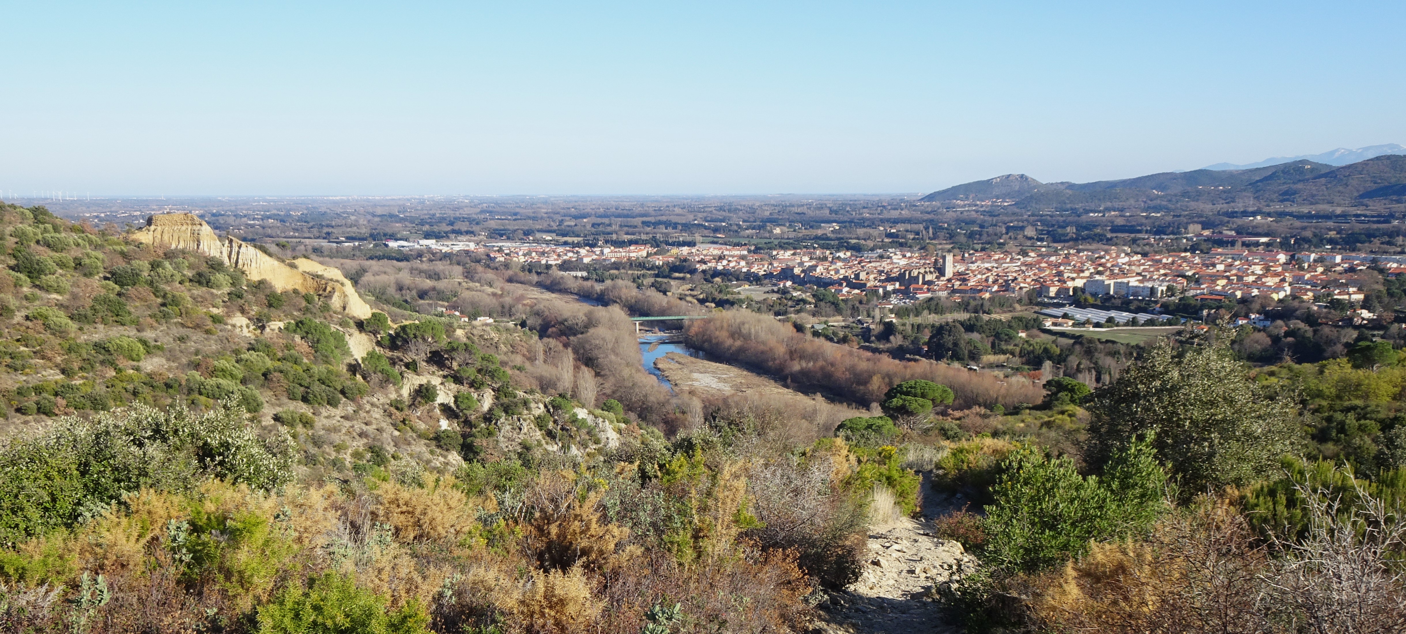
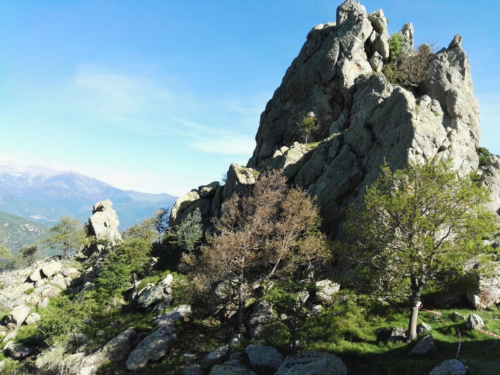
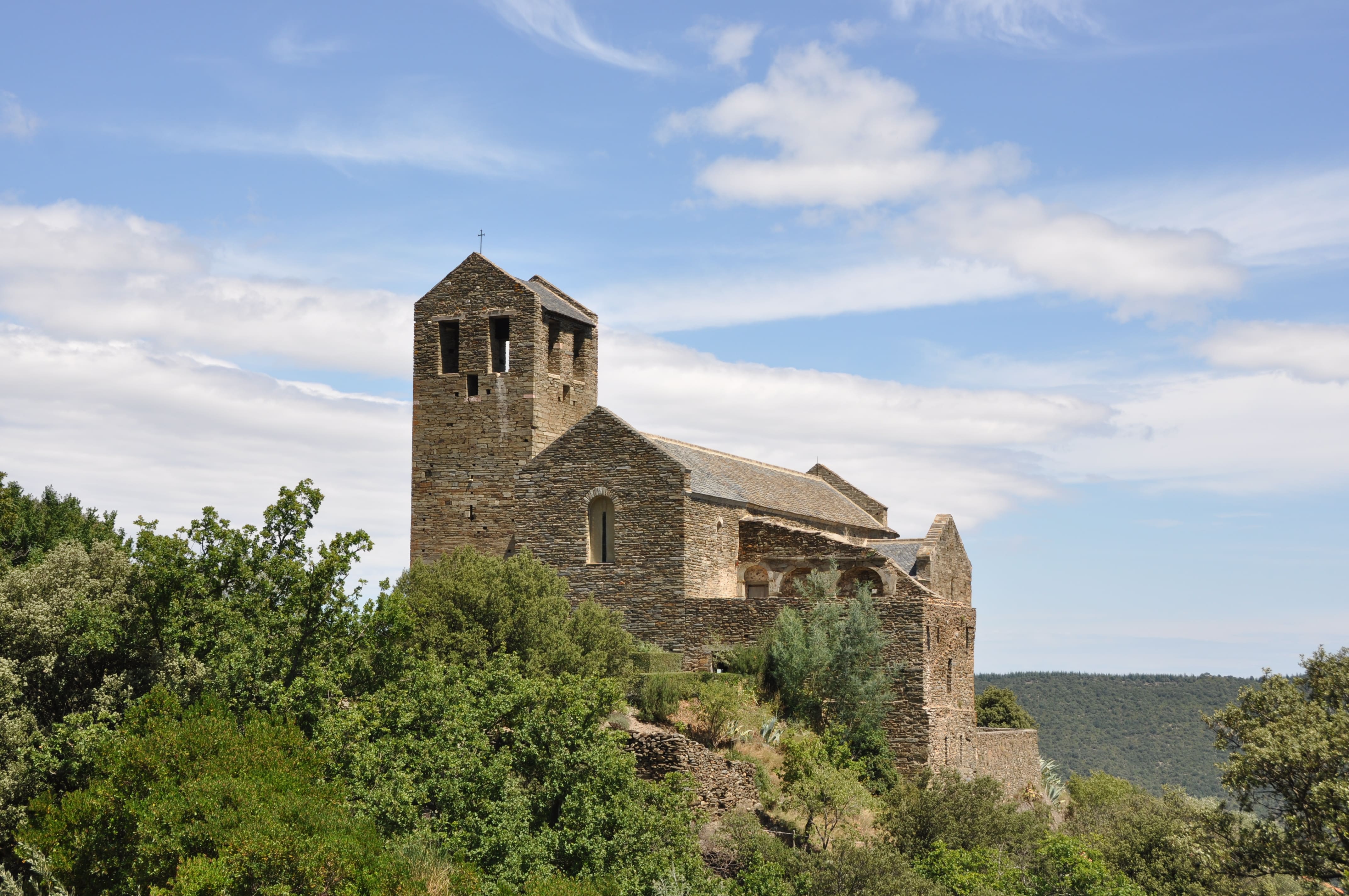
Starting from Boule-d'Amont, this pretty hike goes up to the priory of Serrabone. This religious building was classified as a historical monument in 1875. At the top, the view of the valley is superb.

Already more than 200,000 users!
Uphill
436m
Highest point
659m
Downhill
436m
Lowest point
400m
Route type
There and back
Download the map on your smartphone to save battery and rest assured to always keep access to the route, even without signal.
Includes IGN France and Swisstopo.
I indicate whether dogs are allowed or prohibited on this trail
All year
1 rating
Also enjoy:

Already more than 200,000 users!