Uphill
27m
Length
5km
Duration
1h30min
Elev gain
27m
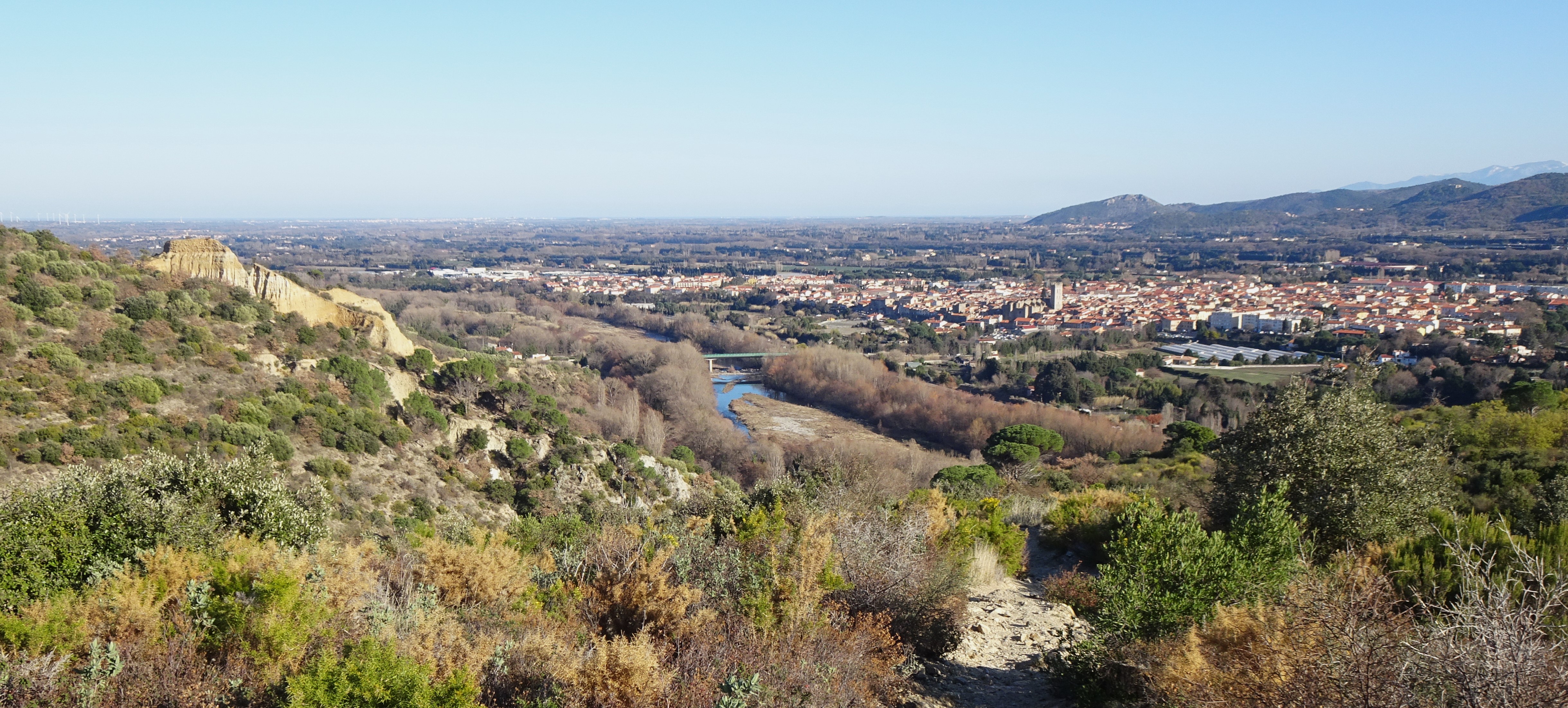
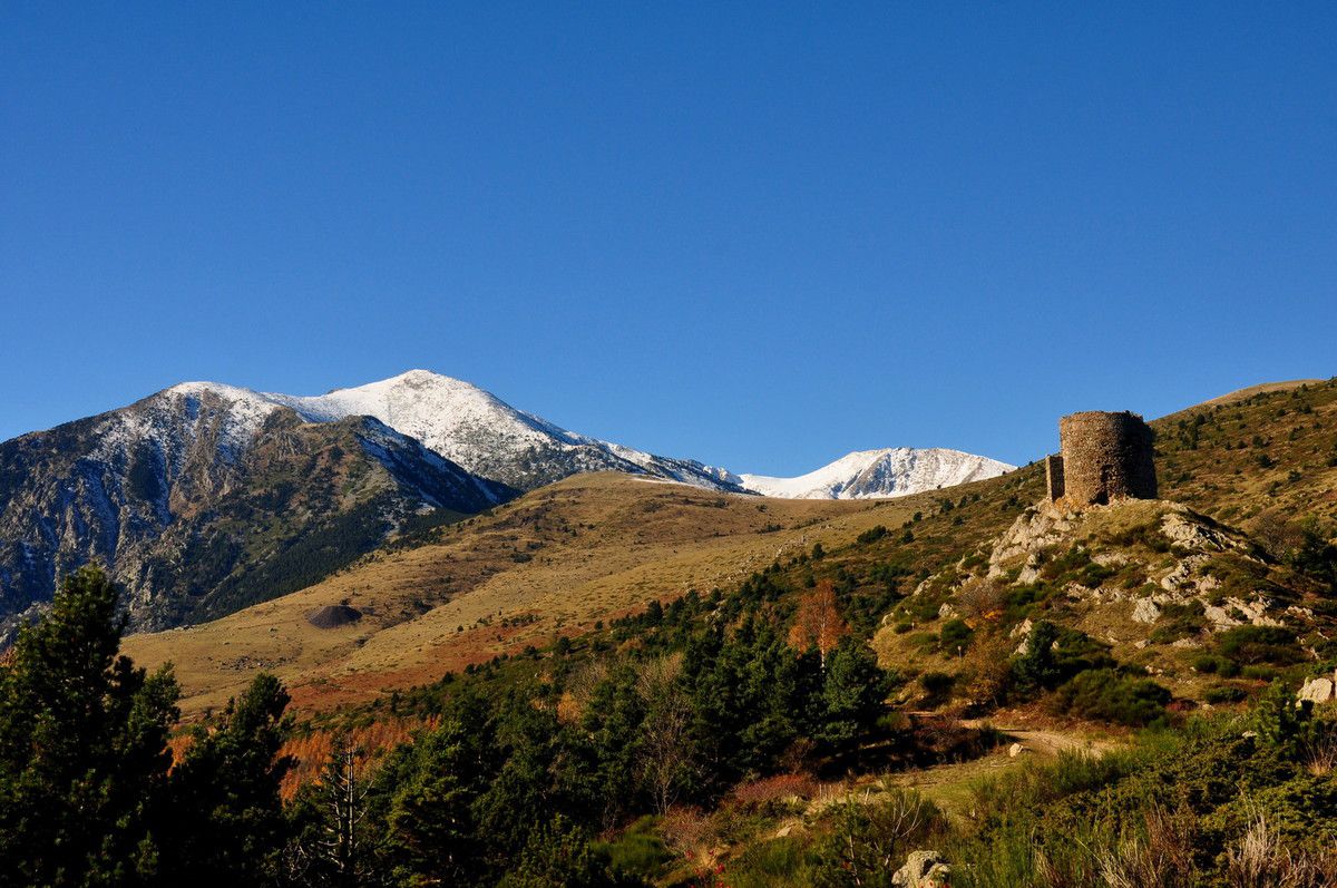
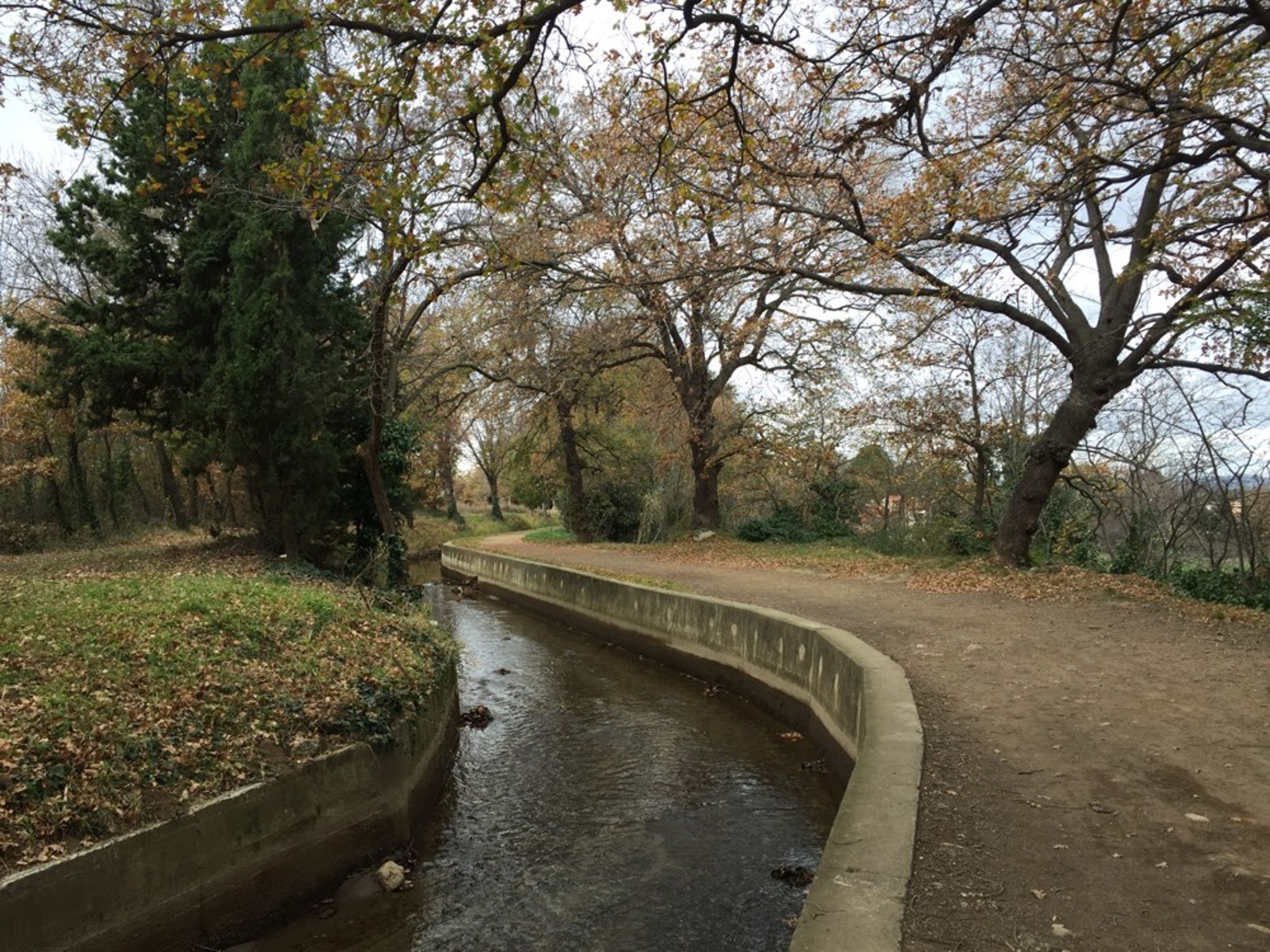
Between the Perpignan canal and the Têt, this hike is very pleasant. The trail is shaded and runs along the canal. Note that it is possible to picnic along the trail and even to swim.

Already more than 200,000 users!
Uphill
27m
Highest point
171m
Downhill
27m
Lowest point
148m
Route type
There and back
Download the map on your smartphone to save battery and rest assured to always keep access to the route, even without signal.
Includes IGN France and Swisstopo.
I indicate whether dogs are allowed or prohibited on this trail
All year
0 ratings
Also enjoy:

Already more than 200,000 users!