Uphill
208m
Length
7km
Duration
2h
Elev gain
208m
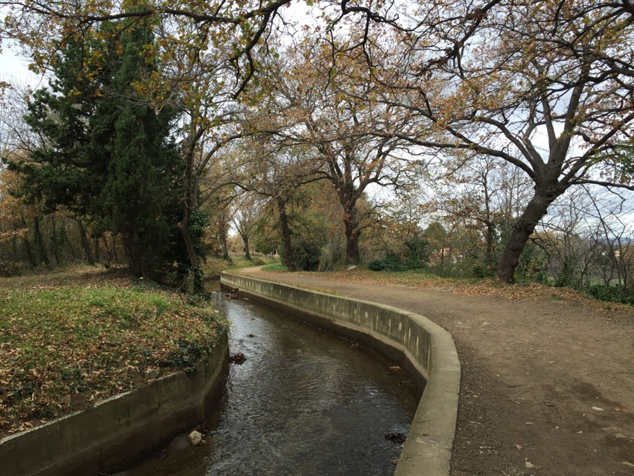
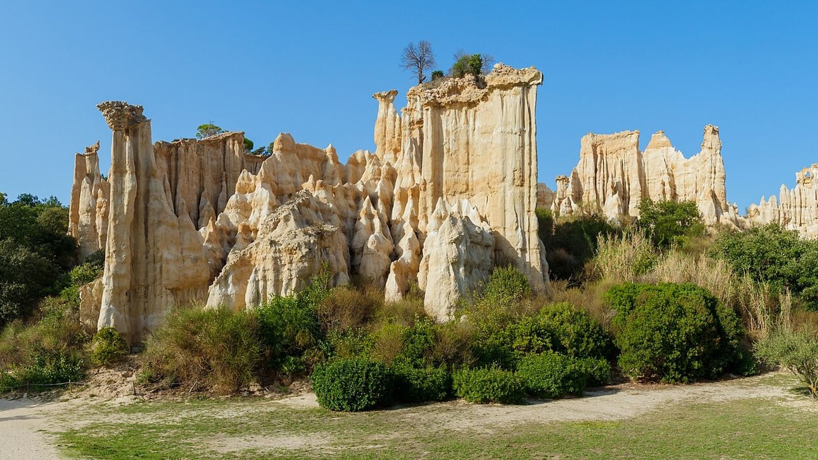
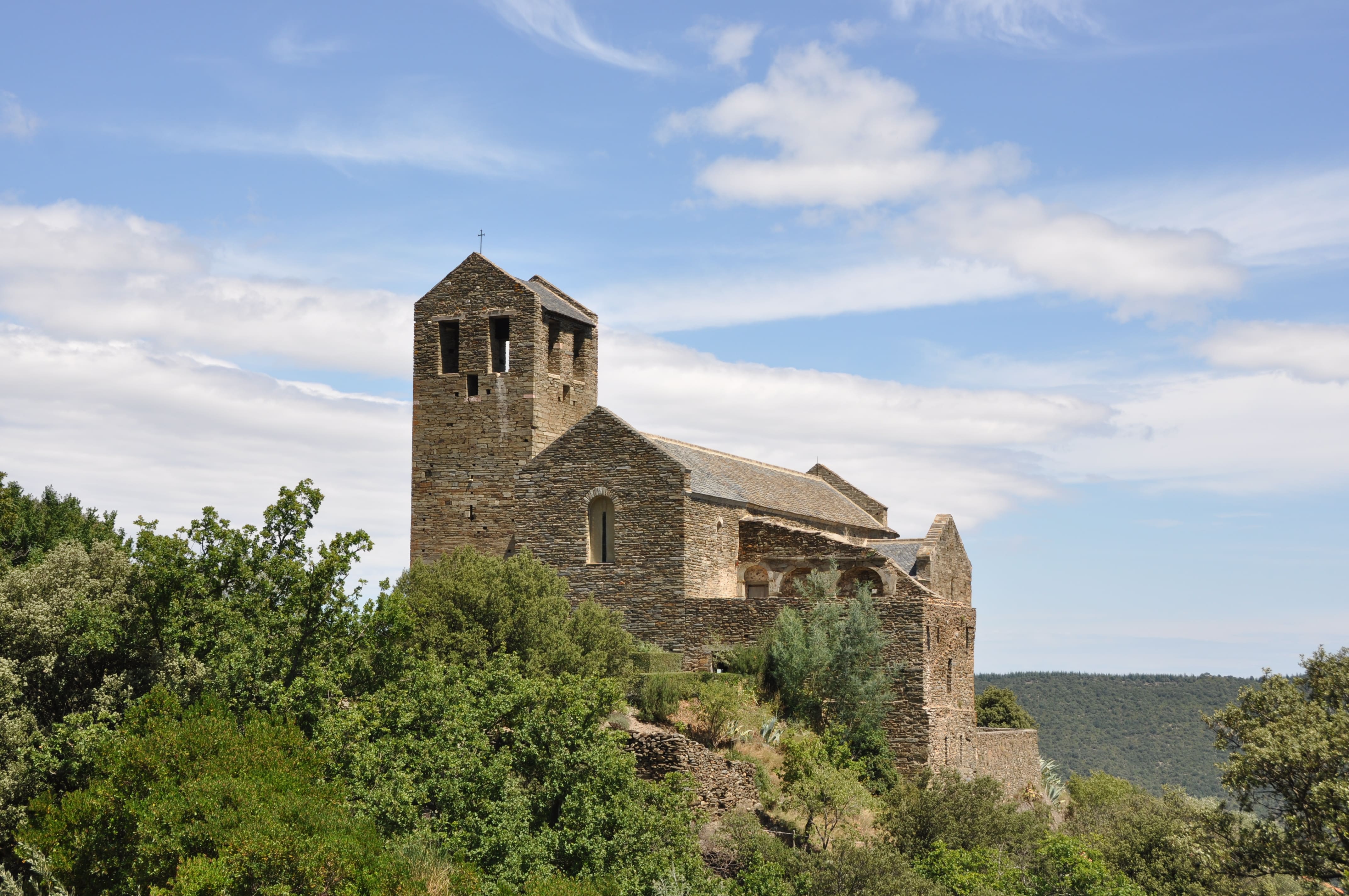
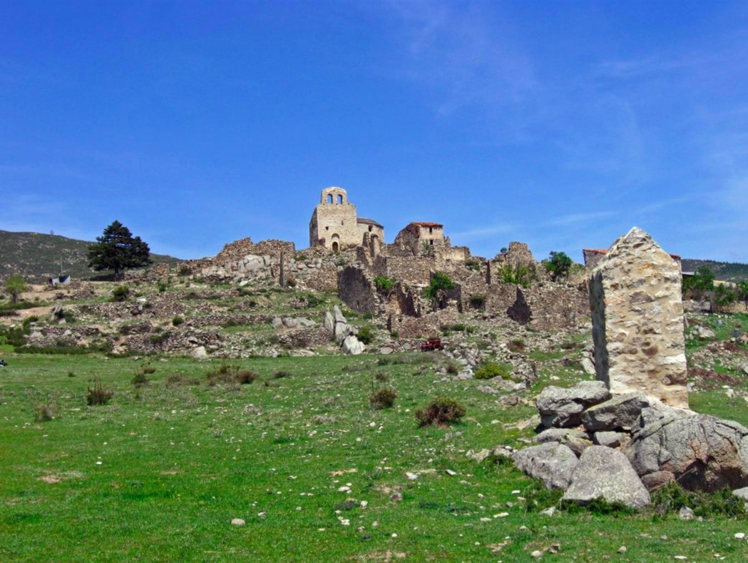
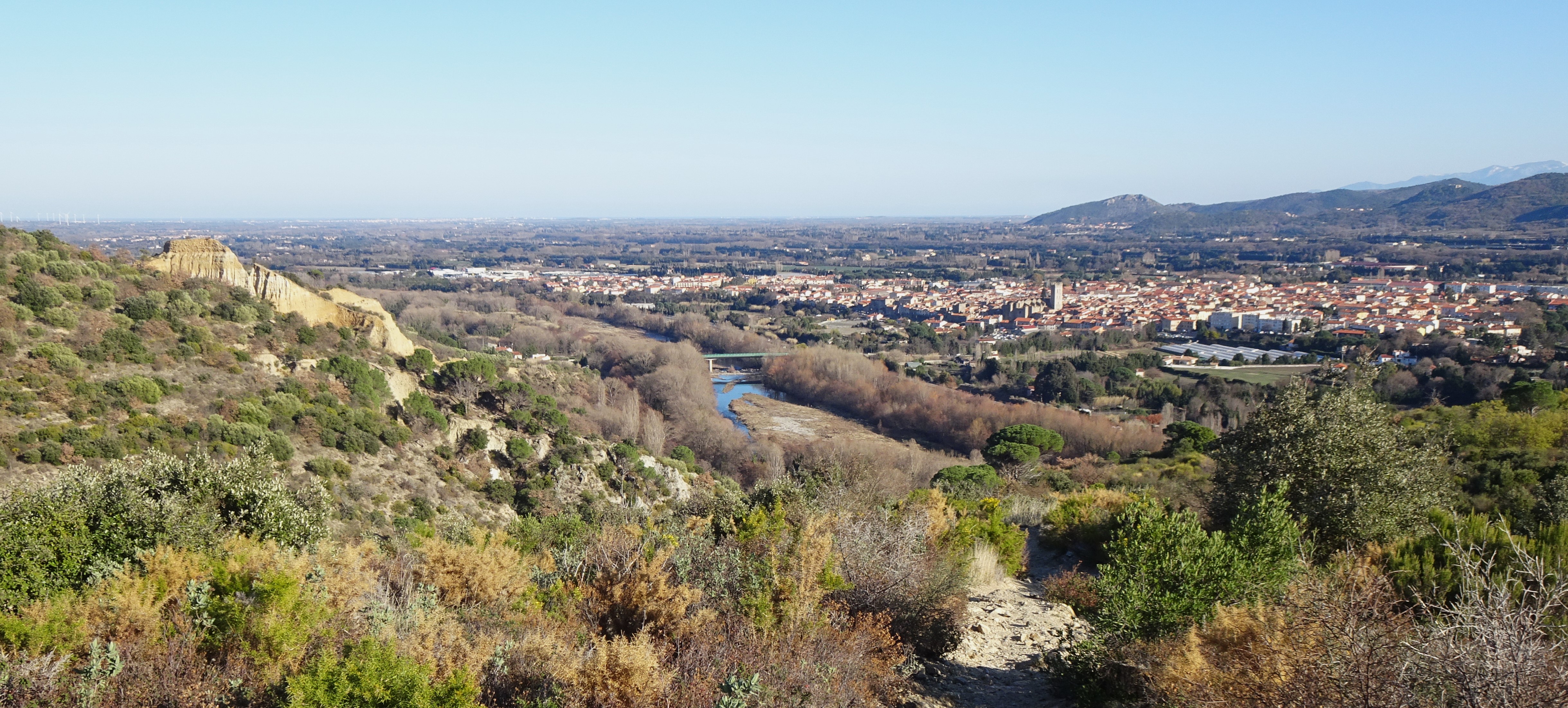
Here is a pretty hike on the heights of Ille-sur-Têt. The path climbs from the start and quickly offers beautiful views of the surroundings. The return passes through the Saint-Sauveur de Casenoves church before emerging close to the Têt, in which it is possible to swim.

Already more than 200,000 users!
Uphill
208m
Highest point
335m
Downhill
208m
Lowest point
132m
Route type
Loop
Download the map on your smartphone to save battery and rest assured to always keep access to the route, even without signal.
Includes IGN France and Swisstopo.
4 ratings
Also enjoy:

Already more than 200,000 users!