Uphill
448m
Length
10km
Duration
3h30min
Elev gain
448m
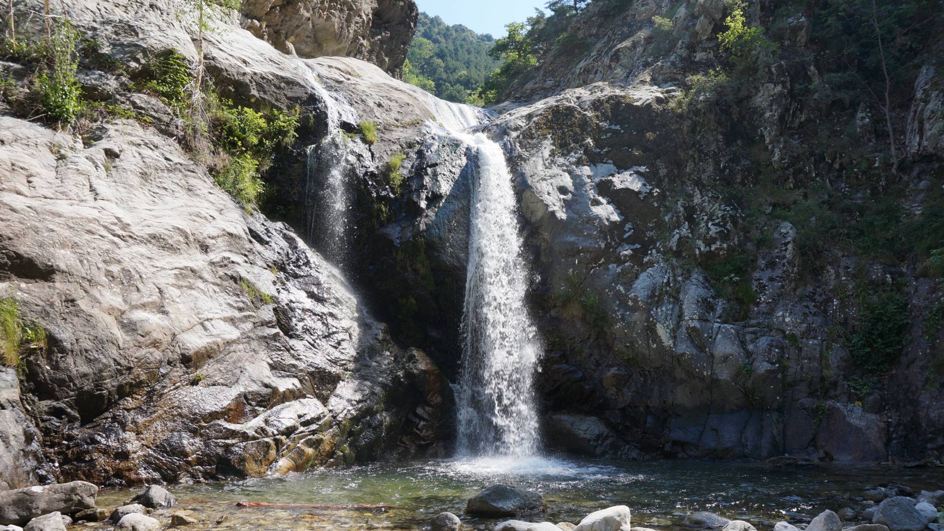
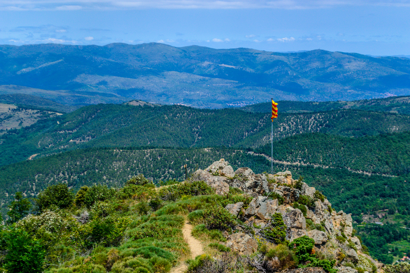
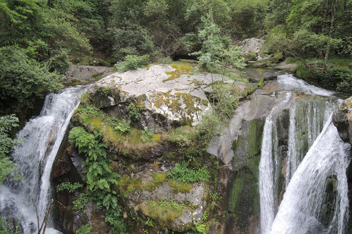
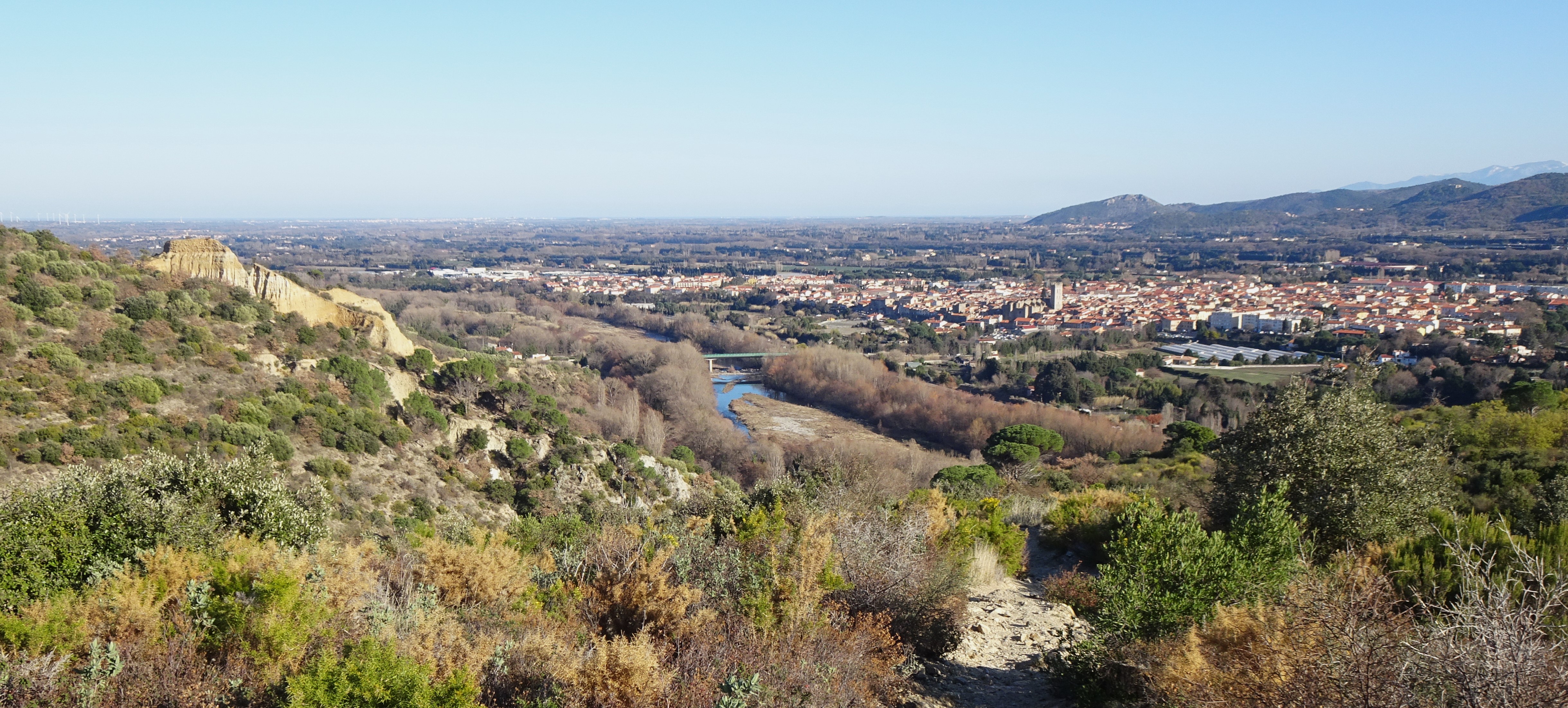
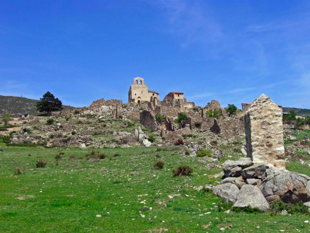
A beautiful hike that combines natural and historical heritage. From Eus, the path leads to the abandoned village of Comes. After a climb on a steep and rocky path, the return is in the shade.

Already more than 200,000 users!
Uphill
448m
Highest point
777m
Downhill
448m
Lowest point
369m
Route type
Loop
Download the map on your smartphone to save battery and rest assured to always keep access to the route, even without signal.
Includes IGN France and Swisstopo.
I indicate whether dogs are allowed or prohibited on this trail
All year
0 ratings
Also enjoy:

Already more than 200,000 users!