Uphill
341m
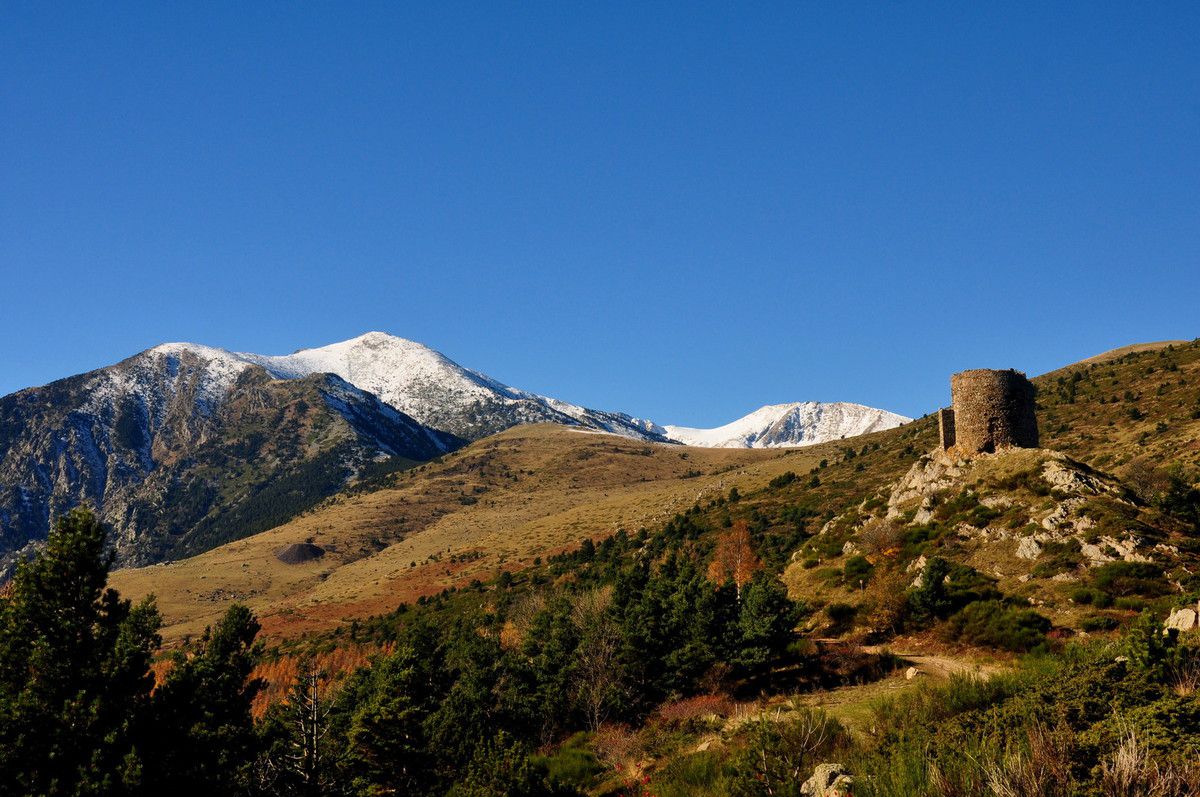
France > Occitanie > Pyrénées-Orientales > Catalan Pyrenees Regional Natural Park
Length
5km
Duration
2h30min
Elev gain
341m
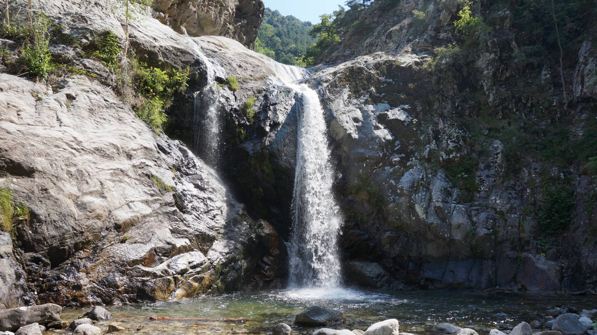
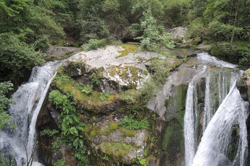
Refreshing stroll along the water, crossing the gorges using several bridges. Waterfall on arrival.
⚠️ Attention: mid-2022, this trail was closed following a landslide. Check with the tourist office before going there.

Already more than 200,000 users!
Uphill
341m
Highest point
1108m
Downhill
339m
Lowest point
830m
Route type
There and back
Download the map on your smartphone to save battery and rest assured to always keep access to the route, even without signal.
Includes IGN France and Swisstopo.
I indicate whether dogs are allowed or prohibited on this trail
All year
1 rating
Also enjoy:

Already more than 200,000 users!