Uphill
1283m
France > Occitanie > Pyrénées-Orientales > Catalan Pyrenees Regional Natural Park
Length
15km
Duration
8h30min
Elev gain
1283m
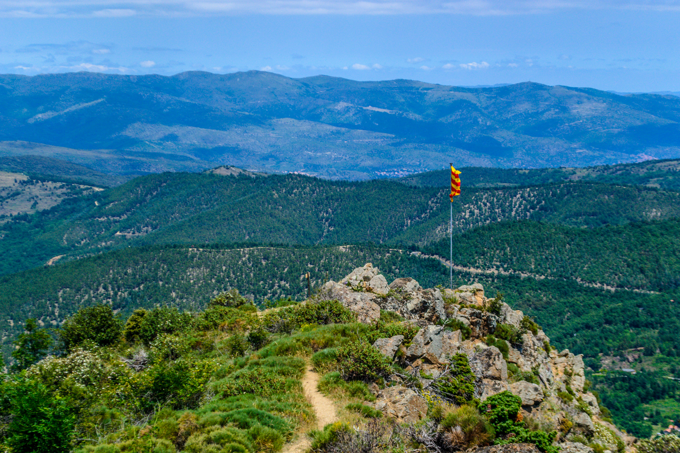
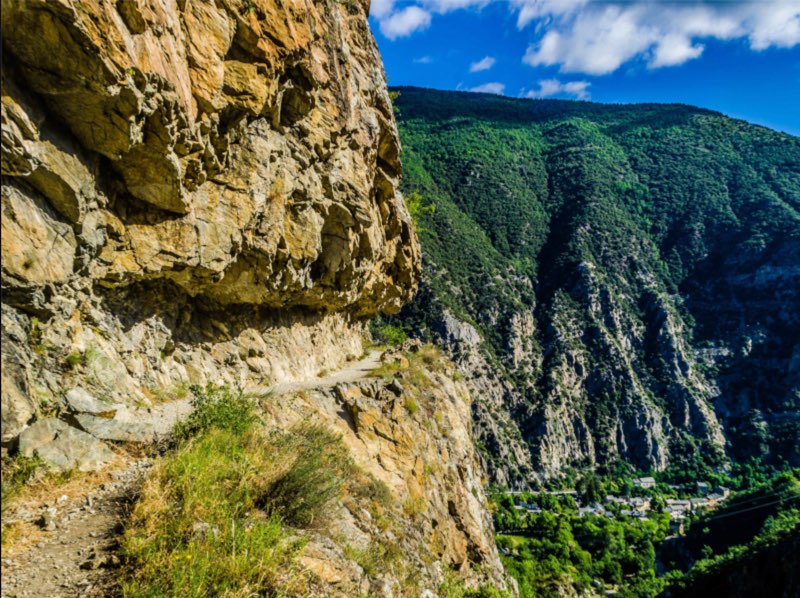
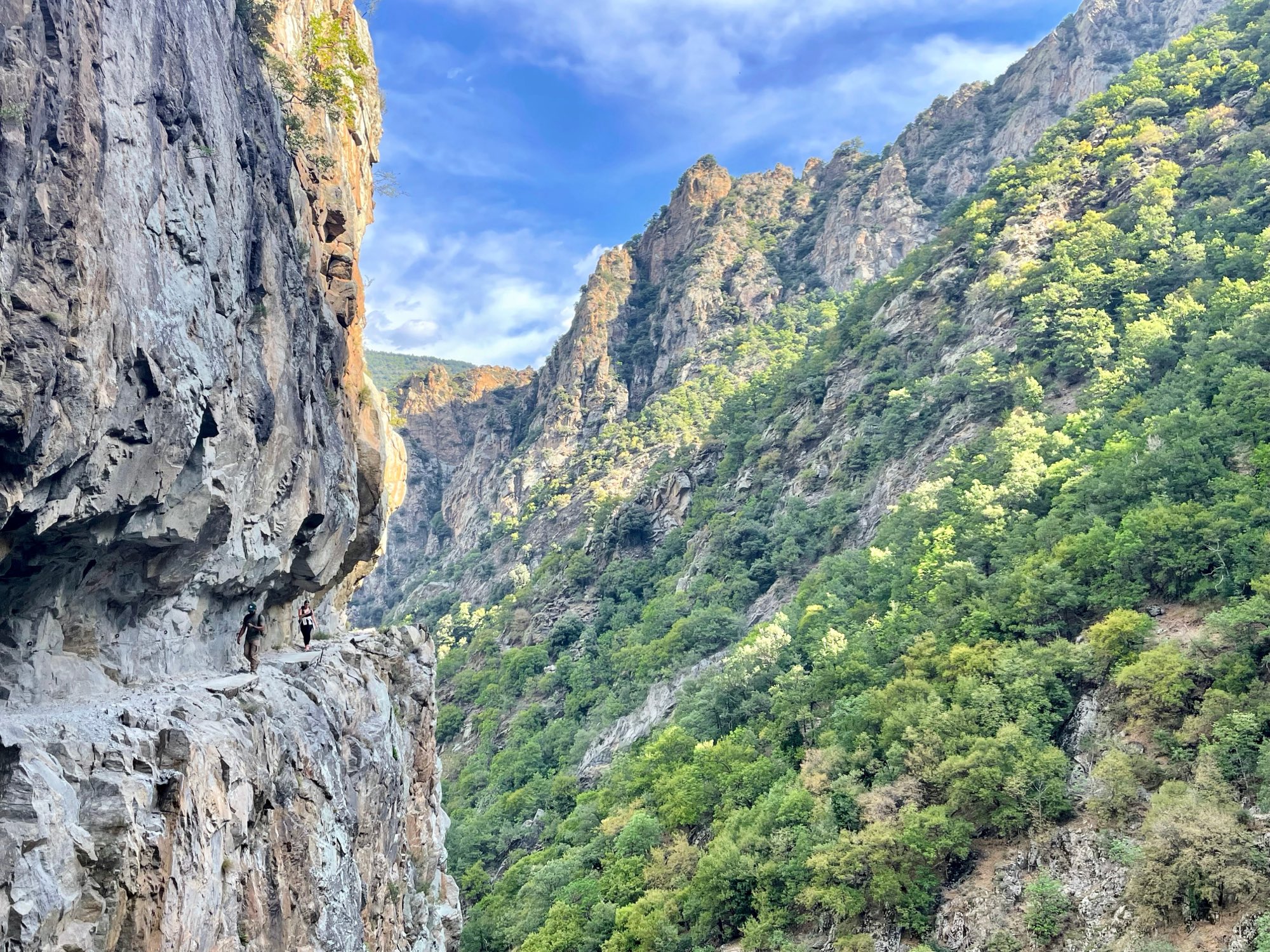
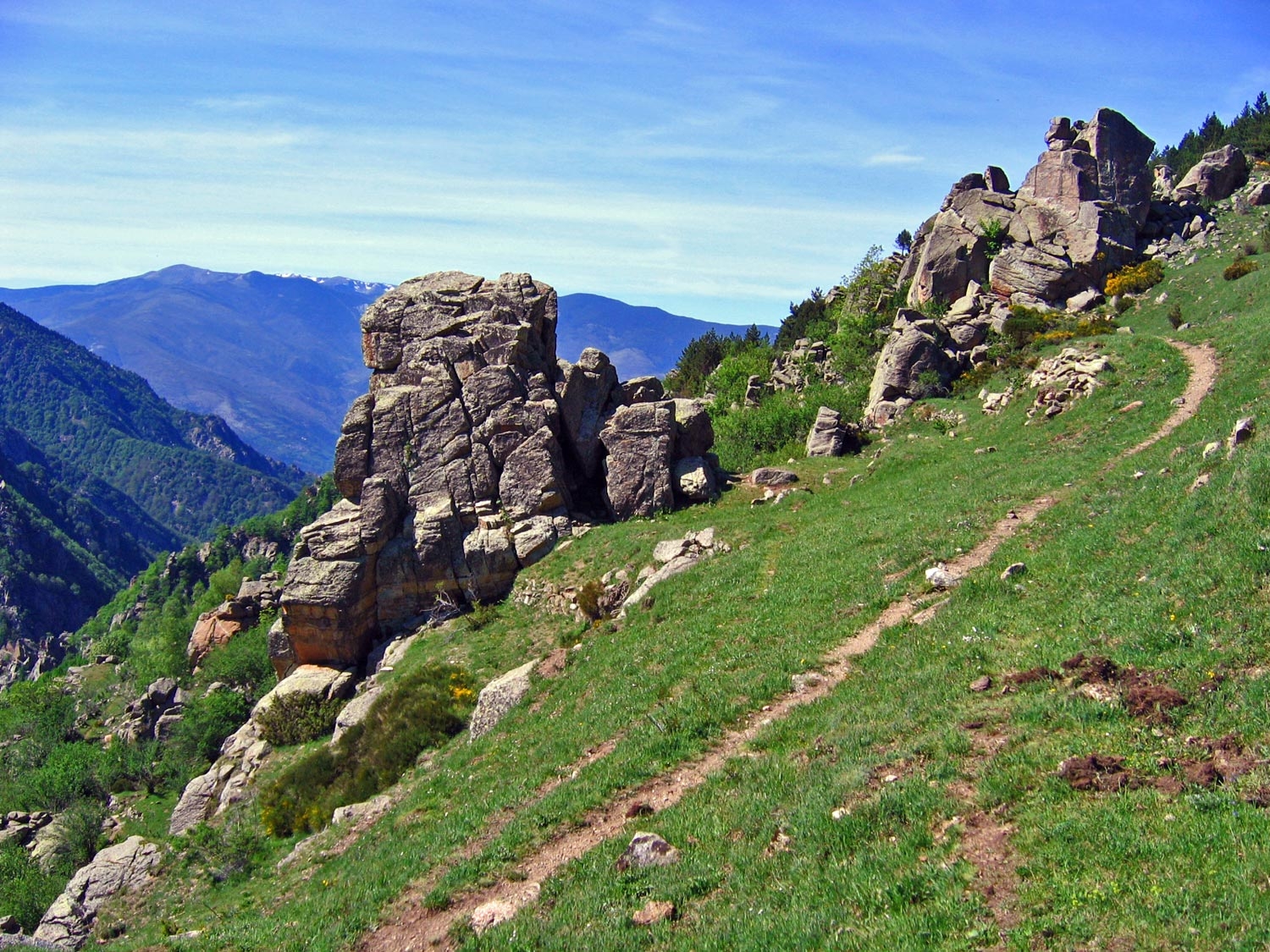
This hike, both technical and sporty, leads to the Pic des Trois Étoiles, at an altitude of 2,099 metres. The trail offers magnificent views of the Carlit peak, the Canigou massif to the Mediterranean Sea. Reserved for experienced hikers.

Already more than 200,000 users!
Uphill
1283m
Highest point
2088m
Downhill
1283m
Lowest point
852m
Route type
Loop
Download the map on your smartphone to save battery and rest assured to always keep access to the route, even without signal.
Includes IGN France and Swisstopo.
I indicate whether dogs are allowed or prohibited on this trail
From May to September
0 ratings
Also enjoy:

Already more than 200,000 users!