Uphill
1176m
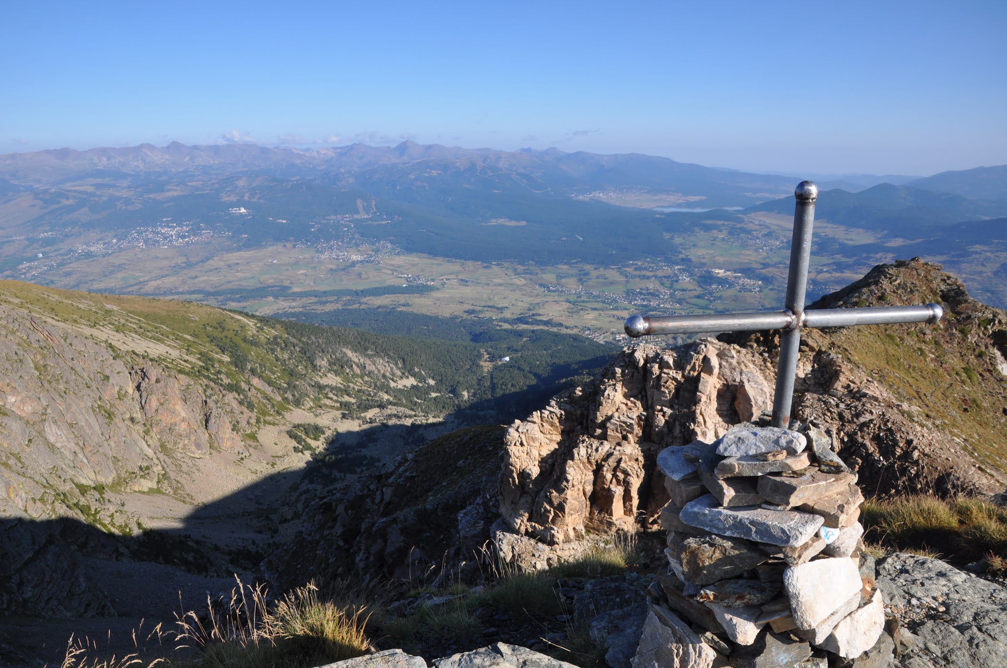
France > Occitanie > Pyrénées-Orientales > Catalan Pyrenees Regional Natural Park
Length
18km
Duration
8h30min
Elev gain
1176m
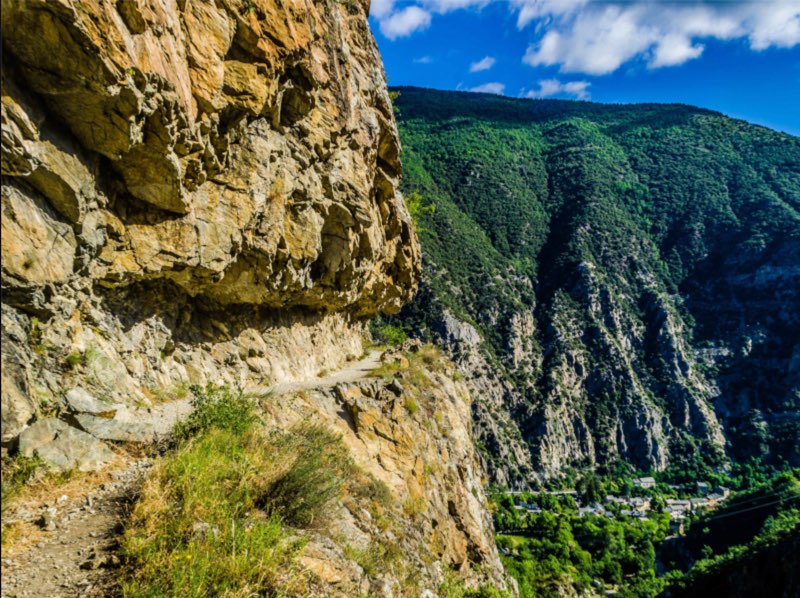
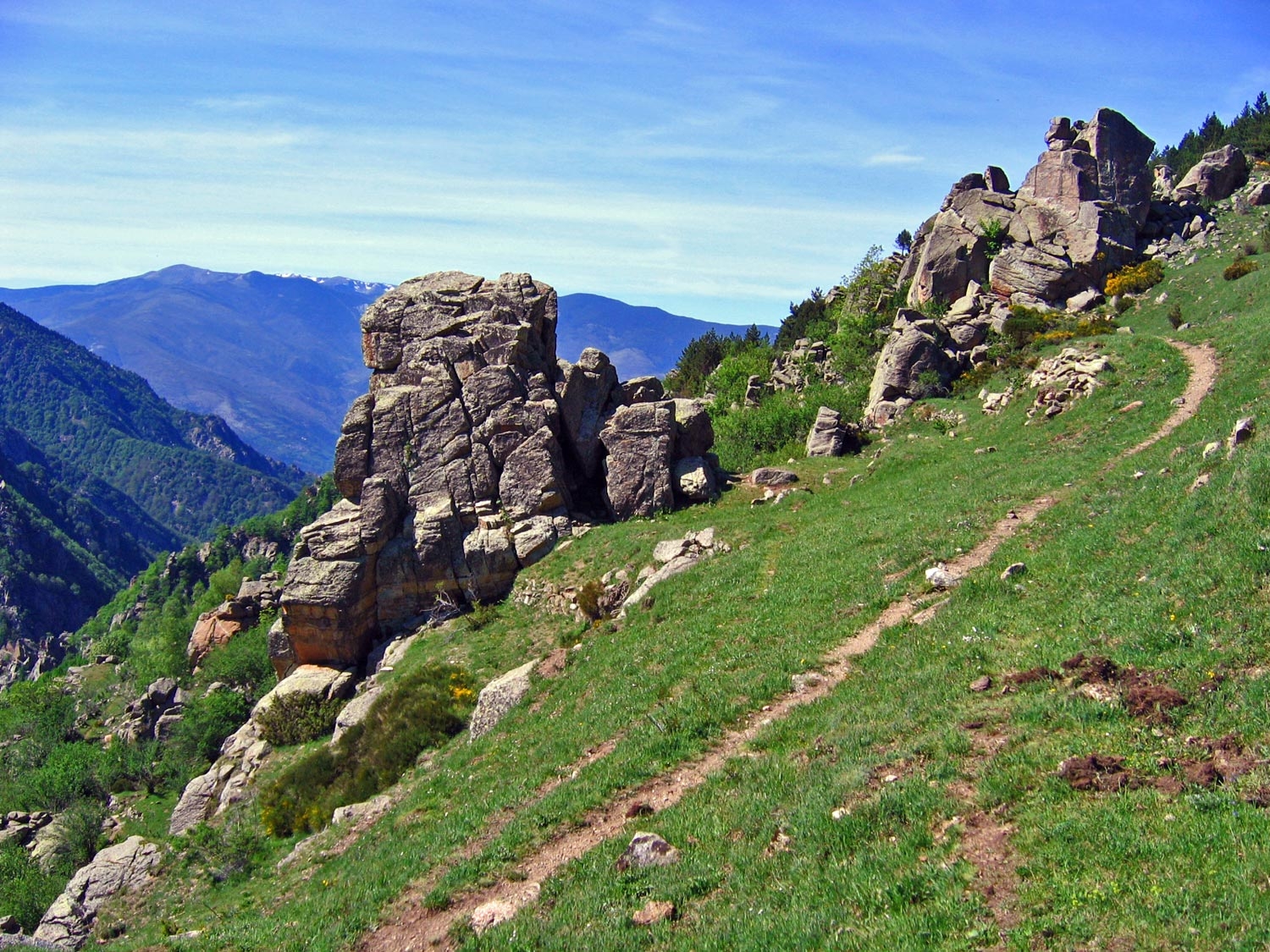
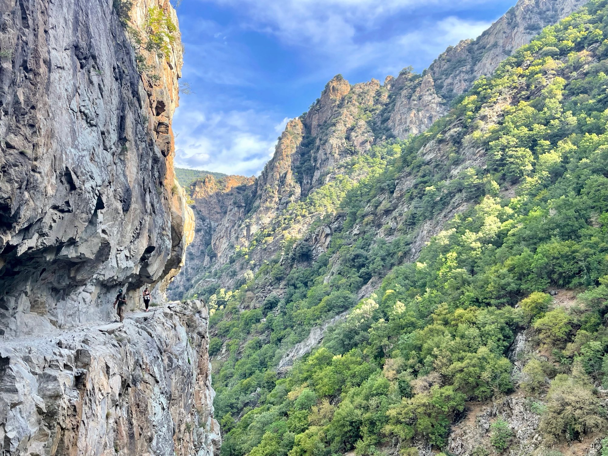
Superb hike between gorges and mountains. Rocks, footbridges and ledges guarantee a change of scenery.
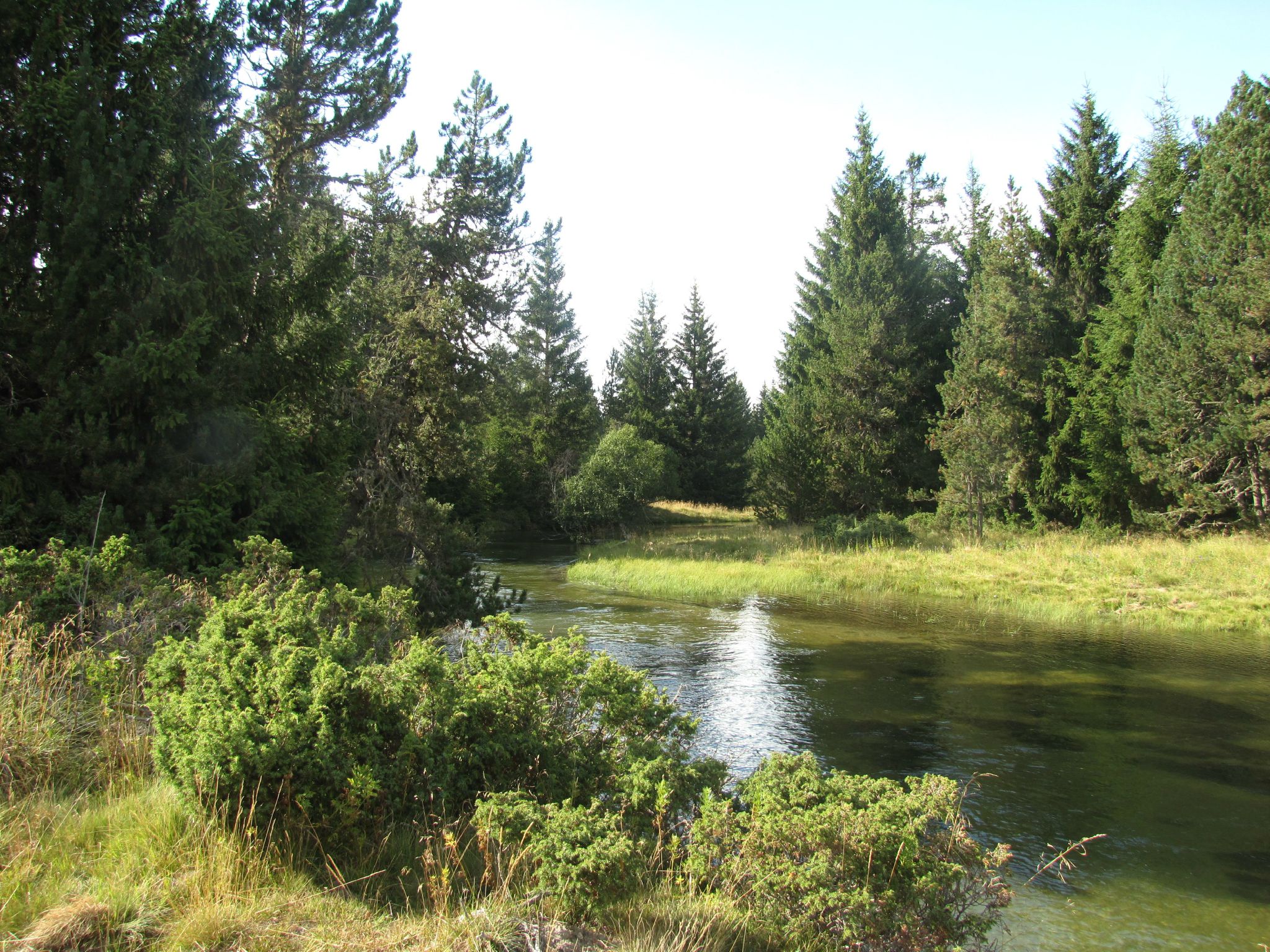
Halfway through, it is possible to extend the outing by about an hour by going to the Ras de la Carança refuge, located in the heart of a pretty valley.
This circuit is demanding, and not recommended for people prone to vertigo.

Already more than 200,000 users!
Uphill
1176m
Highest point
1819m
Downhill
1176m
Lowest point
833m
Route type
Loop
Download the map on your smartphone to save battery and rest assured to always keep access to the route, even without signal.
Includes IGN France and Swisstopo.
3 ratings
Très belle randonnée, dans un environnement très dépaysant et agréable
Super rando ! Très ludique grâce aux nombreuses échelles, passerelles, et autres aménagements qui permettent de découvrir les gorges.
Peut-être pas idéal pour quelqu’un de sujet aux vertiges.
Also enjoy:

Already more than 200,000 users!