Uphill
569m
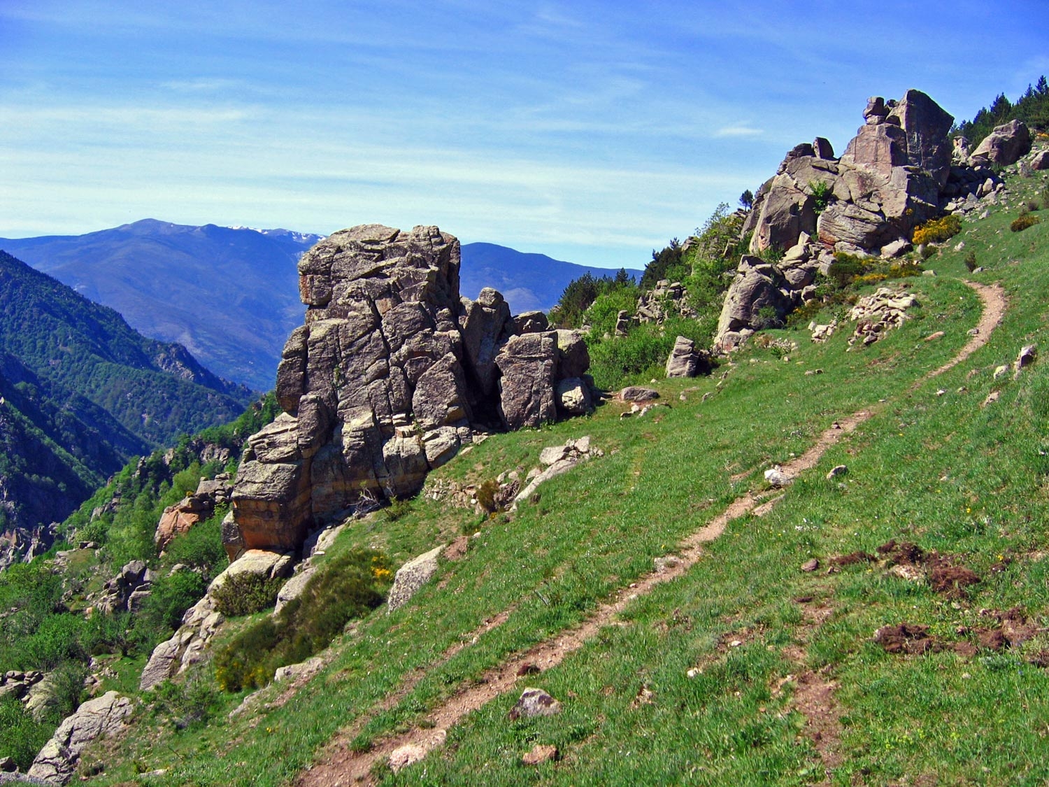
France > Occitanie > Pyrénées-Orientales > Catalan Pyrenees Regional Natural Park
Length
8km
Duration
4h
Elev gain
569m
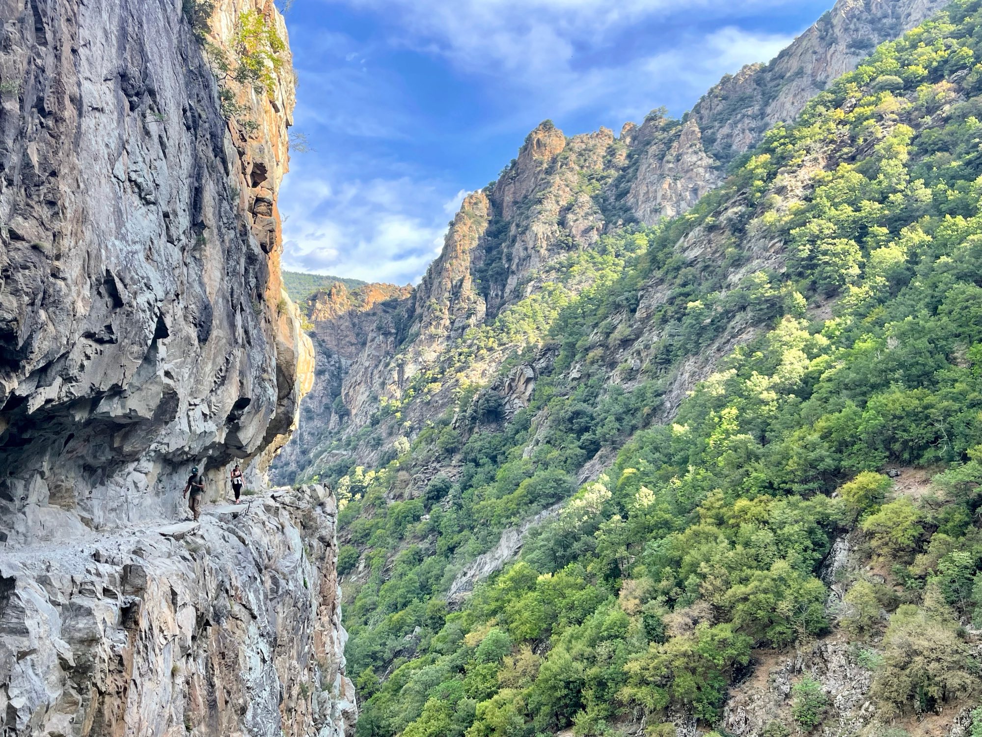
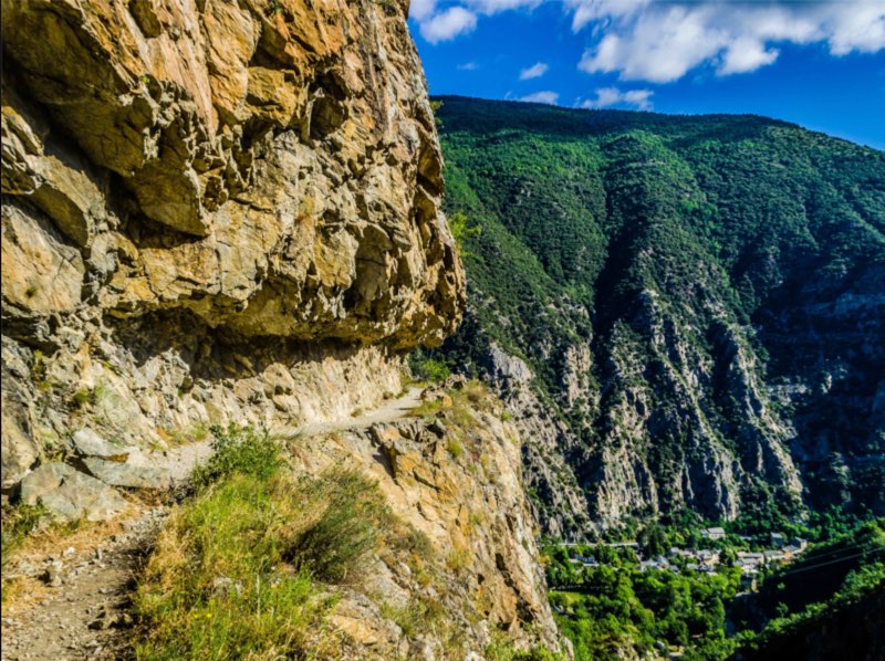
Magnificent landscapes in a original setting, made of cornices, walkways and monkey bridges.
The way back starts after reaching the stone bridge, but a longer version of this hike is also available.
Note that this trail is demanding, and not recommended for people prone to vertigo.

Already more than 200,000 users!
Uphill
569m
Highest point
1158m
Downhill
569m
Lowest point
828m
Route type
Loop
Download the map on your smartphone to save battery and rest assured to always keep access to the route, even without signal.
Includes IGN France and Swisstopo.
3 ratings
Super randonnée très ludique grâce aux échelles , passerelles et ponts. Déconseillé pour les personnes sujettes au vertige.
Also enjoy:

Already more than 200,000 users!