Uphill
447m
France > Occitanie > Pyrénées-Orientales > Catalan Pyrenees Regional Natural Park
Length
5km
Duration
3h
Elev gain
447m
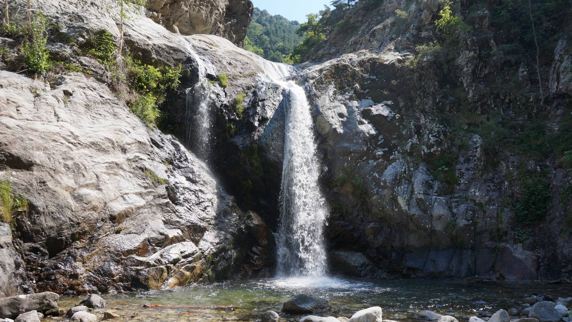
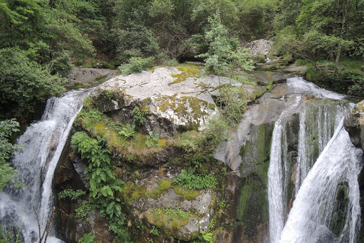
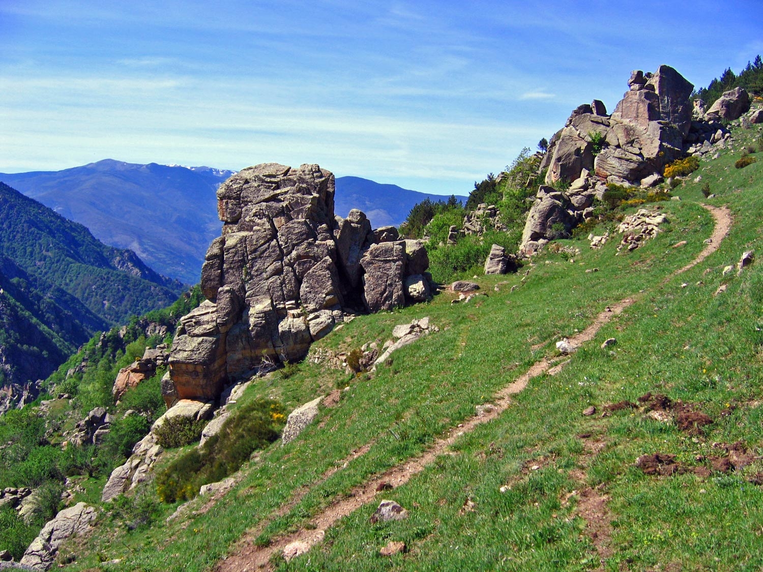
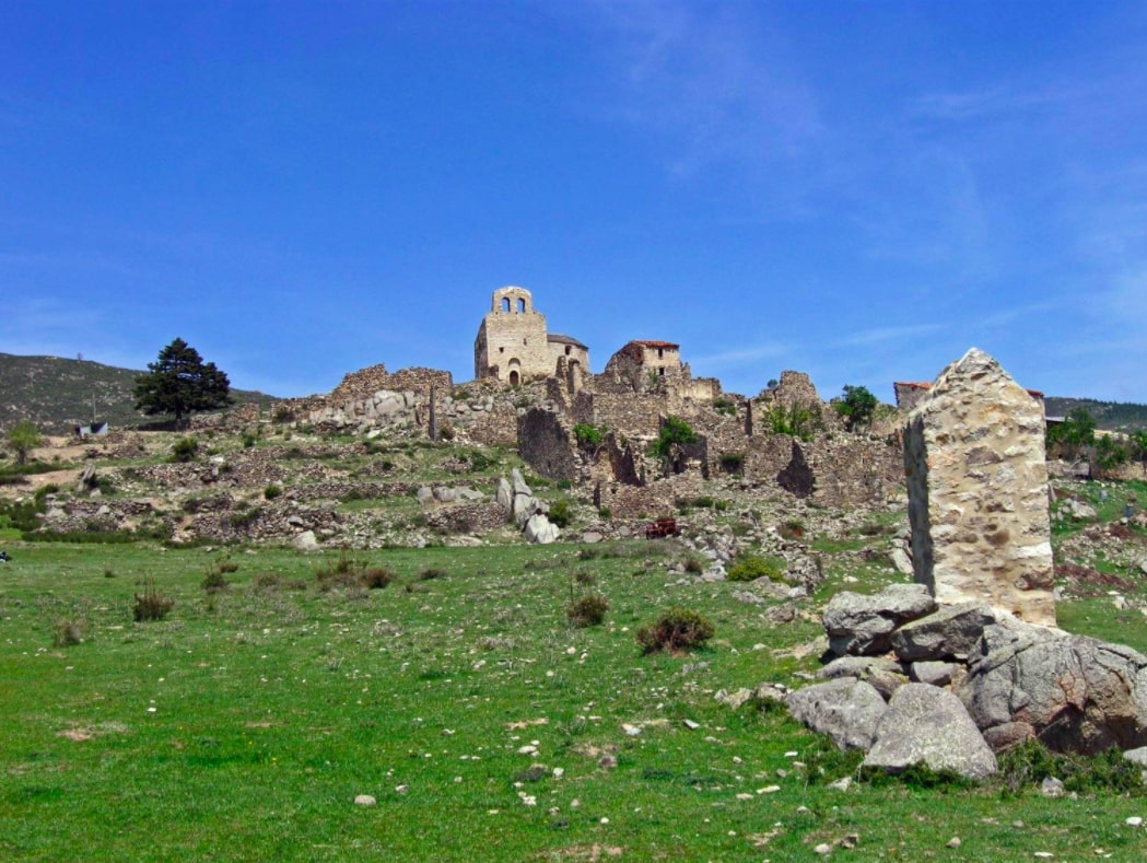
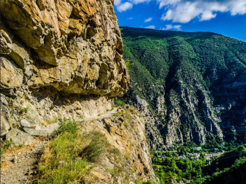
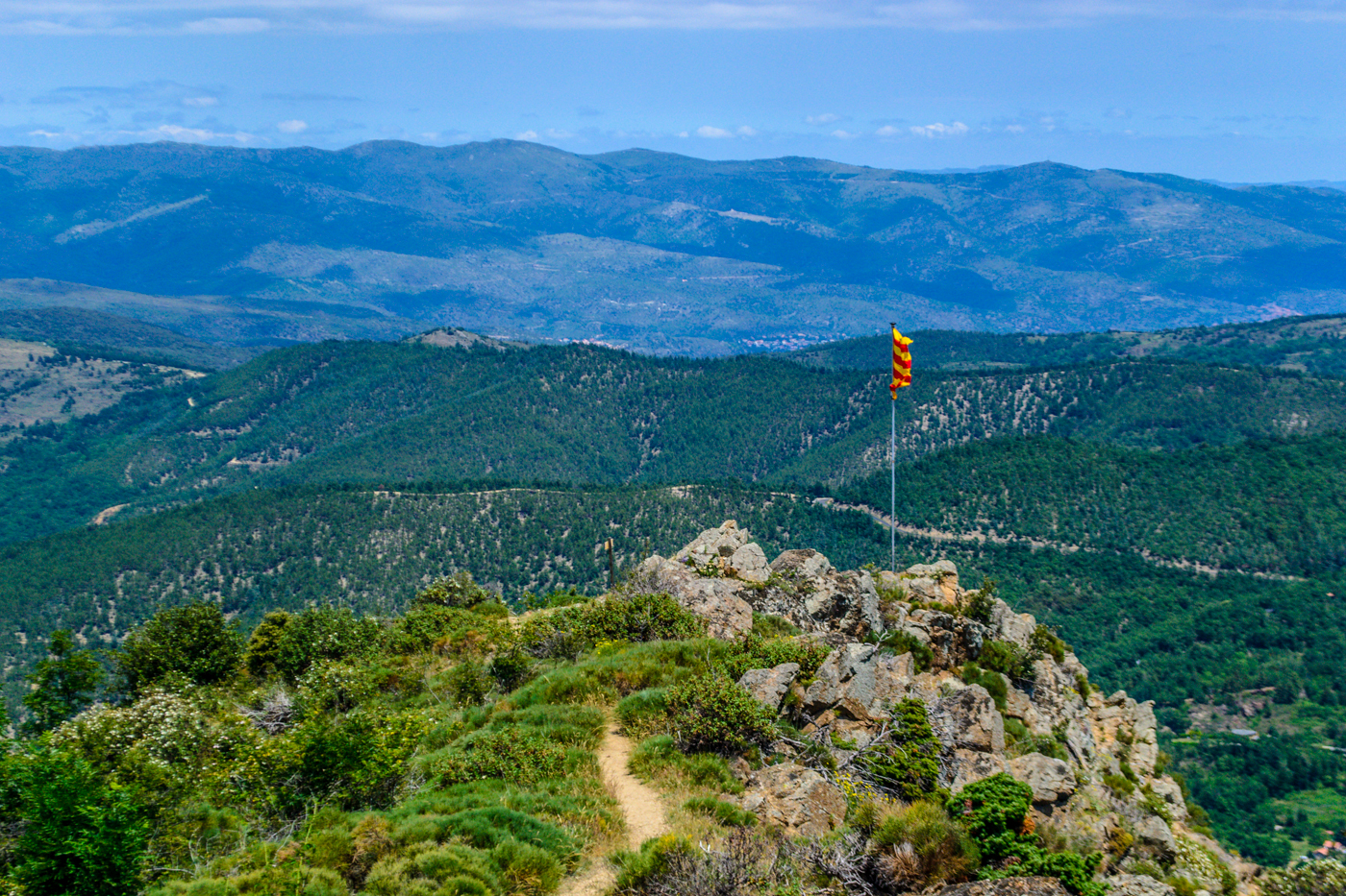
Beautiful hike that climbs to the Falguerosa peak, at 1,126 meters, passing by the Pena peak. Nice panorama over Vernet and the surrounding valleys.

Already more than 200,000 users!
Uphill
447m
Highest point
1104m
Downhill
447m
Lowest point
651m
Route type
Loop
Download the map on your smartphone to save battery and rest assured to always keep access to the route, even without signal.
Includes IGN France and Swisstopo.
I indicate whether dogs are allowed or prohibited on this trail
All year
0 ratings
Also enjoy:

Already more than 200,000 users!