Uphill
536m
Length
11km
Duration
4h
Elev gain
536m
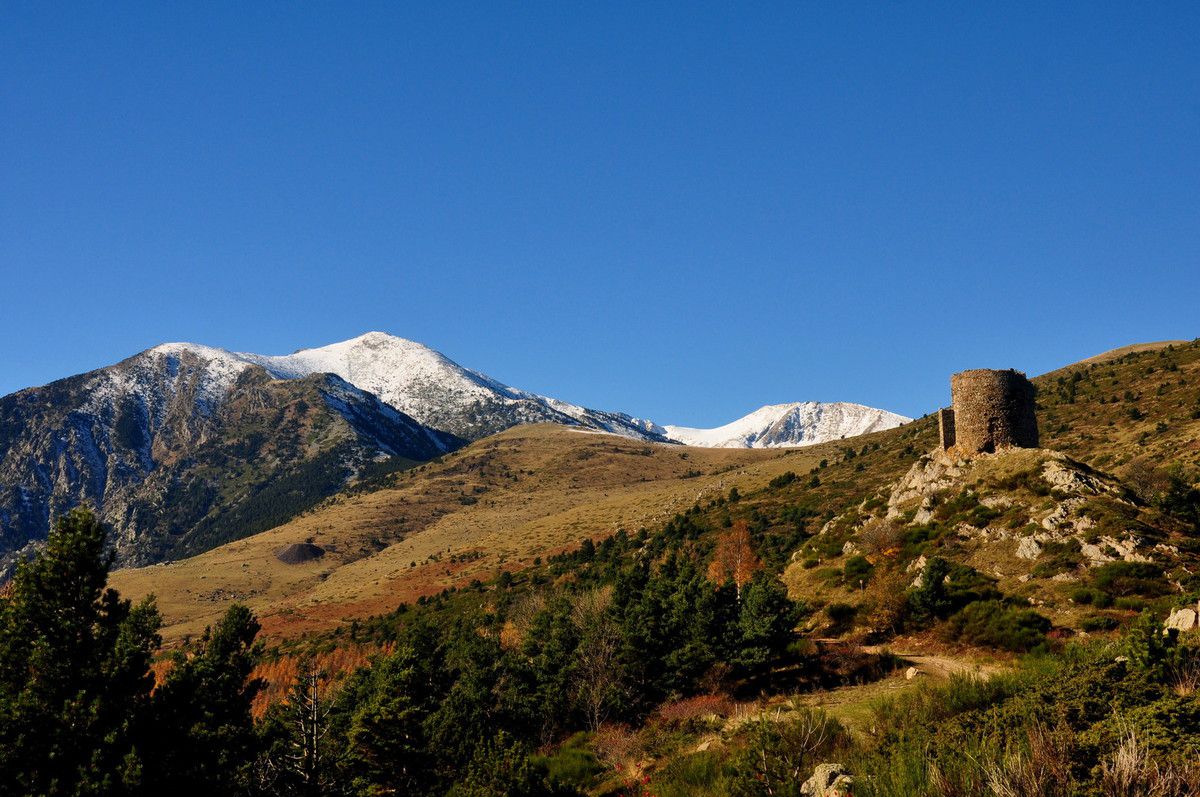
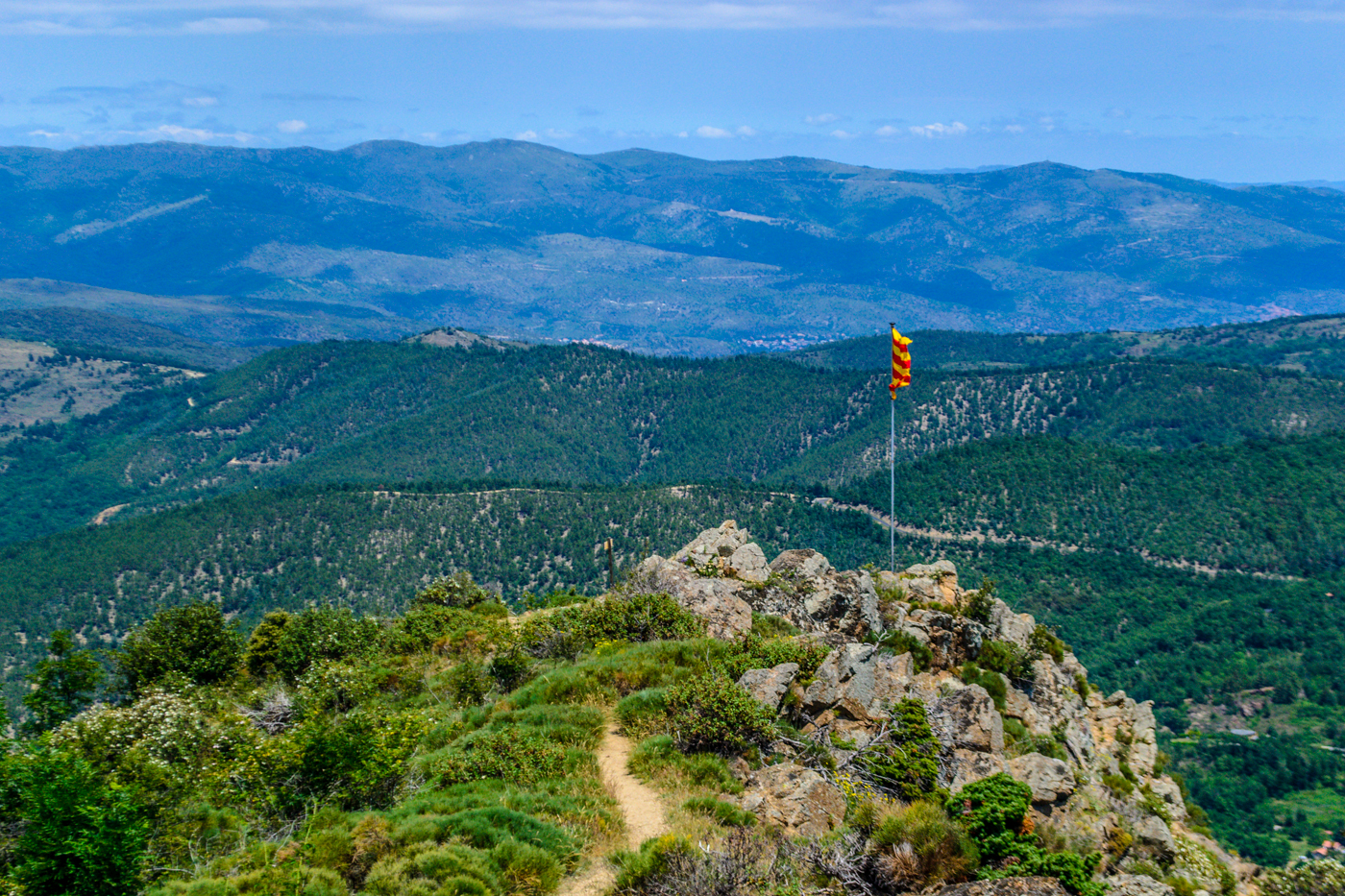
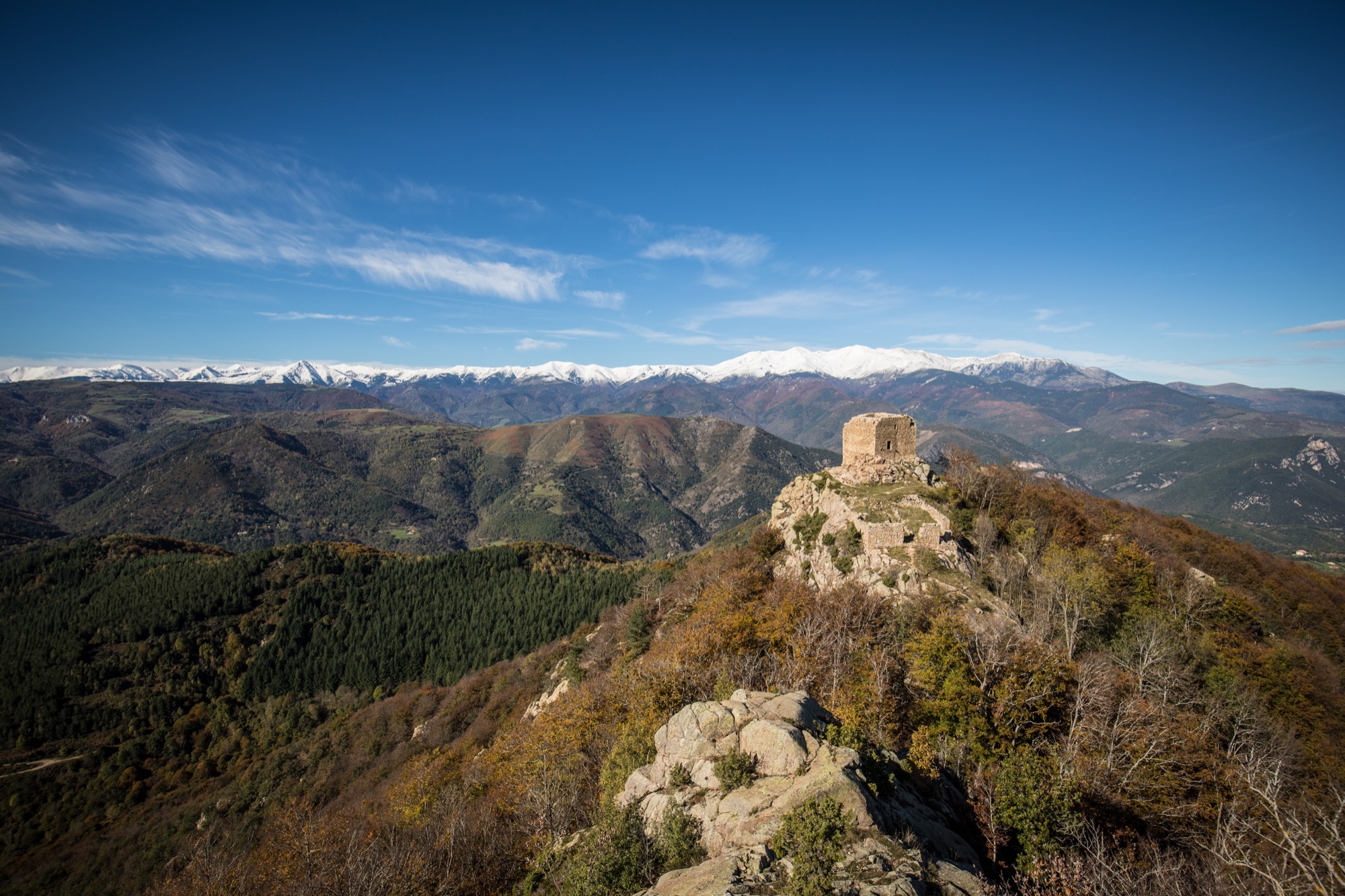
This beautiful hike leads to the towers of Cabrens, or Cabrenç, a medieval castle in ruins located on a rocky outcrop.
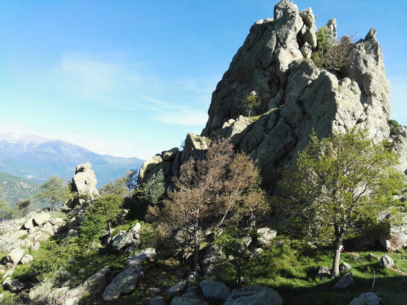
After a climb in the undergrowth, the path leads to the towers and offers beautiful views of the Canigó.

Already more than 200,000 users!
Uphill
536m
Highest point
1301m
Downhill
536m
Lowest point
770m
Route type
Loop
Download the map on your smartphone to save battery and rest assured to always keep access to the route, even without signal.
Includes IGN France and Swisstopo.
I indicate whether dogs are allowed or prohibited on this trail
Can be difficult in Winter
0 ratings
Also enjoy:

Already more than 200,000 users!