Uphill
177m
Length
10km
Duration
3h
Elev gain
177m
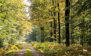
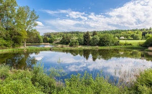
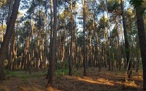
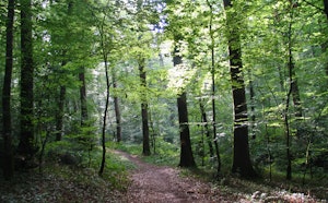
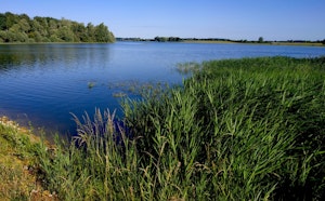
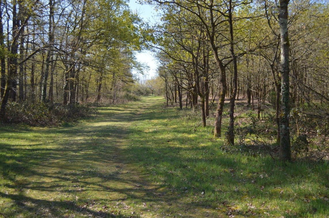
Pleasant walk around the town of Aubigné-Racan, birthplace of the poet Racan. The route alternates between undergrowth and fields, ideal for a breath of fresh air in nature.

Already more than 200,000 users!
Uphill
177m
Highest point
144m
Downhill
177m
Lowest point
42m
Route type
Loop
Download the map on your smartphone to save battery and rest assured to always keep access to the route, even without signal.
Includes IGN France and Swisstopo.
I indicate whether dogs are allowed or prohibited on this trail
All year
0 ratings
Also enjoy:

Already more than 200,000 users!