Uphill
631m
Length
10km
Duration
4h30min
Elev gain
631m
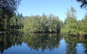
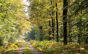
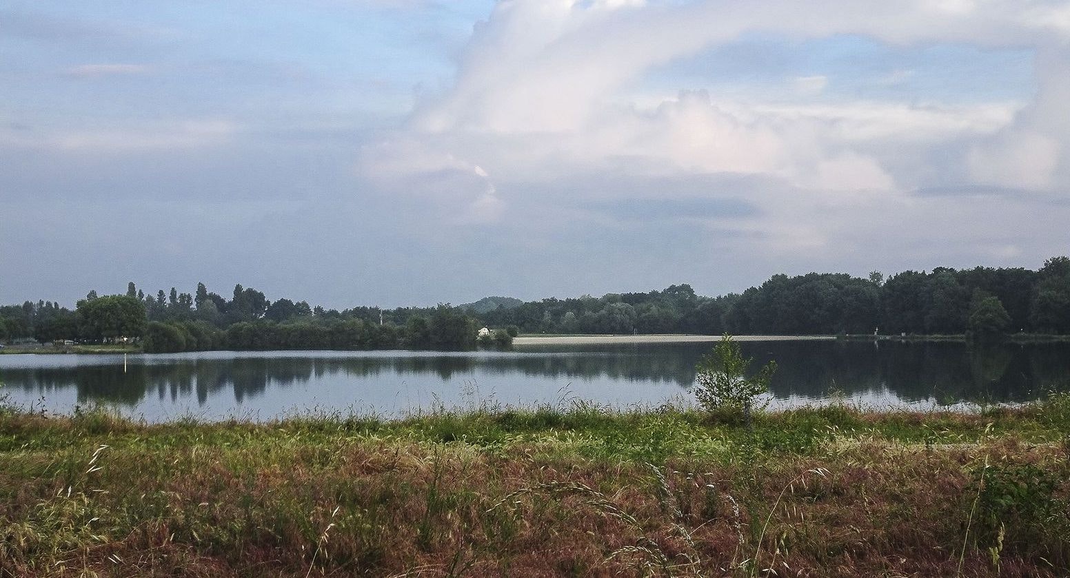
Sports hike along the Sarthe, in Allonnes. The route leads to Lac de la Gèmerie and takes place in a very pleasant setting.

Already more than 200,000 users!
Uphill
631m
Highest point
126m
Downhill
631m
Lowest point
0m
Route type
Loop
Download the map on your smartphone to save battery and rest assured to always keep access to the route, even without signal.
Includes IGN France and Swisstopo.
I indicate whether dogs are allowed or prohibited on this trail
All year
0 ratings
Also enjoy:

Already more than 200,000 users!