Uphill
441m
Length
12km
Duration
4h
Elev gain
441m
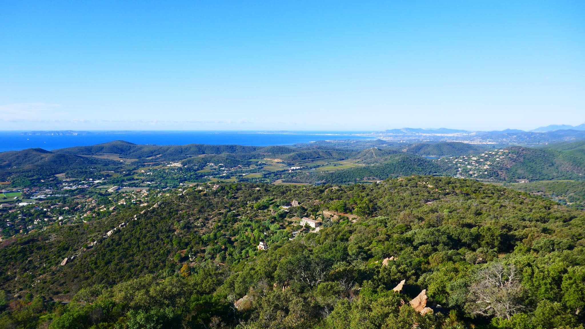
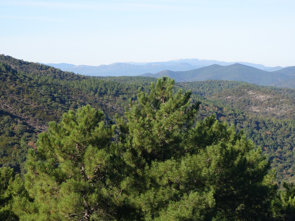
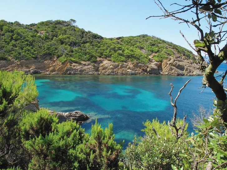
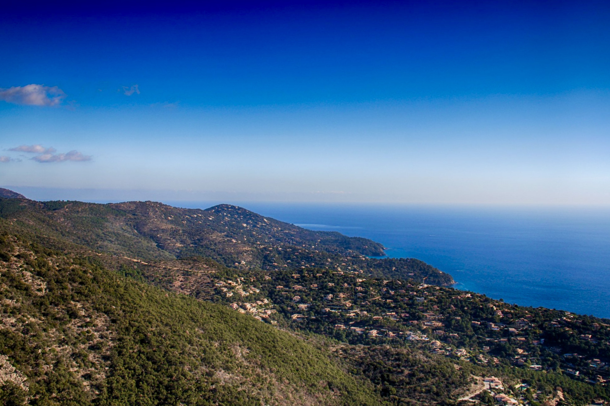
Departing from Cavalière, this is a fairly rocky and steep path that winds through beautiful Mediterranean vegetation. The view of the sea and the Hyères islands rewards your efforts.
However, it should be noted that this hike has several passages on asphalt road.

Already more than 200,000 users!
Uphill
441m
Highest point
451m
Downhill
441m
Lowest point
7m
Route type
Loop
Download the map on your smartphone to save battery and rest assured to always keep access to the route, even without signal.
Includes IGN France and Swisstopo.
I indicate whether dogs are allowed or prohibited on this trail
All year
0 ratings
Also enjoy:

Already more than 200,000 users!