Uphill
458m
France > Provence-Alpes-Côte d'Azur > Var > Port-Cros National Park
Length
14km
Duration
4h30min
Elev gain
458m
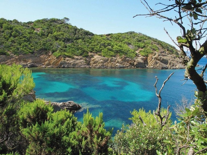
The tour of the island of Port-Cros offers cliffs, magnificent views of the sea and possible swimming. All in a fully preserved and wooded setting, accessible only by boat.
One of our favorites on the Côte d'Azur.

Already more than 200,000 users!
Uphill
458m
Highest point
190m
Downhill
458m
Lowest point
0m
Route type
Loop
Download the map on your smartphone to save battery and rest assured to always keep access to the route, even without signal.
Includes IGN France and Swisstopo.
2 ratings
Ma balade préférée sur la côte d’Azur ! Un petit trajet de ferry et hop, dépaysement garanti sur cette île restée sauvage. Des pins maritimes, du relief, des petites criques, d’impressionnantes falaises sur la côte sud… Un régal pour une sortie à la journée.
Also enjoy:

Already more than 200,000 users!


