Uphill
334m
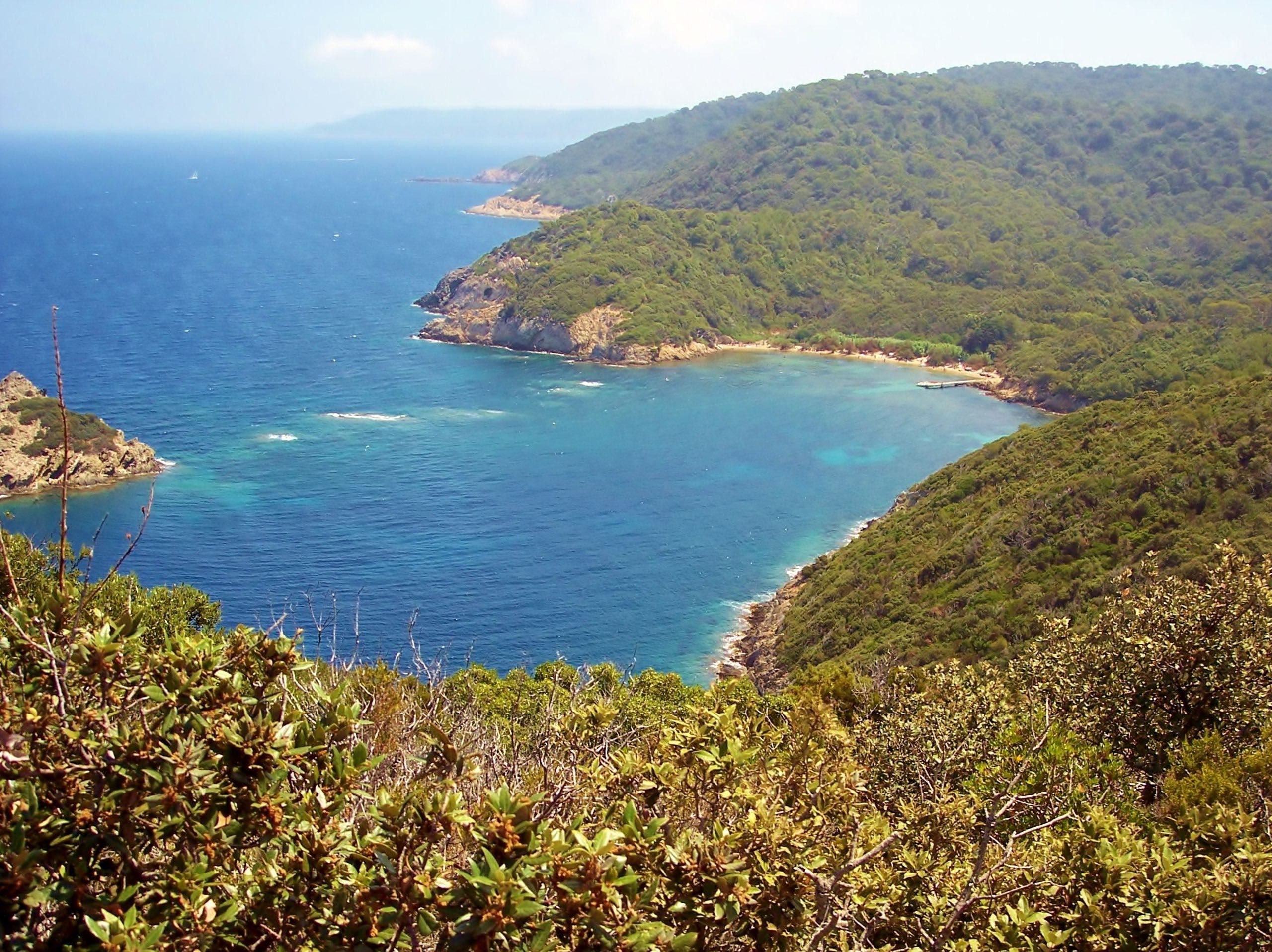
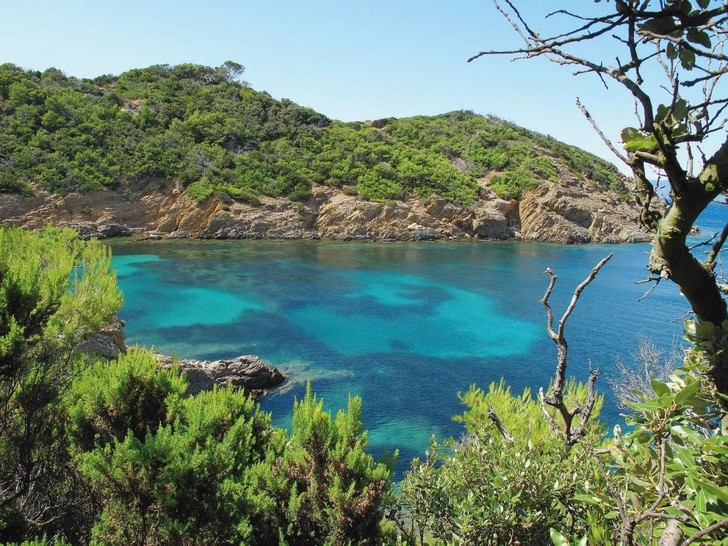
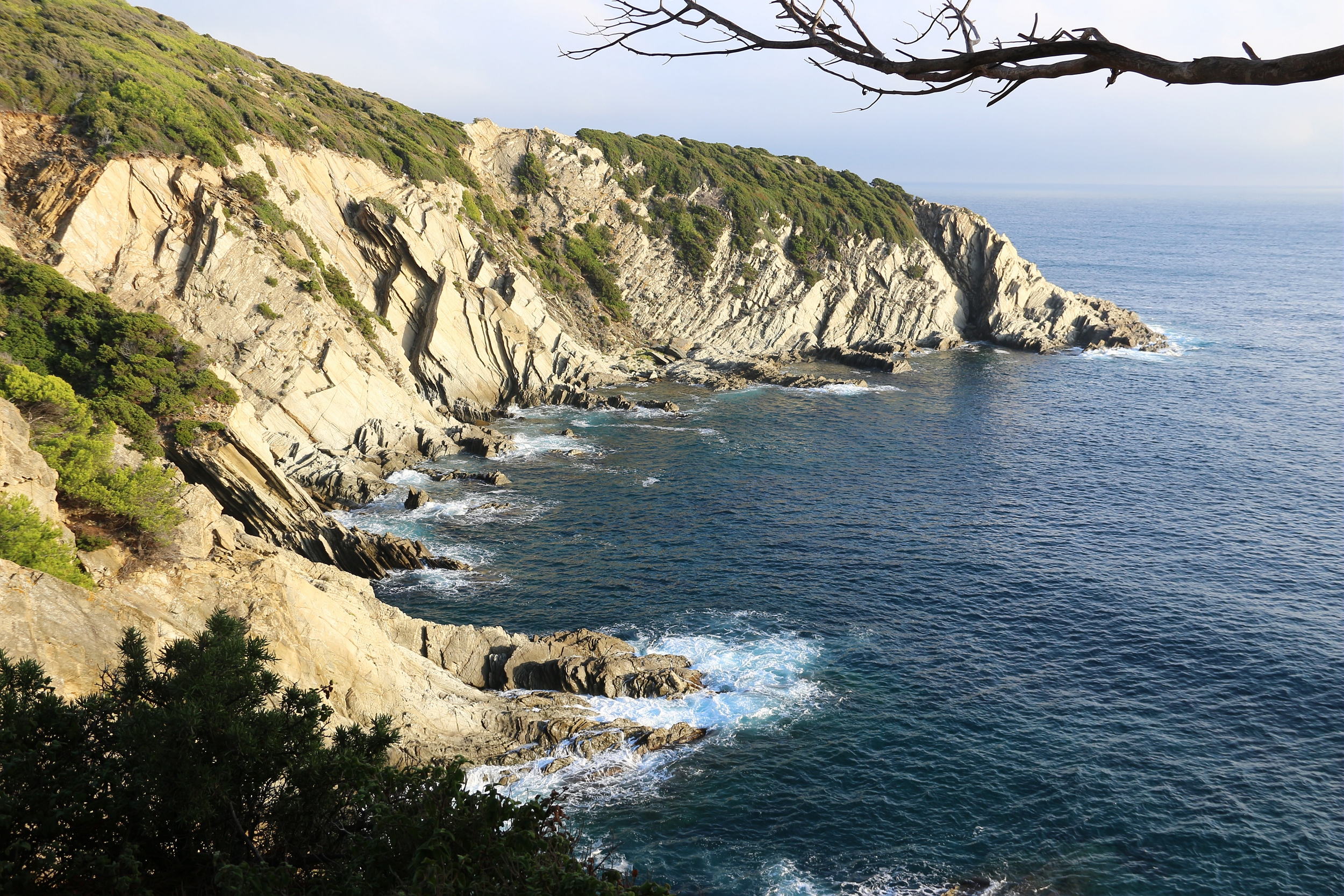
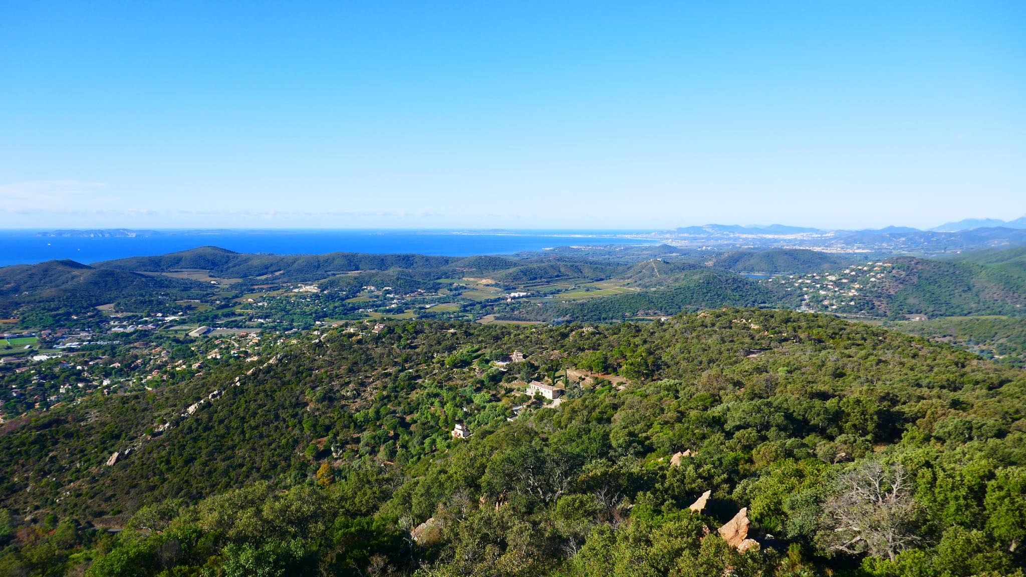
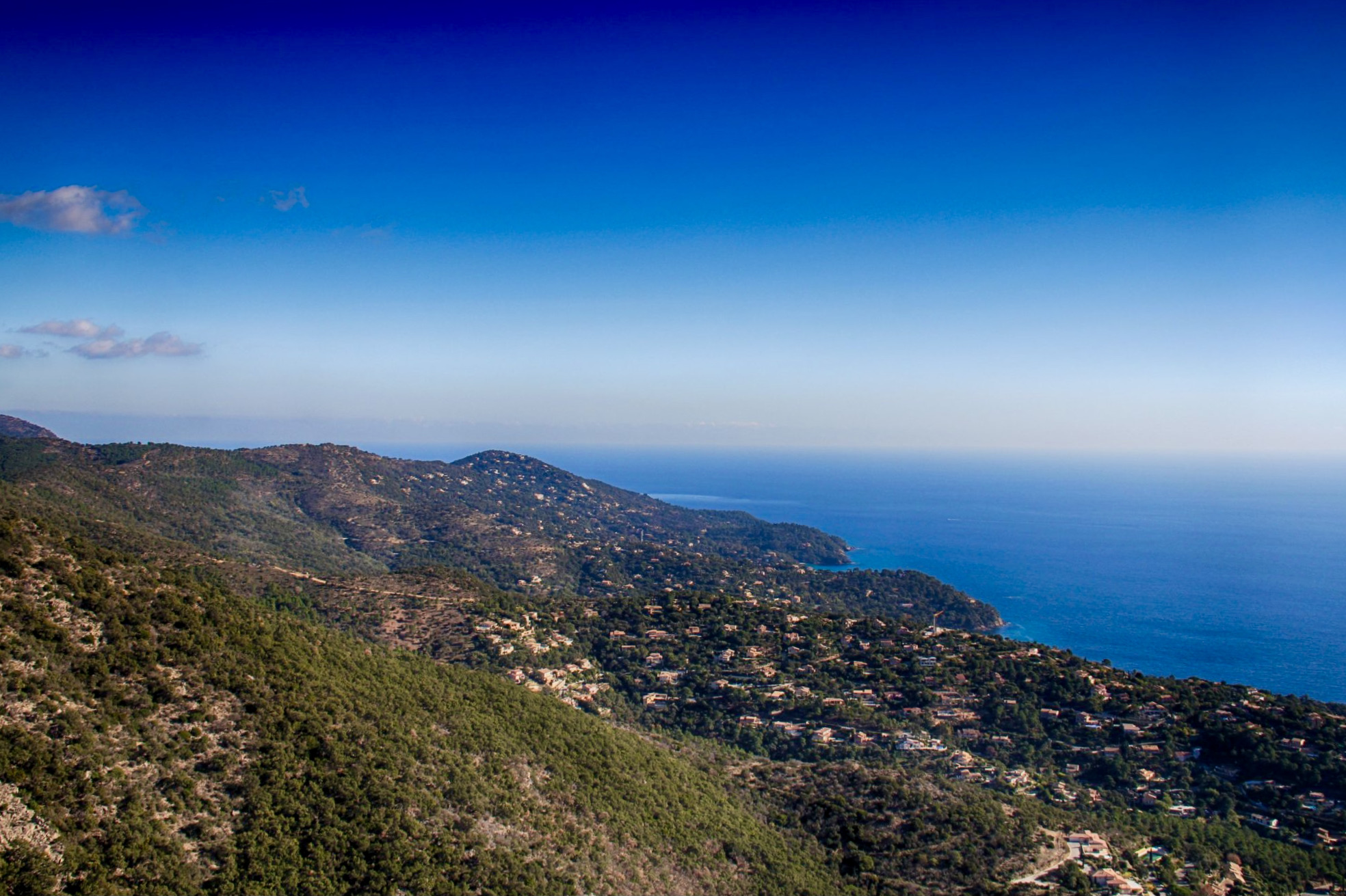
France > Provence-Alpes-Côte d'Azur > Var > Port-Cros National Park
Length
10km
Duration
3h30min
Elev gain
334m
A shorter variant than the tour of Port-Cros, which allows you to take advantage of the less steep parts of the island.

Already more than 200,000 users!
Uphill
334m
Highest point
122m
Downhill
334m
Lowest point
0m
Route type
Loop
Download the map on your smartphone to save battery and rest assured to always keep access to the route, even without signal.
Includes IGN France and Swisstopo.
0 ratings
Also enjoy:

Already more than 200,000 users!