Uphill
717m
Length
16km
Duration
6h
Elev gain
717m
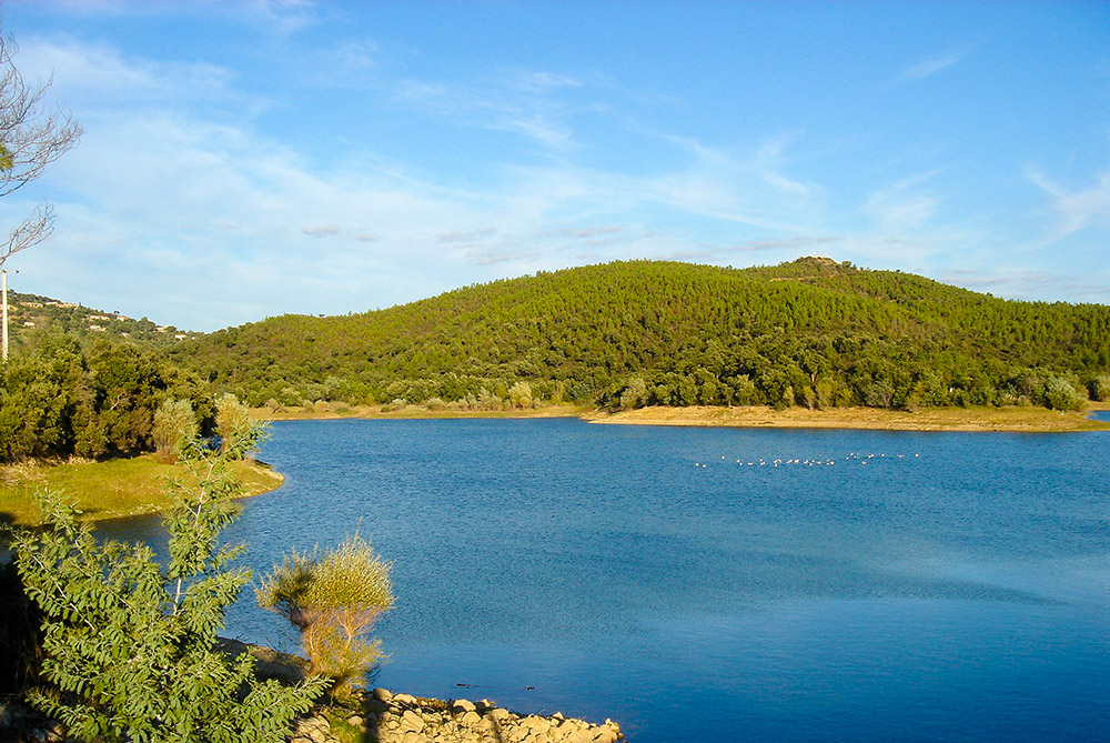
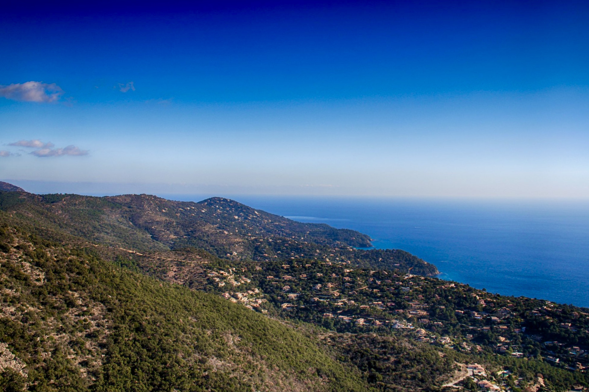
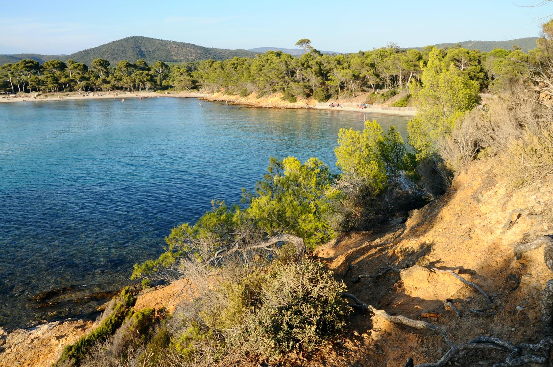
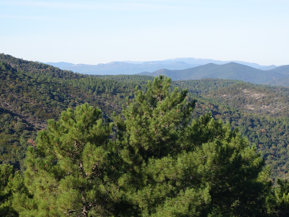
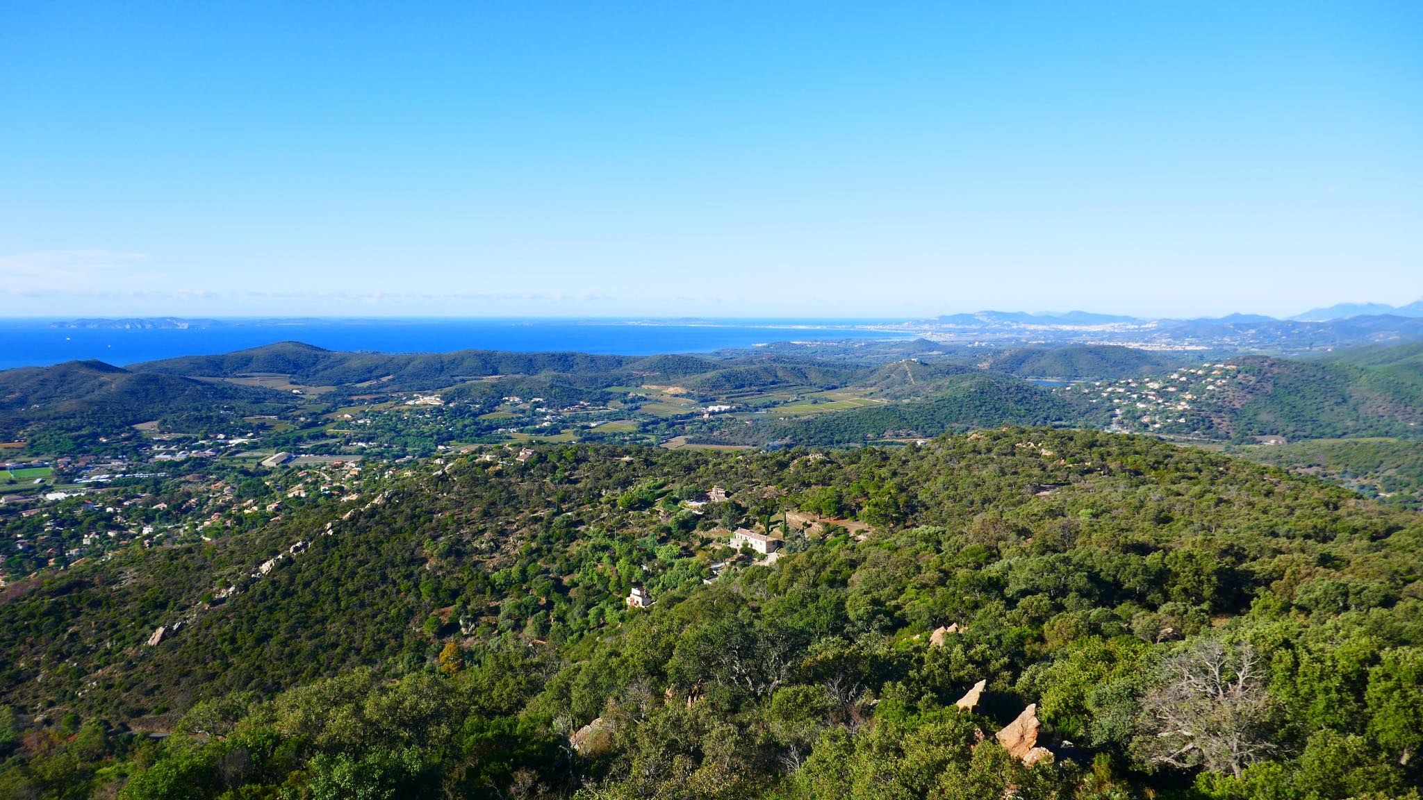
Departing from Bormes-les-Mimosas, the Trois Cols trail is a physical hike, with elevation on rocky ground. The setting in the heart of nature is pleasant, and offers lovely views of the sea.
Note some passages on the road.

Already more than 200,000 users!
Uphill
717m
Highest point
461m
Downhill
717m
Lowest point
65m
Route type
Loop
Download the map on your smartphone to save battery and rest assured to always keep access to the route, even without signal.
Includes IGN France and Swisstopo.
I indicate whether dogs are allowed or prohibited on this trail
All year
0 ratings
Also enjoy:

Already more than 200,000 users!