Uphill
449m
Length
12km
Duration
4h30min
Elev gain
449m
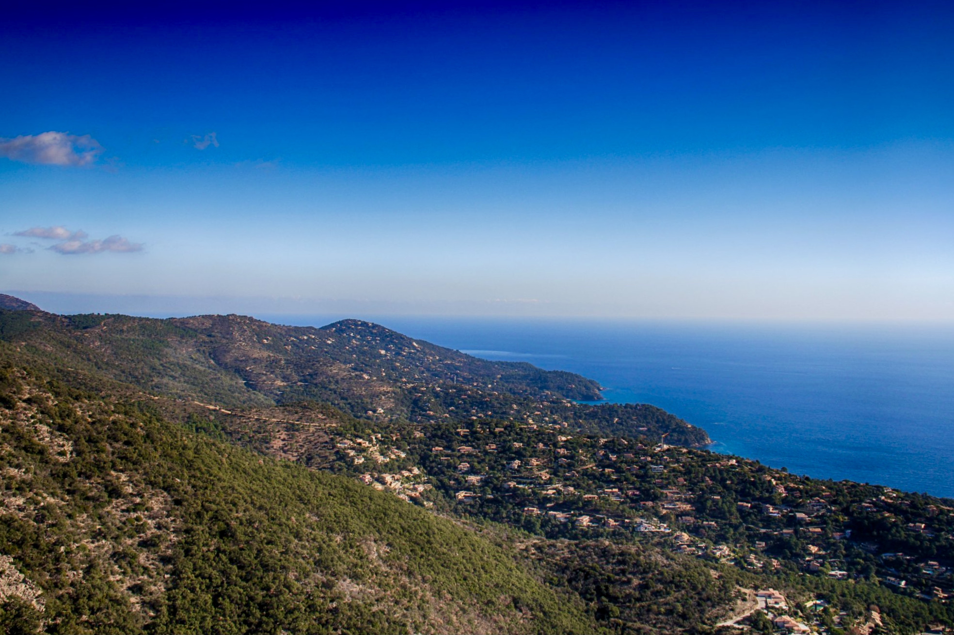
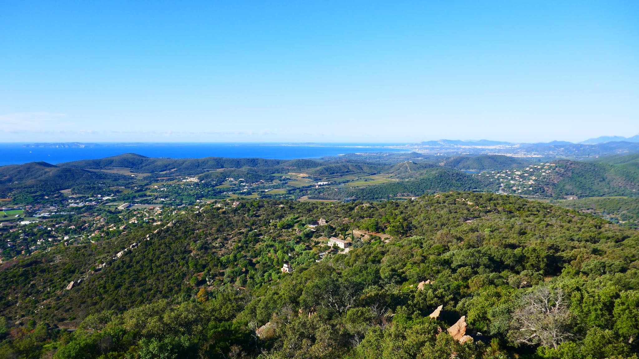
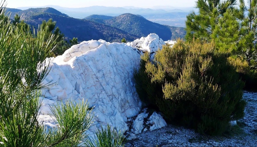
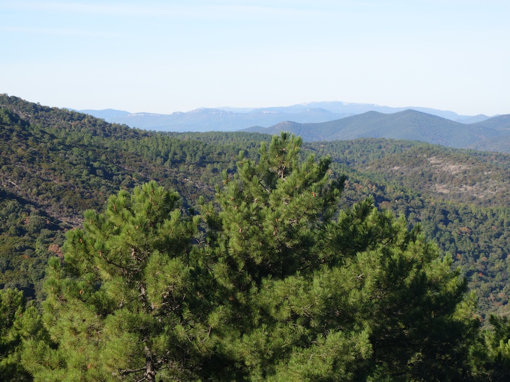
This loop offers lovely views of the Chartreuse de la Verne monastery, in the Maures forest.

Already more than 200,000 users!
Uphill
449m
Highest point
546m
Downhill
449m
Lowest point
232m
Route type
Loop
Download the map on your smartphone to save battery and rest assured to always keep access to the route, even without signal.
Includes IGN France and Swisstopo.
I indicate whether dogs are allowed or prohibited on this trail
All year
1 rating
Jolie balade dans les bois, avec quelques vues sur le monastère.
Also enjoy:

Already more than 200,000 users!