Uphill
291m
Length
9km
Duration
3h
Elev gain
291m
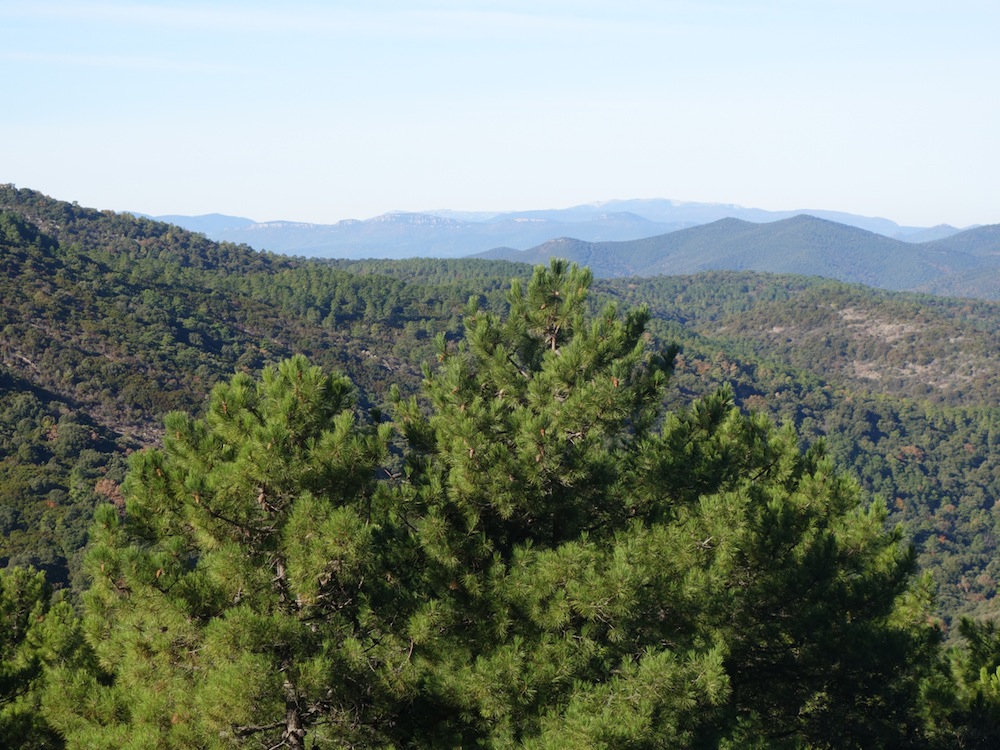
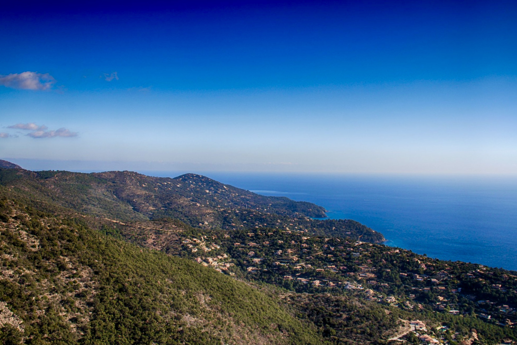
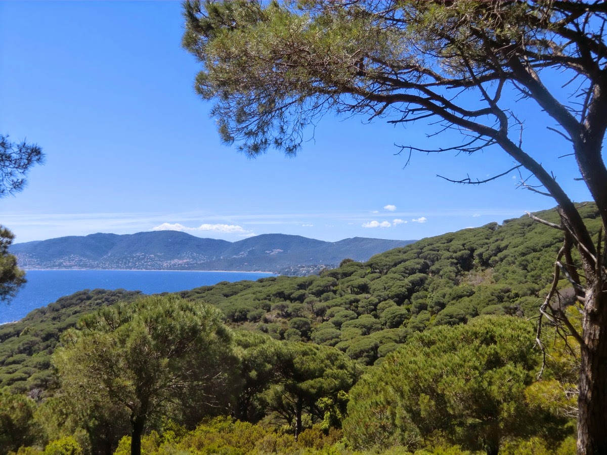
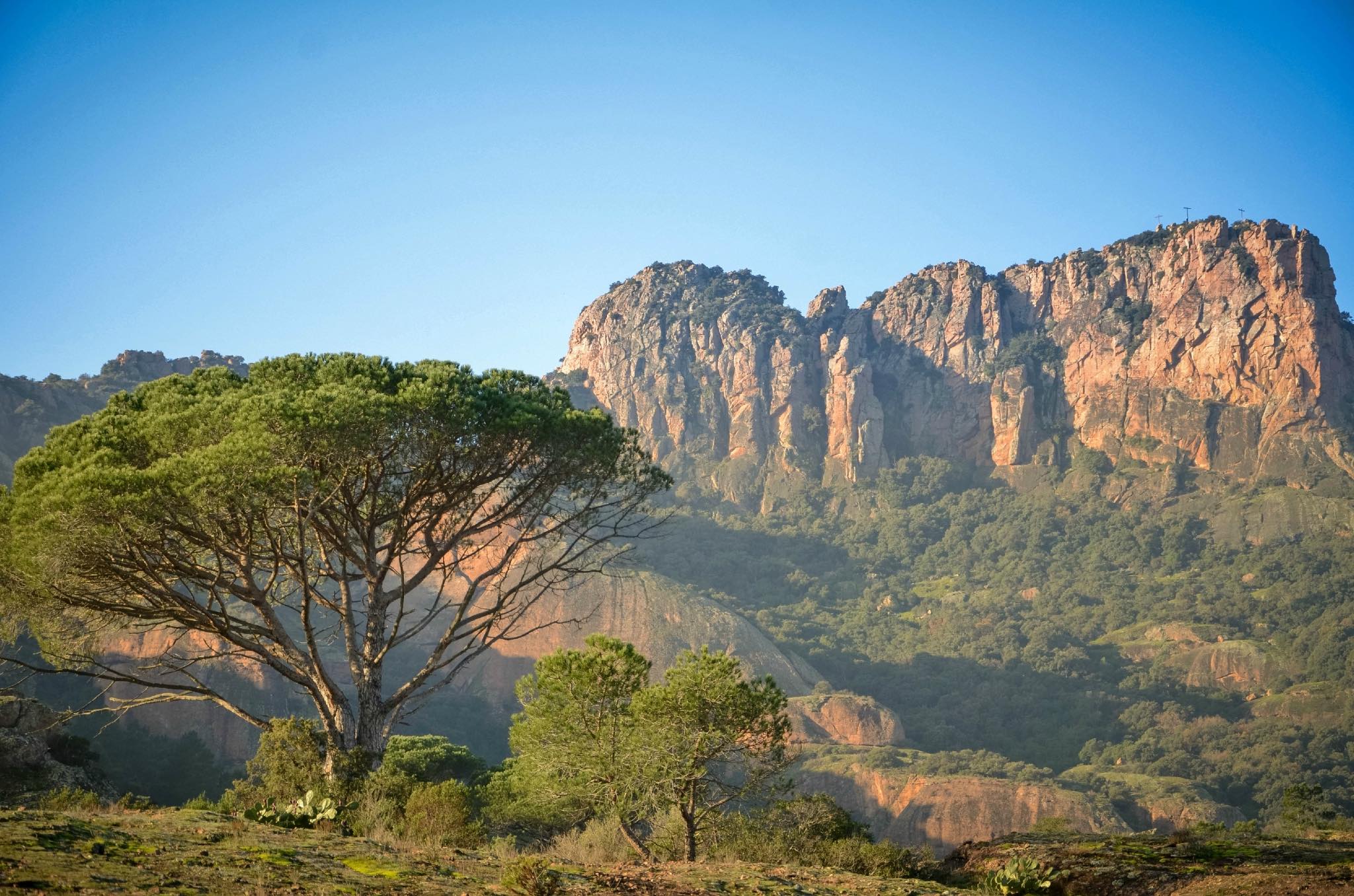
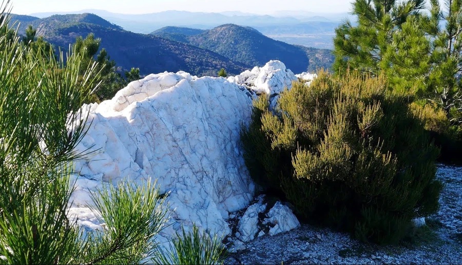
Departing from La Garde-Freinet, this walk begins with a detour via the Croix des Maures and Fort Freinet. The trail then joins a local curiosity, the white rocks, which are made up of sparkling quartz veins emerging from the shale. The panorama over the plain of the Moors and the Gulf of Saint-Tropez is splendid.

Already more than 200,000 users!
Uphill
291m
Highest point
633m
Downhill
291m
Lowest point
404m
Route type
Loop
Download the map on your smartphone to save battery and rest assured to always keep access to the route, even without signal.
Includes IGN France and Swisstopo.
I indicate whether dogs are allowed or prohibited on this trail
All year
4 ratings
Also enjoy:

Already more than 200,000 users!