Uphill
334m
Length
7km
Duration
2h30min
Elev gain
334m
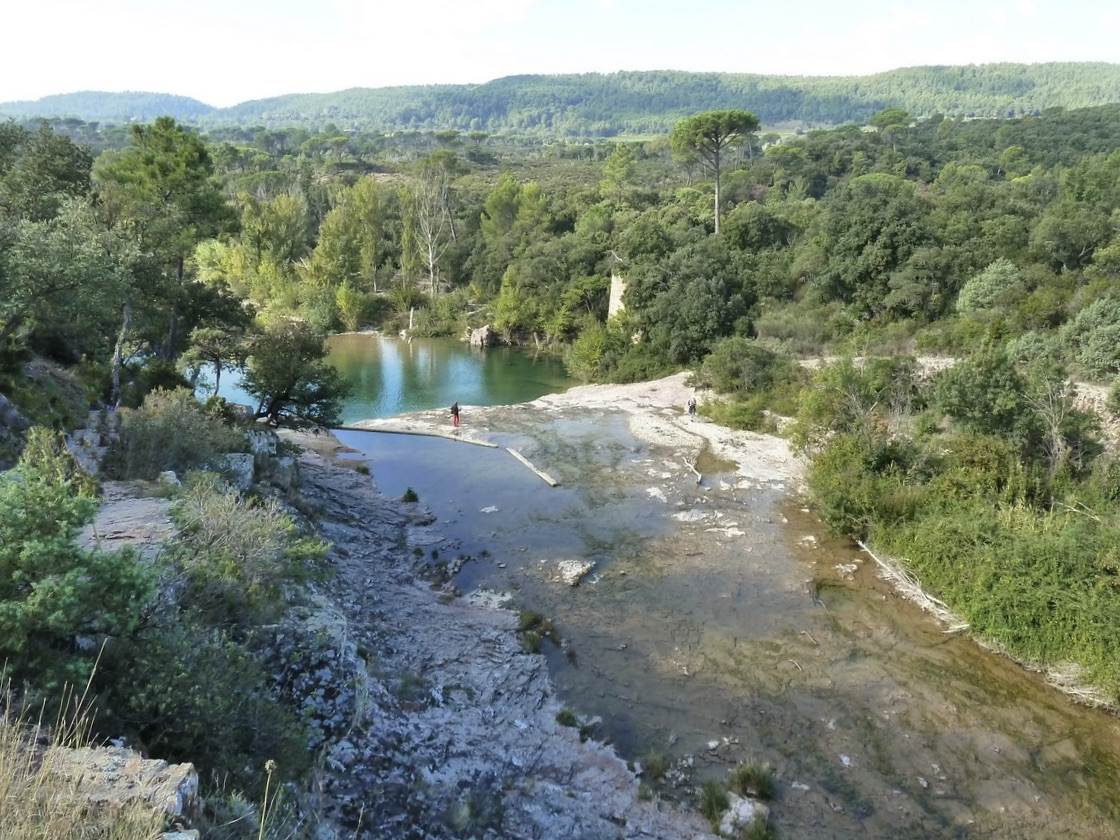
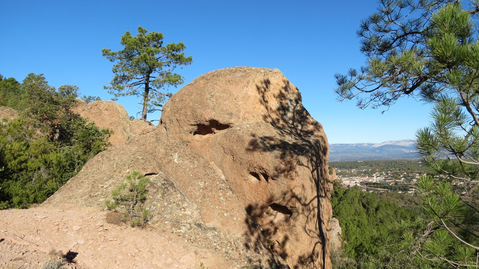
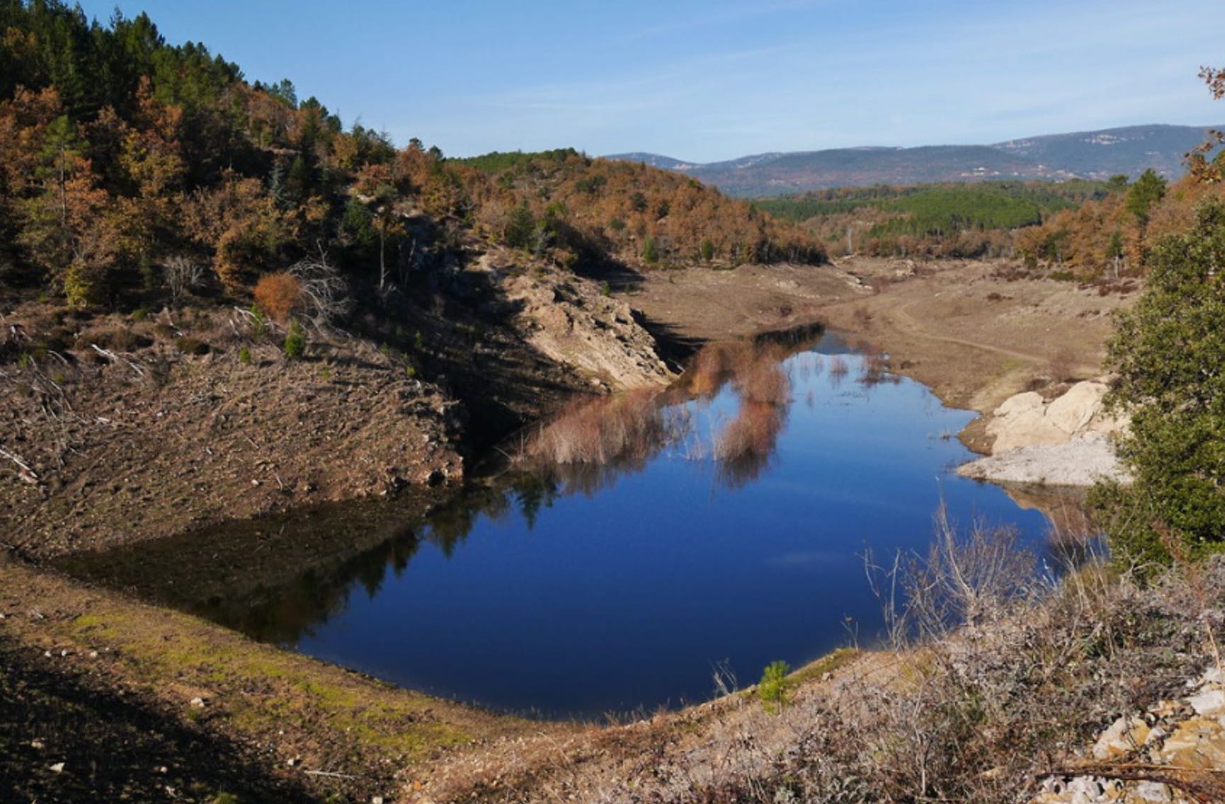
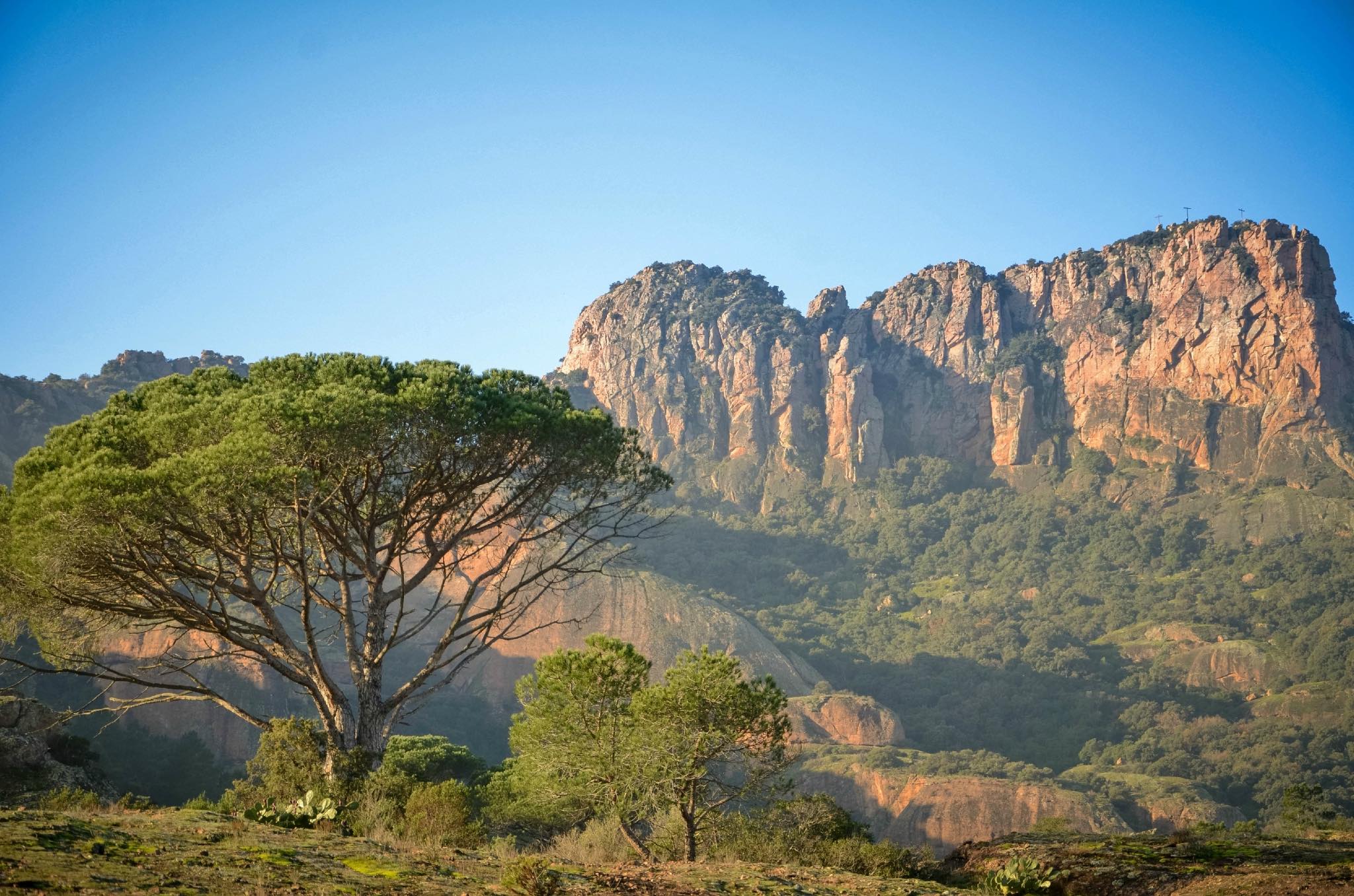
There and back trail to the Trois Croix de Roquebrune, for a panoramic view of the Argens plain. It is a challenging and aerial hike, with cable passages reminiscent of via ferrata.

Already more than 200,000 users!
Uphill
334m
Highest point
346m
Downhill
334m
Lowest point
11m
Route type
There and back
Download the map on your smartphone to save battery and rest assured to always keep access to the route, even without signal.
Includes IGN France and Swisstopo.
I indicate whether dogs are allowed or prohibited on this trail
All year
5 ratings
magnifique vue en haut avec les trois croix
Also enjoy:

Already more than 200,000 users!