Uphill
178m
Length
7km
Duration
2h30min
Elev gain
178m
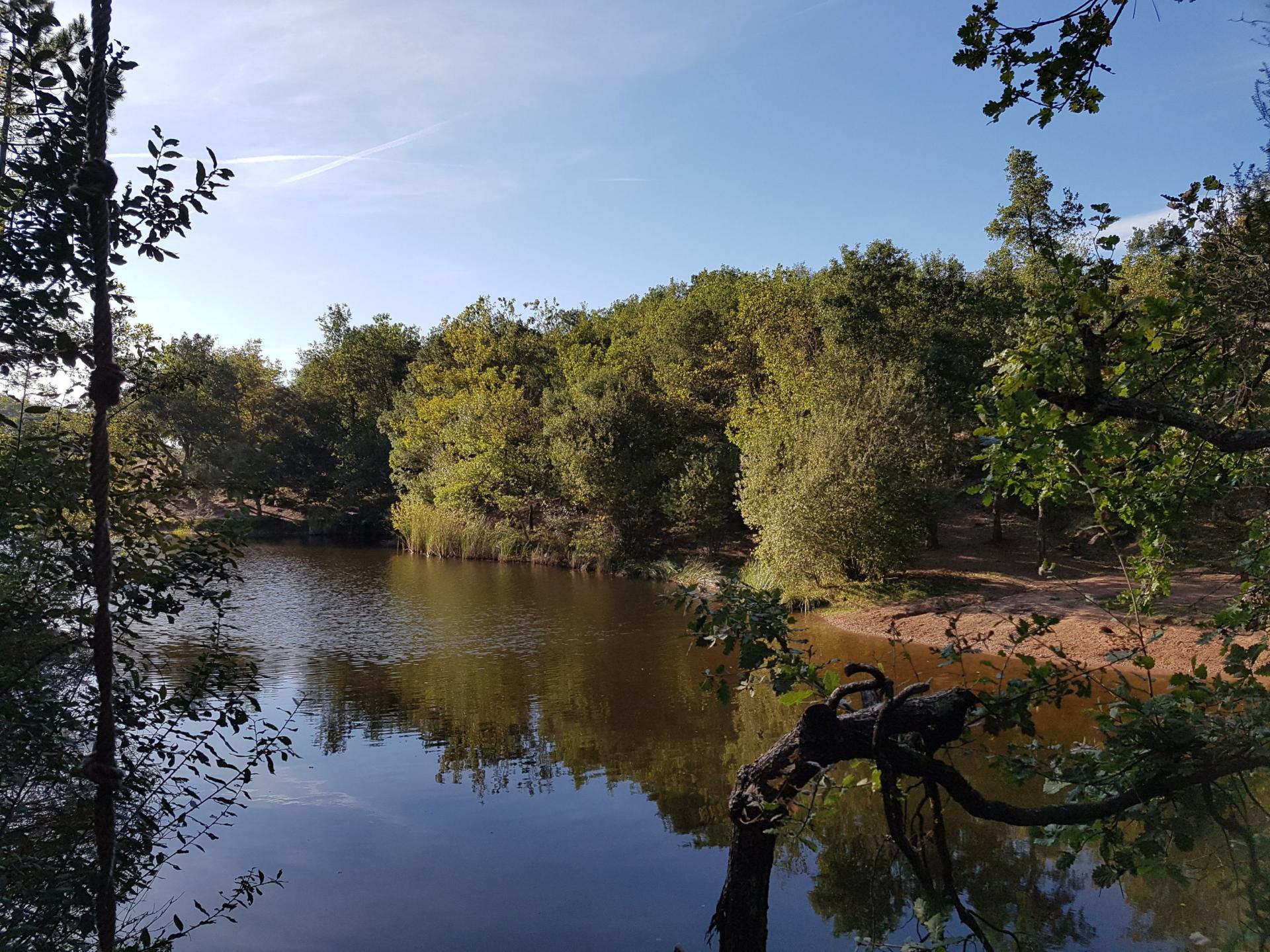
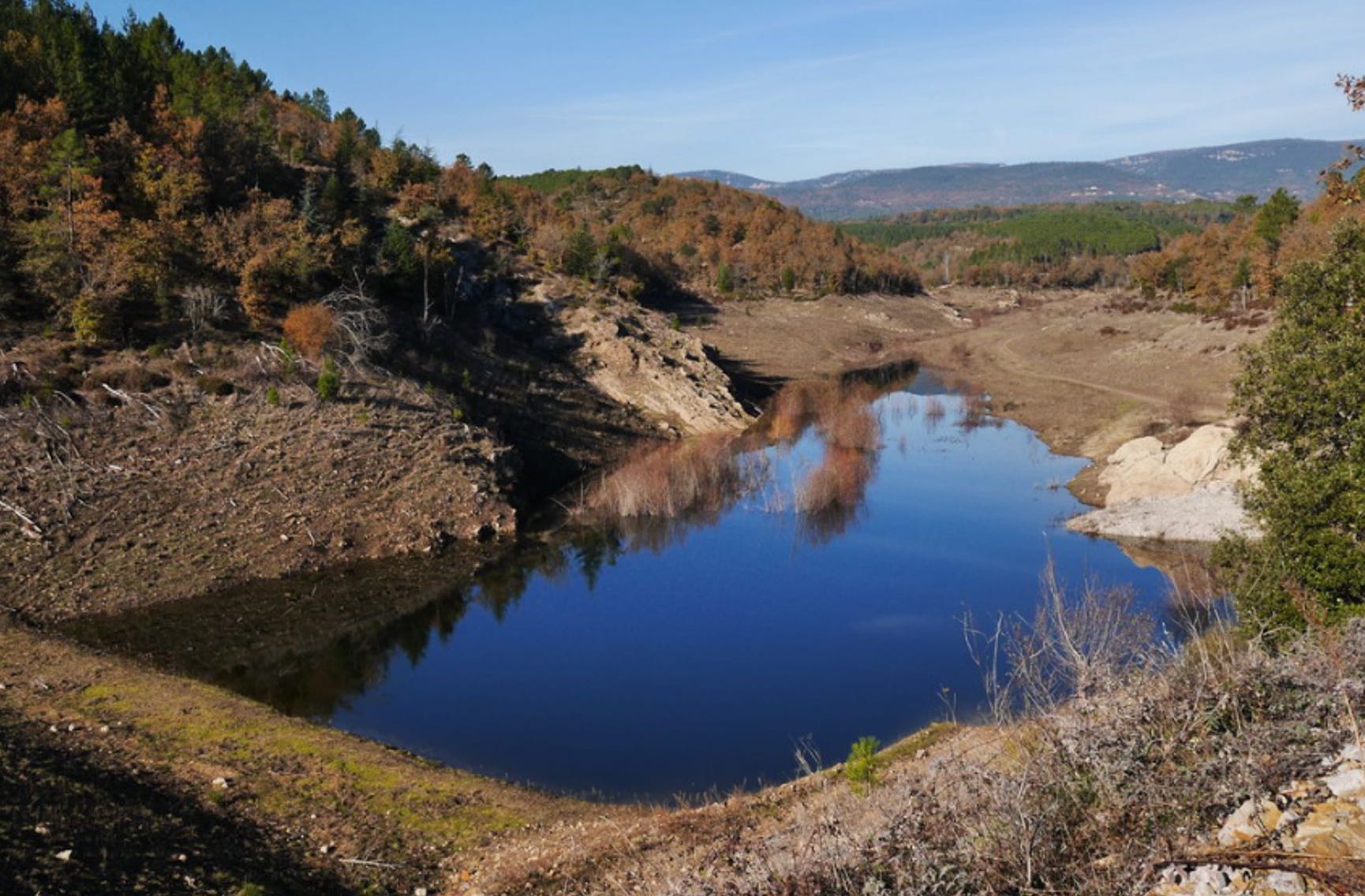
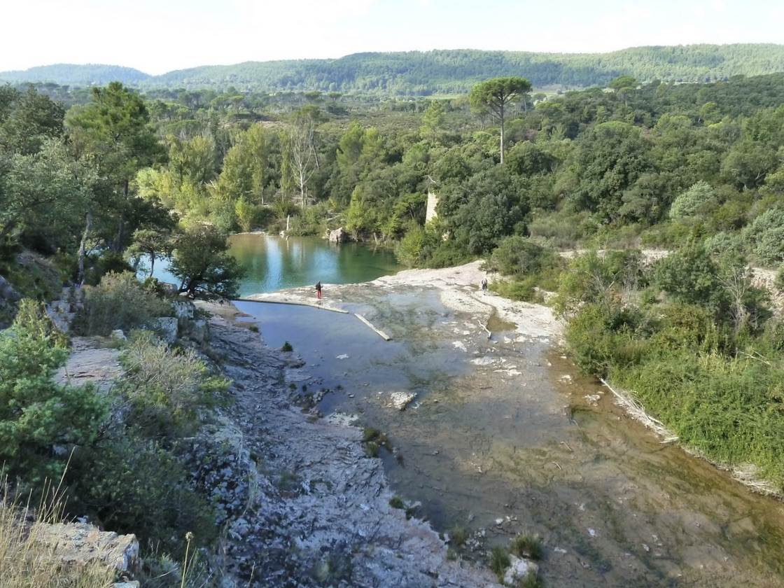
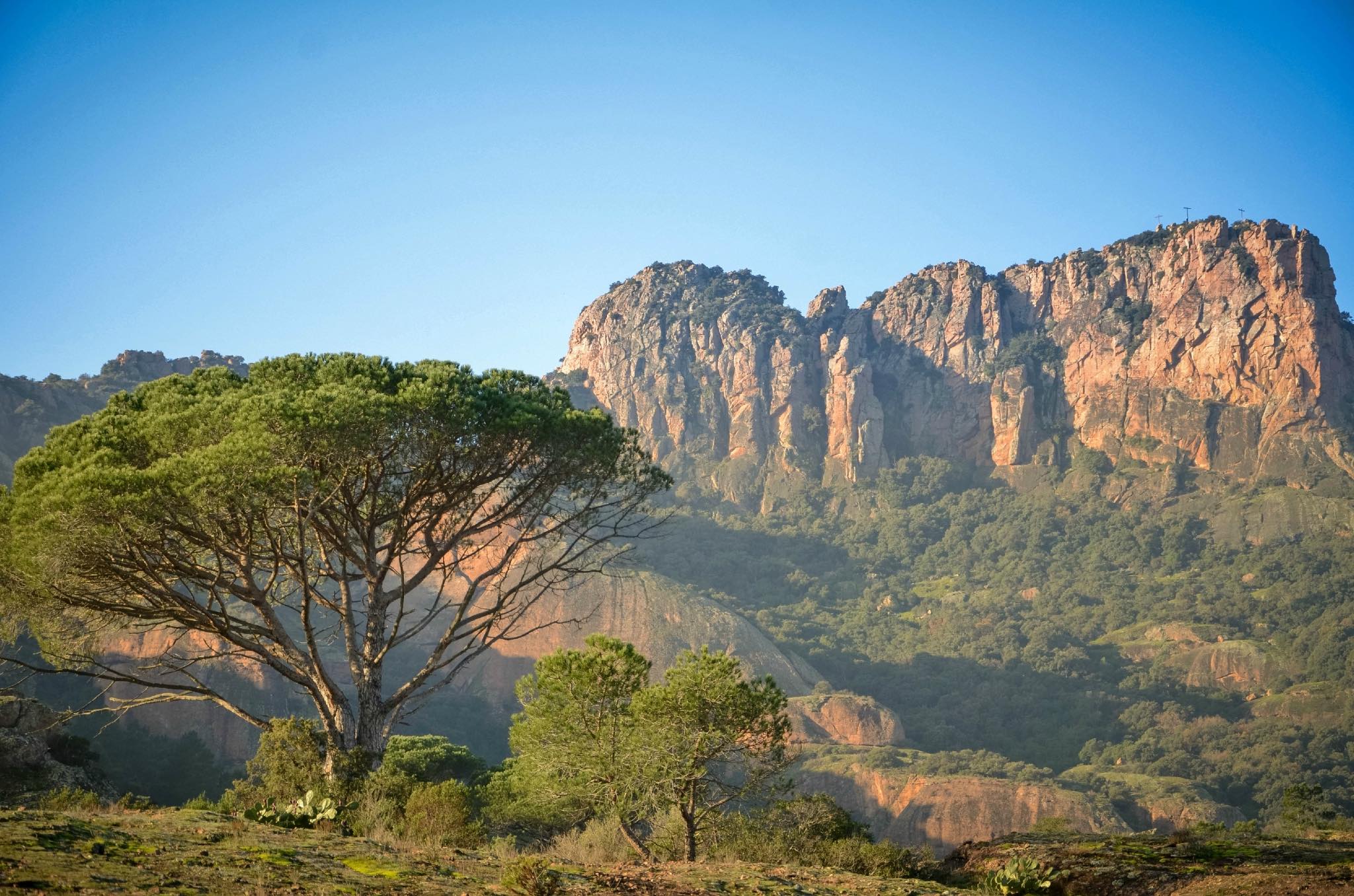
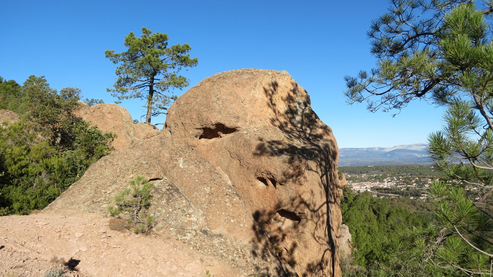
This walk begins on a track exposed to the sun, to be taken in the morning preferably, before arriving to a pretty wooded gorge. Basins of water then constitute an ideal setting for a picnic, before going up to a viewpoint of the gorges.

Already more than 200,000 users!
Uphill
178m
Highest point
253m
Downhill
178m
Lowest point
90m
Route type
Loop
Download the map on your smartphone to save battery and rest assured to always keep access to the route, even without signal.
Includes IGN France and Swisstopo.
I indicate whether dogs are allowed or prohibited on this trail
All year
2 ratings
Also enjoy:

Already more than 200,000 users!