Uphill
241m
Length
9km
Duration
3h
Elev gain
241m
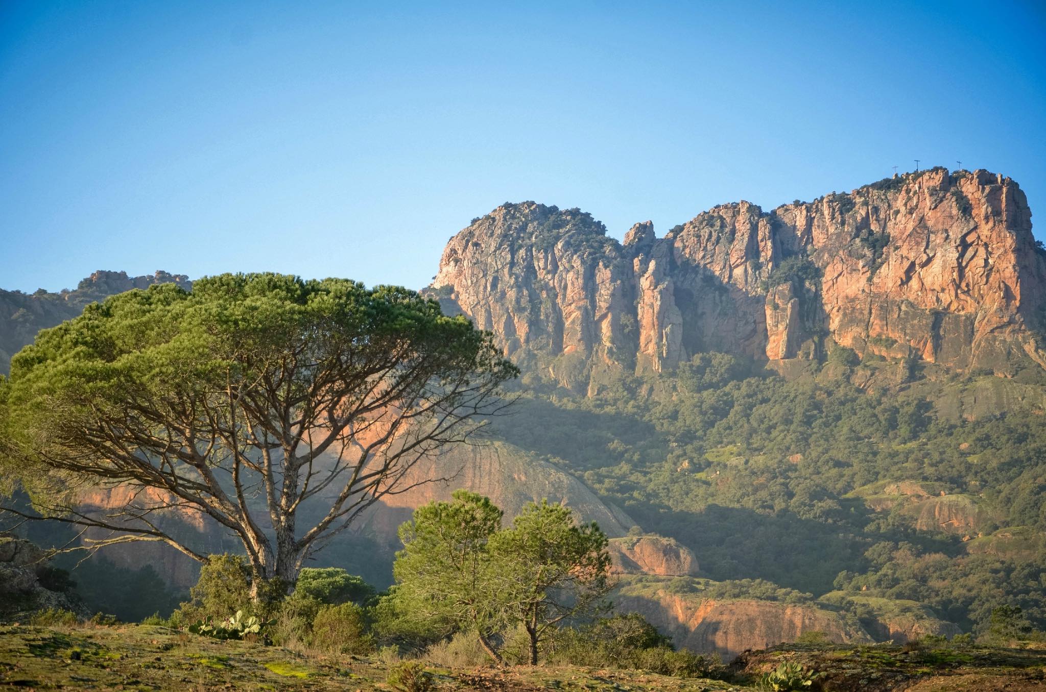
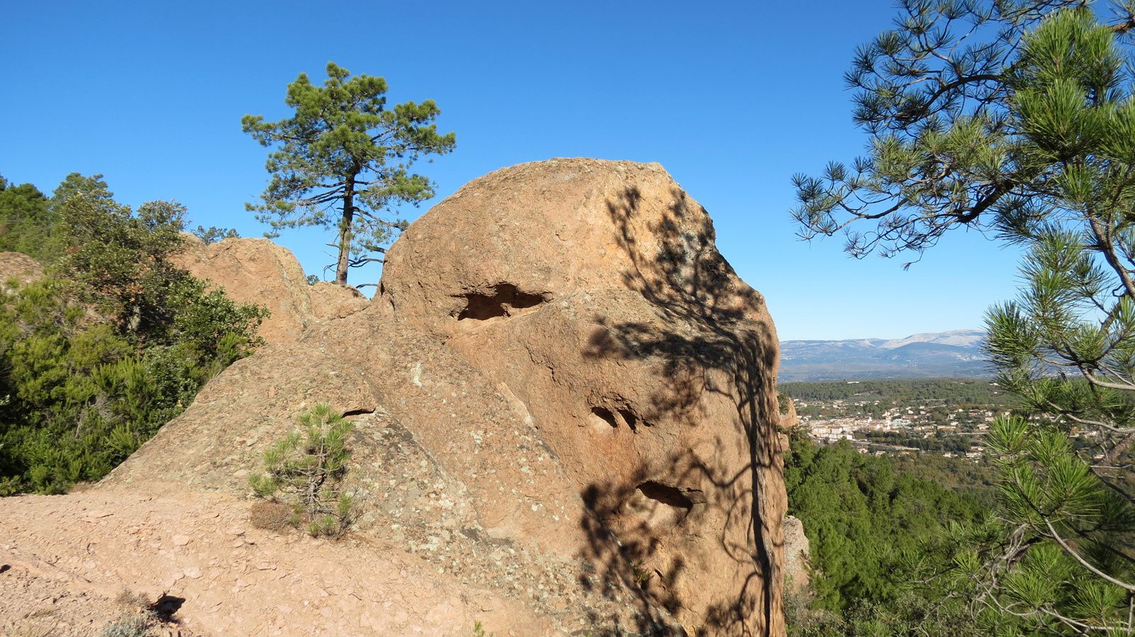
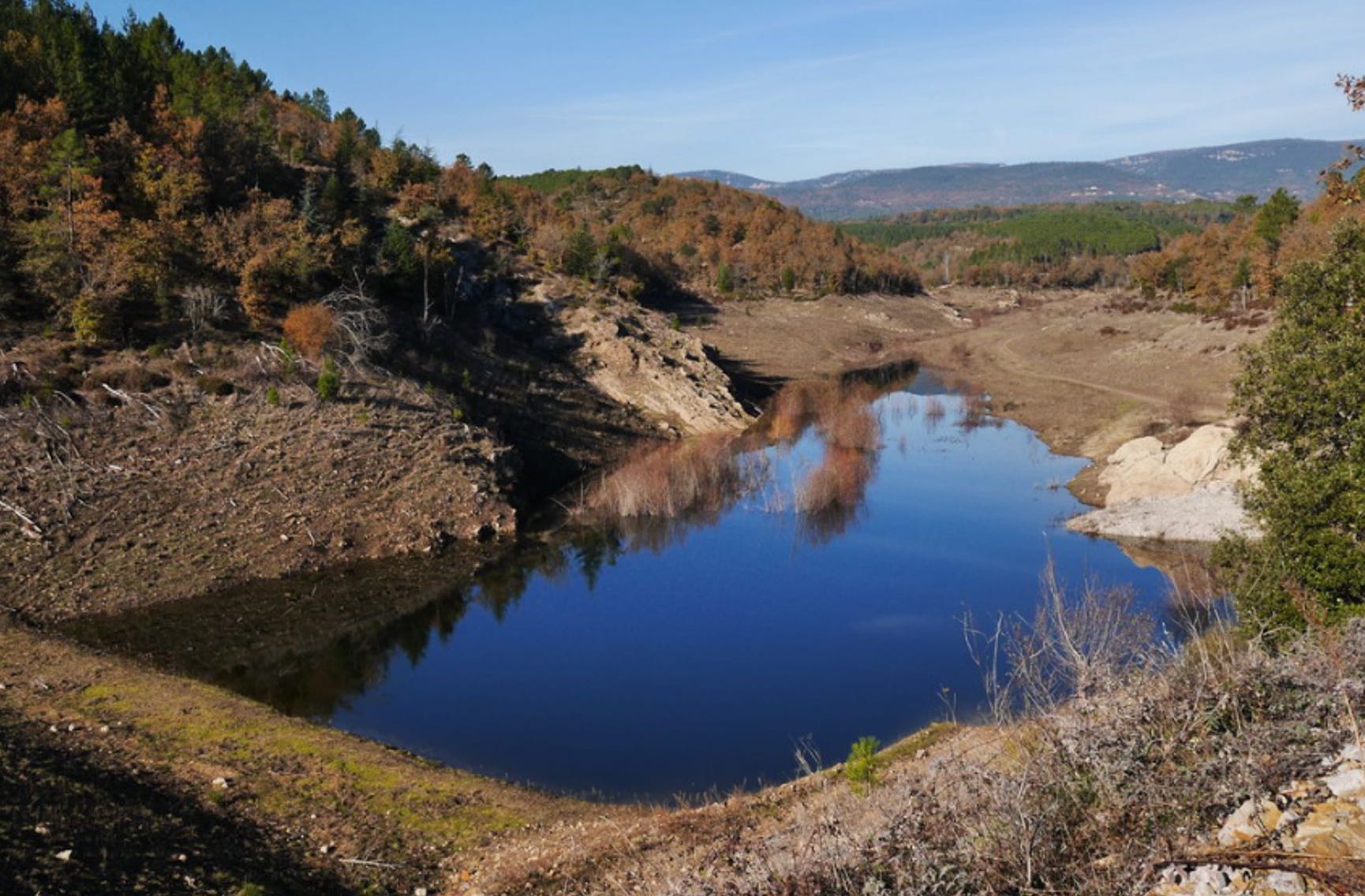
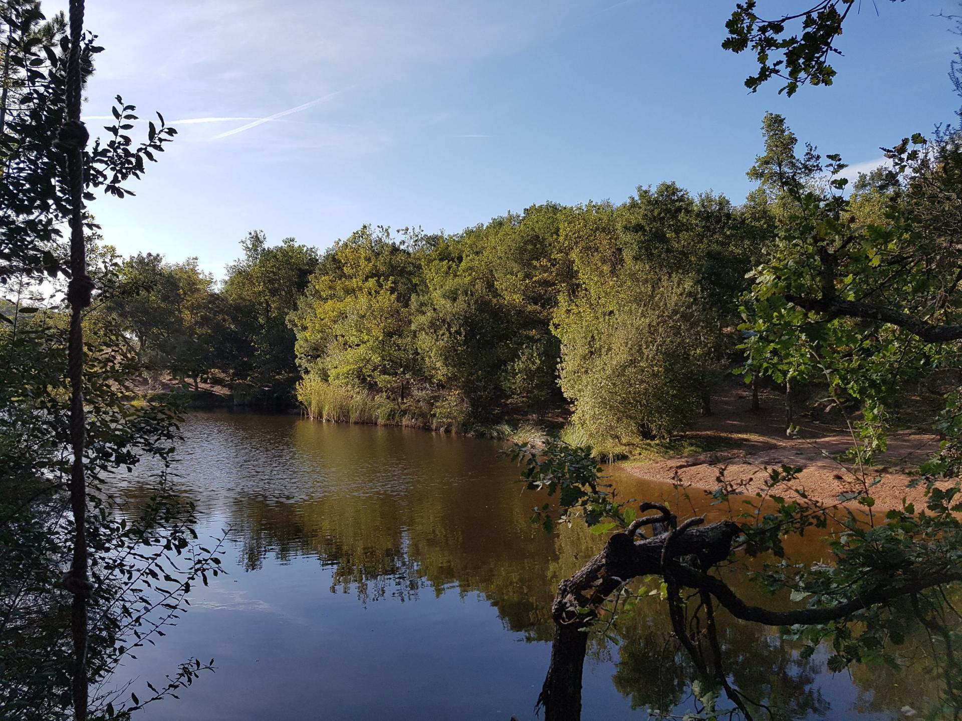
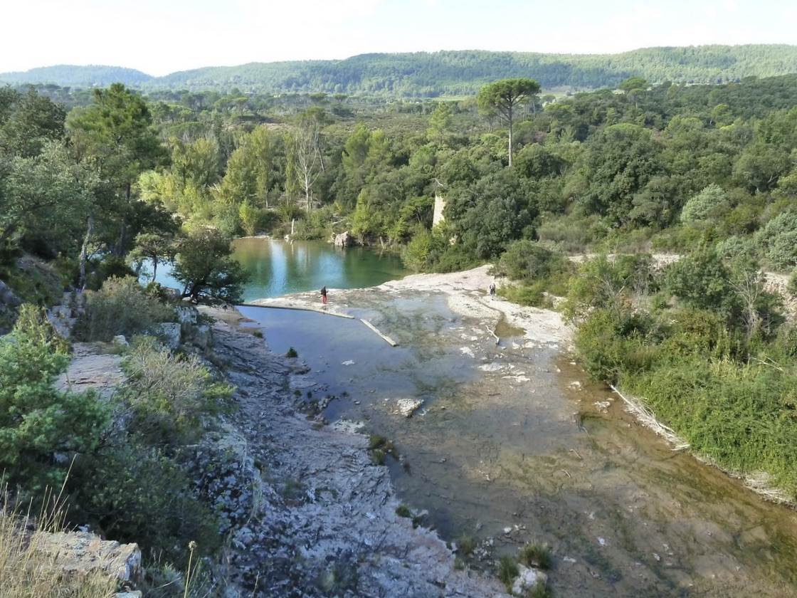
This is a loop hike mainly taking wide tracks, along the Endre, to the mill and the small waterfall of Gournié.

Already more than 200,000 users!
Uphill
241m
Highest point
272m
Downhill
241m
Lowest point
20m
Route type
Loop
Download the map on your smartphone to save battery and rest assured to always keep access to the route, even without signal.
Includes IGN France and Swisstopo.
I indicate whether dogs are allowed or prohibited on this trail
All year
4 ratings
Sympa mais il faut faire attention à un moment pour rester sur le chemin
Also enjoy:

Already more than 200,000 users!