Uphill
64m
Length
3km
Duration
1h
Elev gain
64m
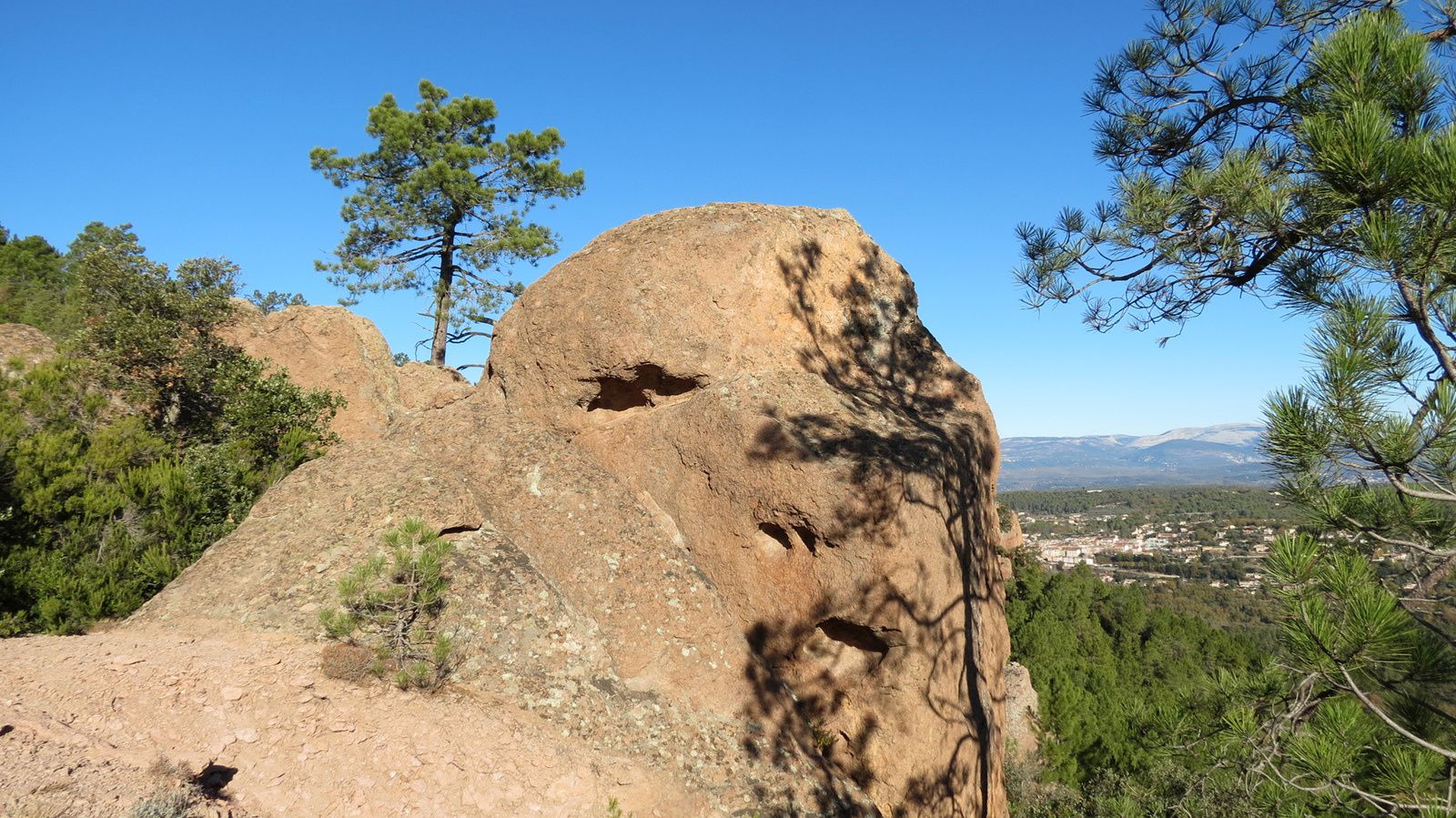
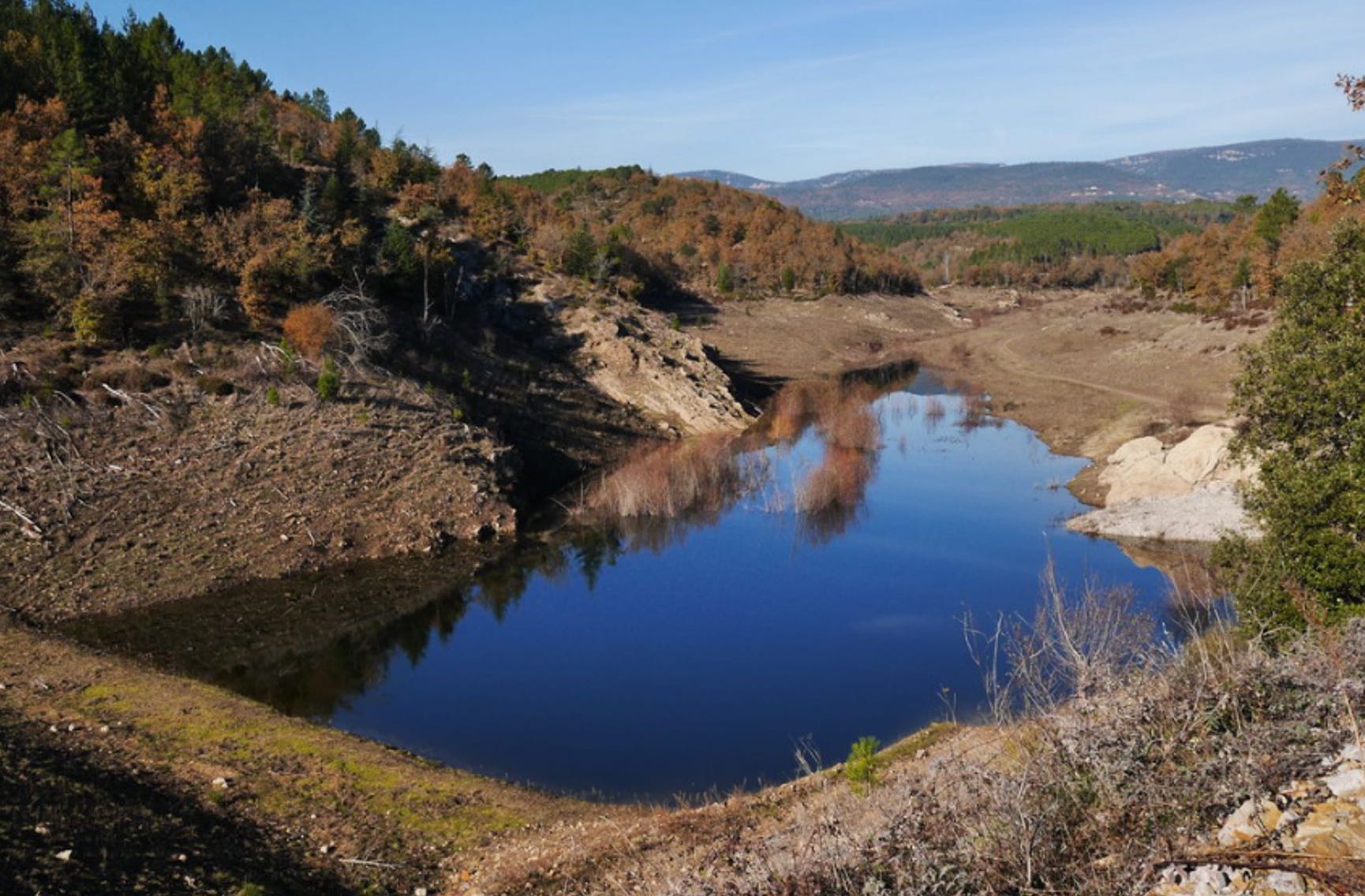
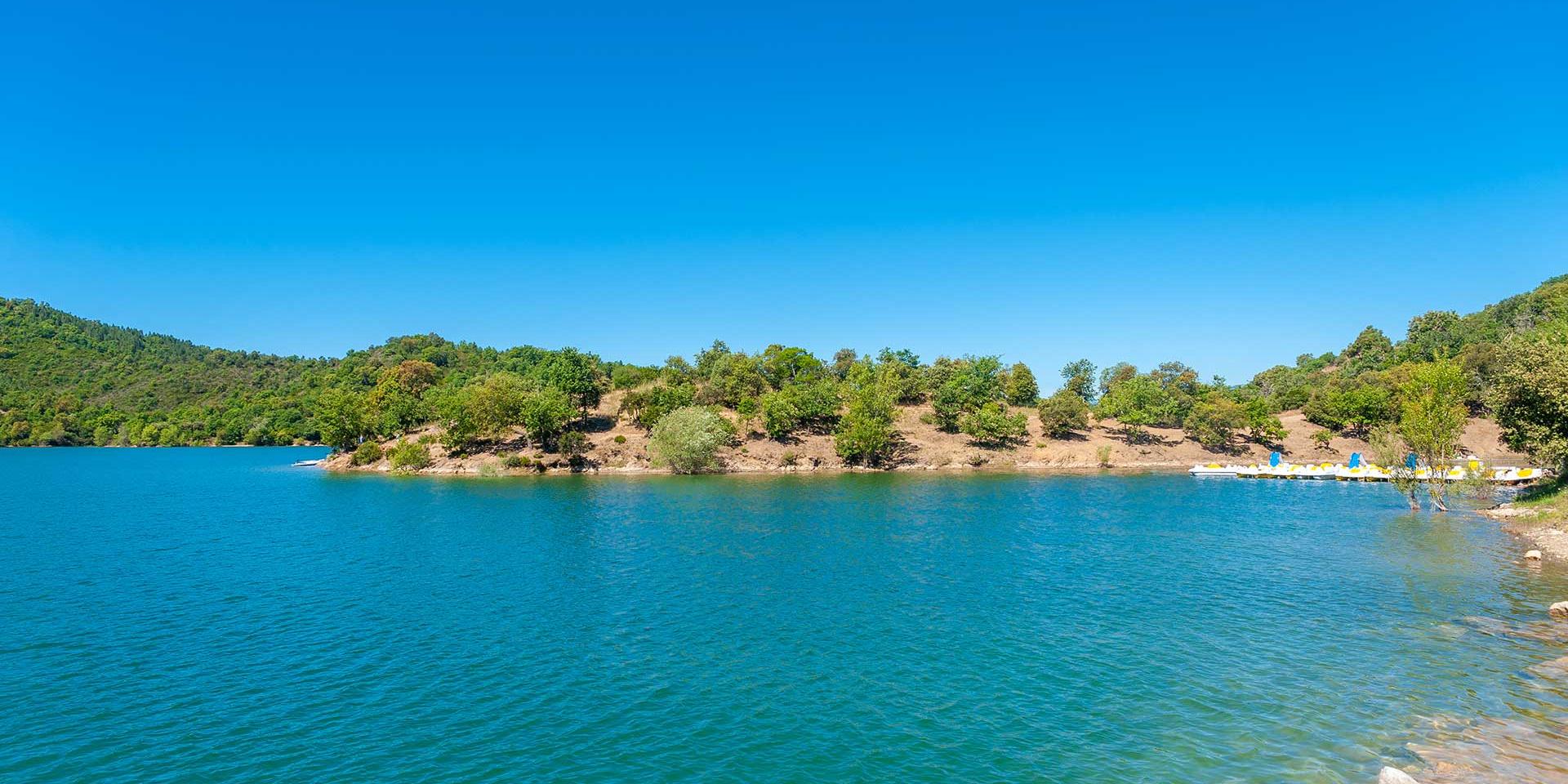
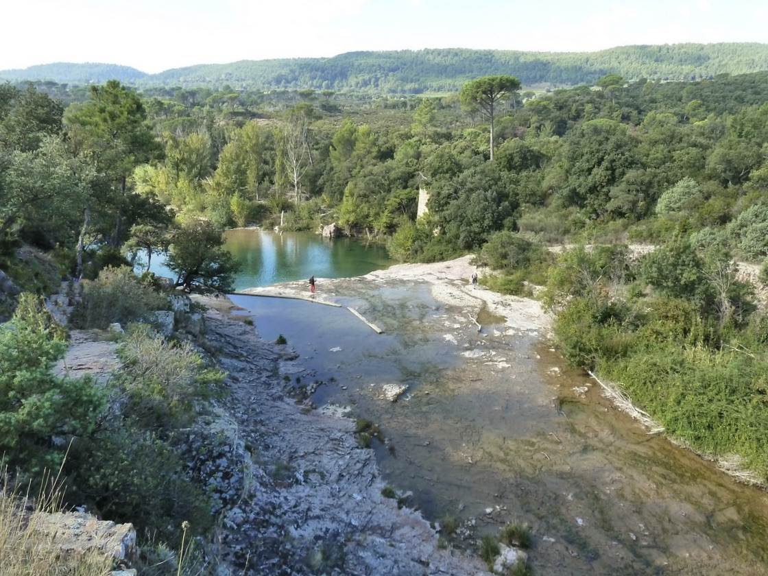
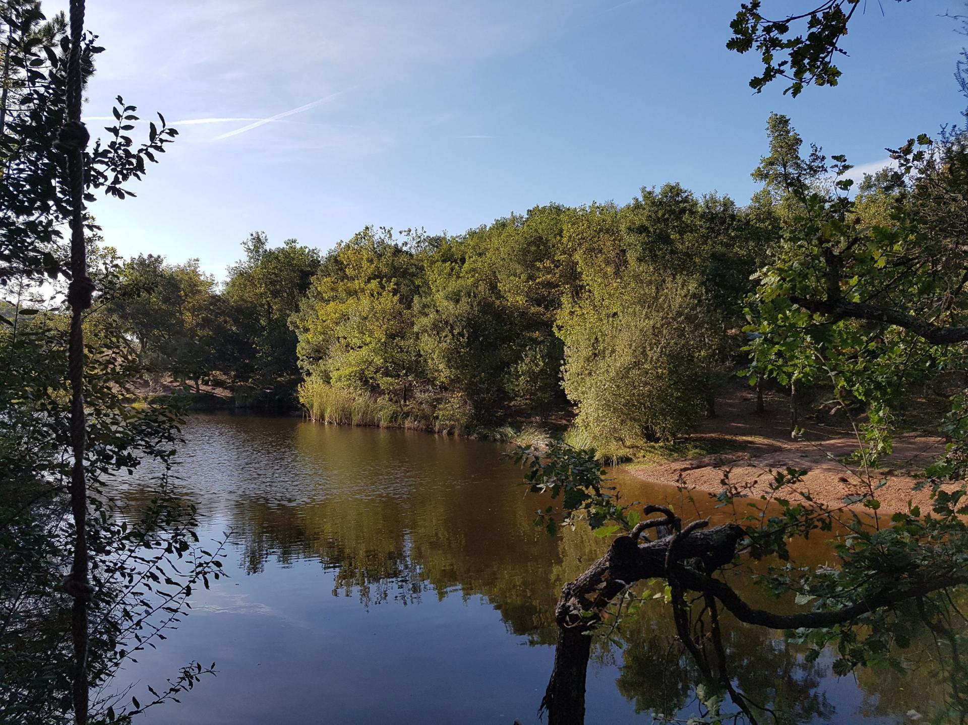
Departing from Saint-Paul-en-Forêt, this is an easy walk to the lake of Rioutard via a botanical path presenting the species of trees encountered in Provence.

Already more than 200,000 users!
Uphill
64m
Highest point
305m
Downhill
64m
Lowest point
250m
Route type
Loop
Download the map on your smartphone to save battery and rest assured to always keep access to the route, even without signal.
Includes IGN France and Swisstopo.
I indicate whether dogs are allowed or prohibited on this trail
All year
0 ratings
Also enjoy:

Already more than 200,000 users!