Uphill
261m
Length
14km
Duration
4h
Elev gain
261m
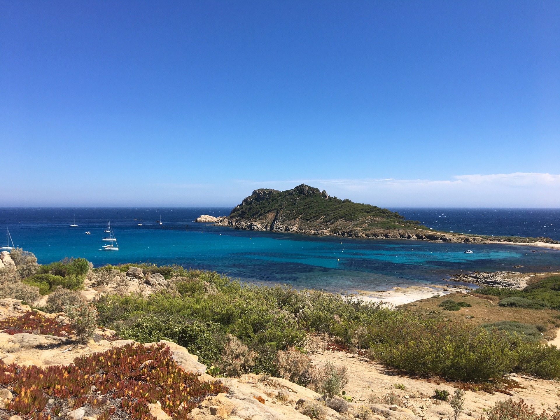
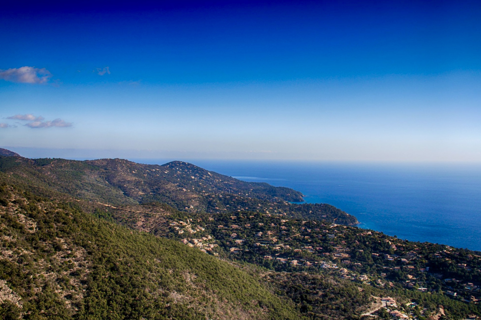
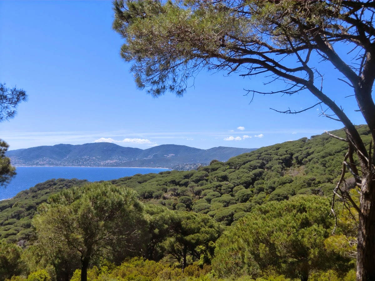
One of the most preserved coastal paths in the Var, with lovely views of the sea.

Already more than 200,000 users!
Uphill
261m
Highest point
98m
Downhill
261m
Lowest point
0m
Route type
Loop
Download the map on your smartphone to save battery and rest assured to always keep access to the route, even without signal.
Includes IGN France and Swisstopo.
I indicate whether dogs are allowed or prohibited on this trail
All year
7 ratings
Super mais parking payant
Superbe balade ! Le cap Taillait offre un superbe point de vue sur la côte - et est du coup assez prisé des Instagrameurs.
J’ai effectué l’aller-retour en longeant la côte, plutôt que dans les terres.
Also enjoy:

Already more than 200,000 users!