Uphill
117m
Length
6km
Duration
2h
Elev gain
117m
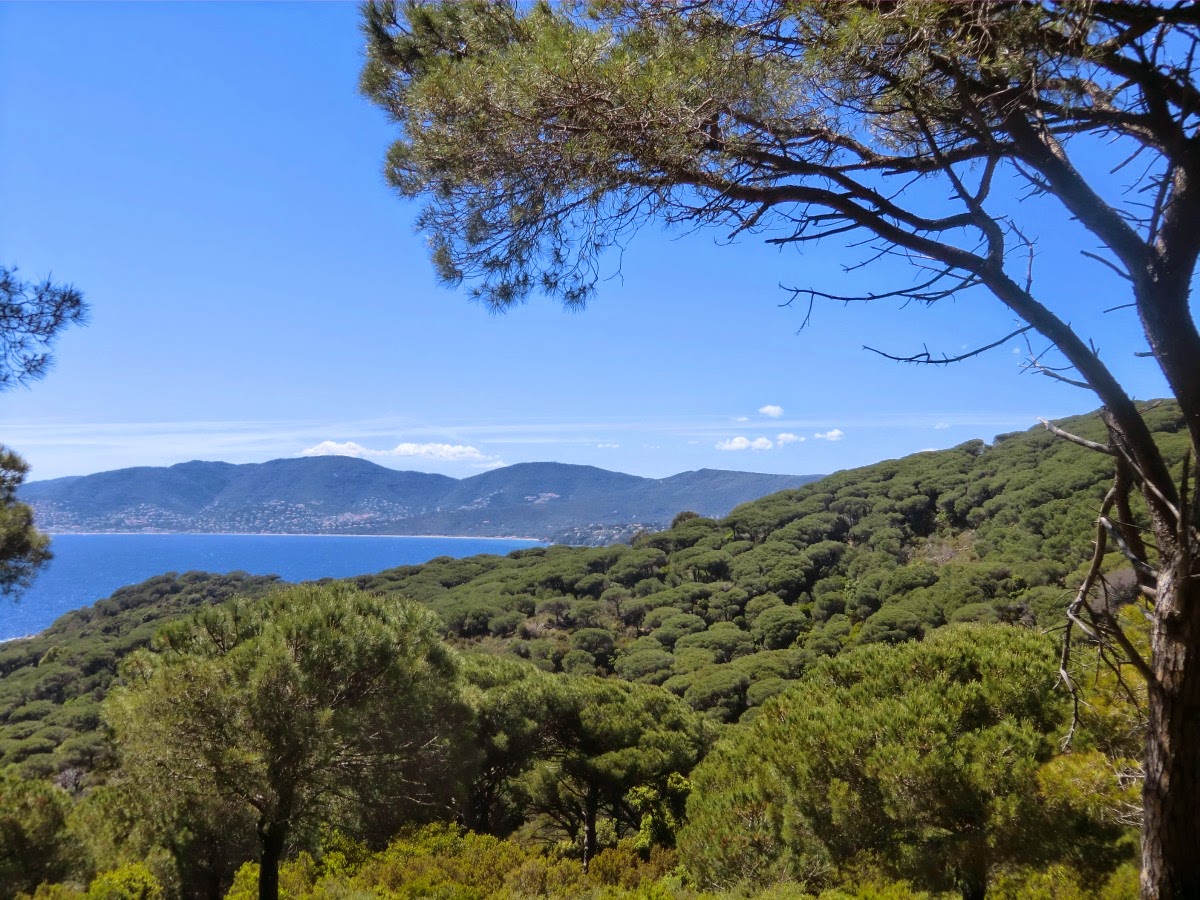
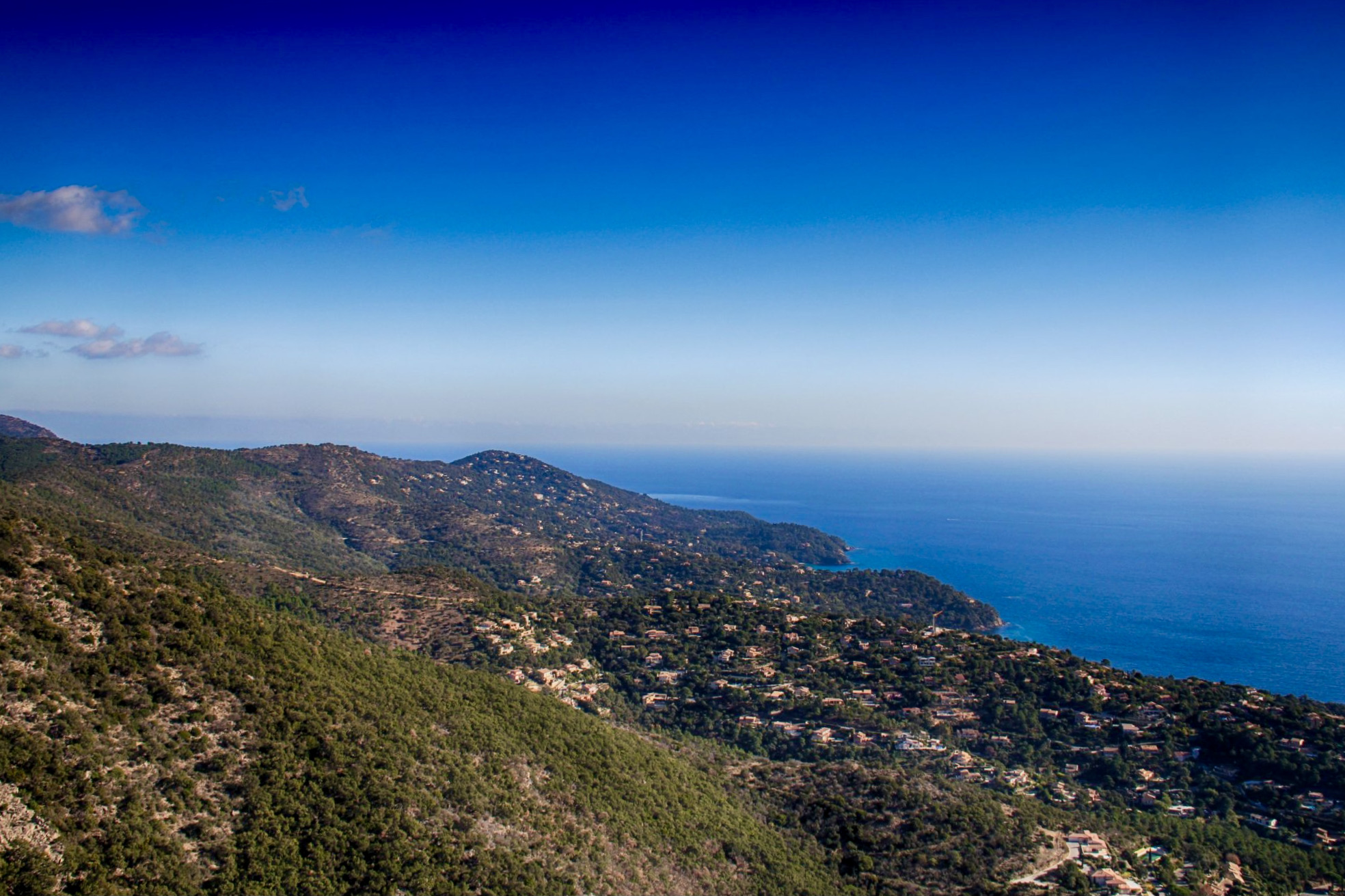
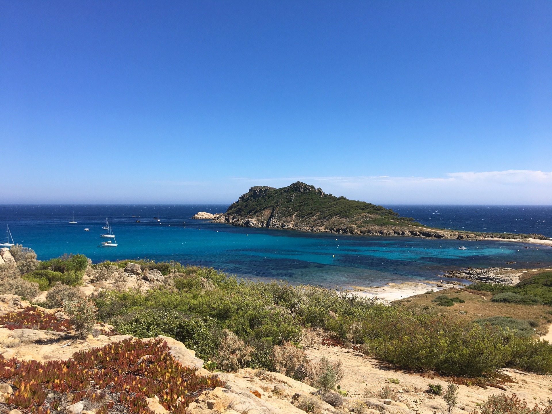
Departing from Escalet beach, this is a round trip to Cap Taillat. The journey takes place on a coastal path slightly overlooking the sea and offering many possibilities for swimming.
From the cape itself, the panorama is simply breathtaking.

Already more than 200,000 users!
Uphill
117m
Highest point
36m
Downhill
117m
Lowest point
0m
Route type
There and back
Download the map on your smartphone to save battery and rest assured to always keep access to the route, even without signal.
Includes IGN France and Swisstopo.
I indicate whether dogs are allowed or prohibited on this trail
All year
2 ratings
Super sentier. Très belle vue. Quelques passages un peu dur pour les enfants
Also enjoy:

Already more than 200,000 users!