Uphill
300m
France > Provence-Alpes-Côte d'Azur > Var
Length
18km
Duration
5h
Elev gain
300m
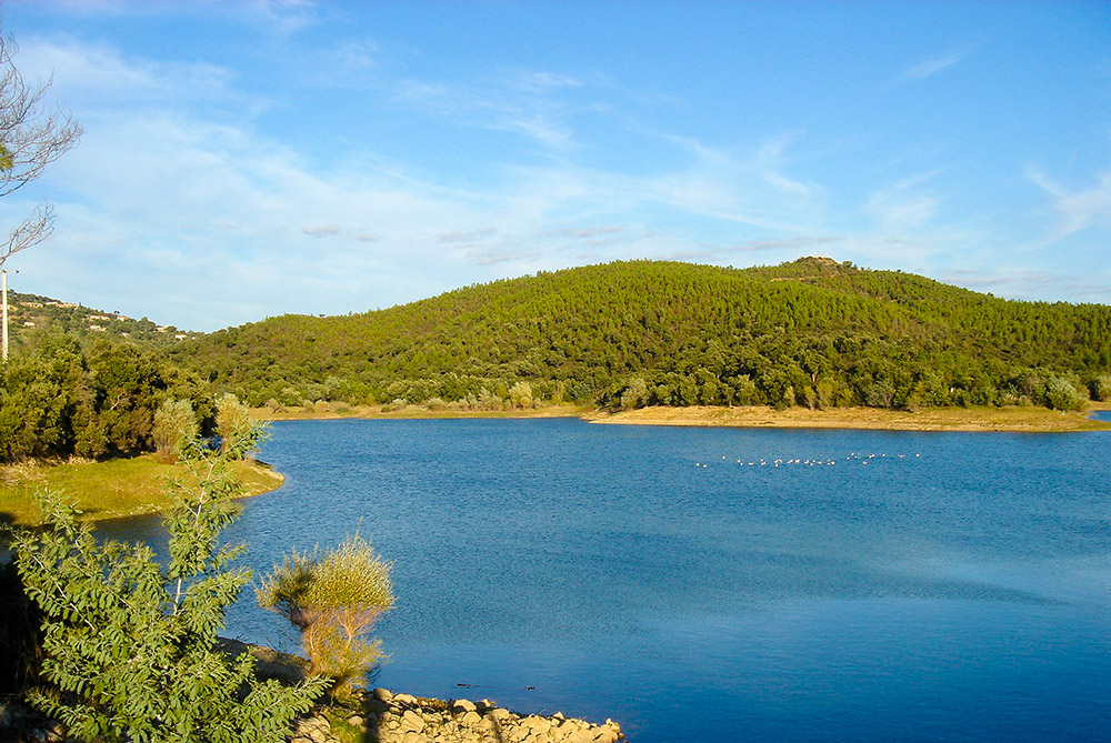
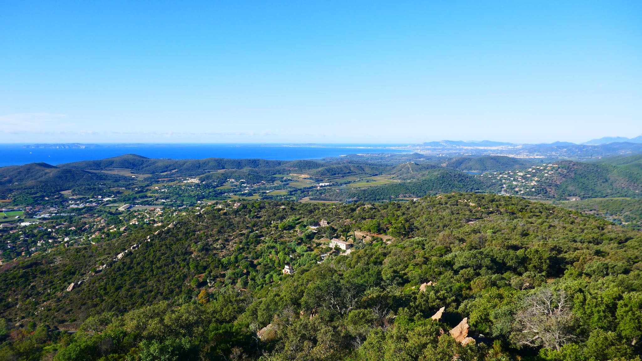
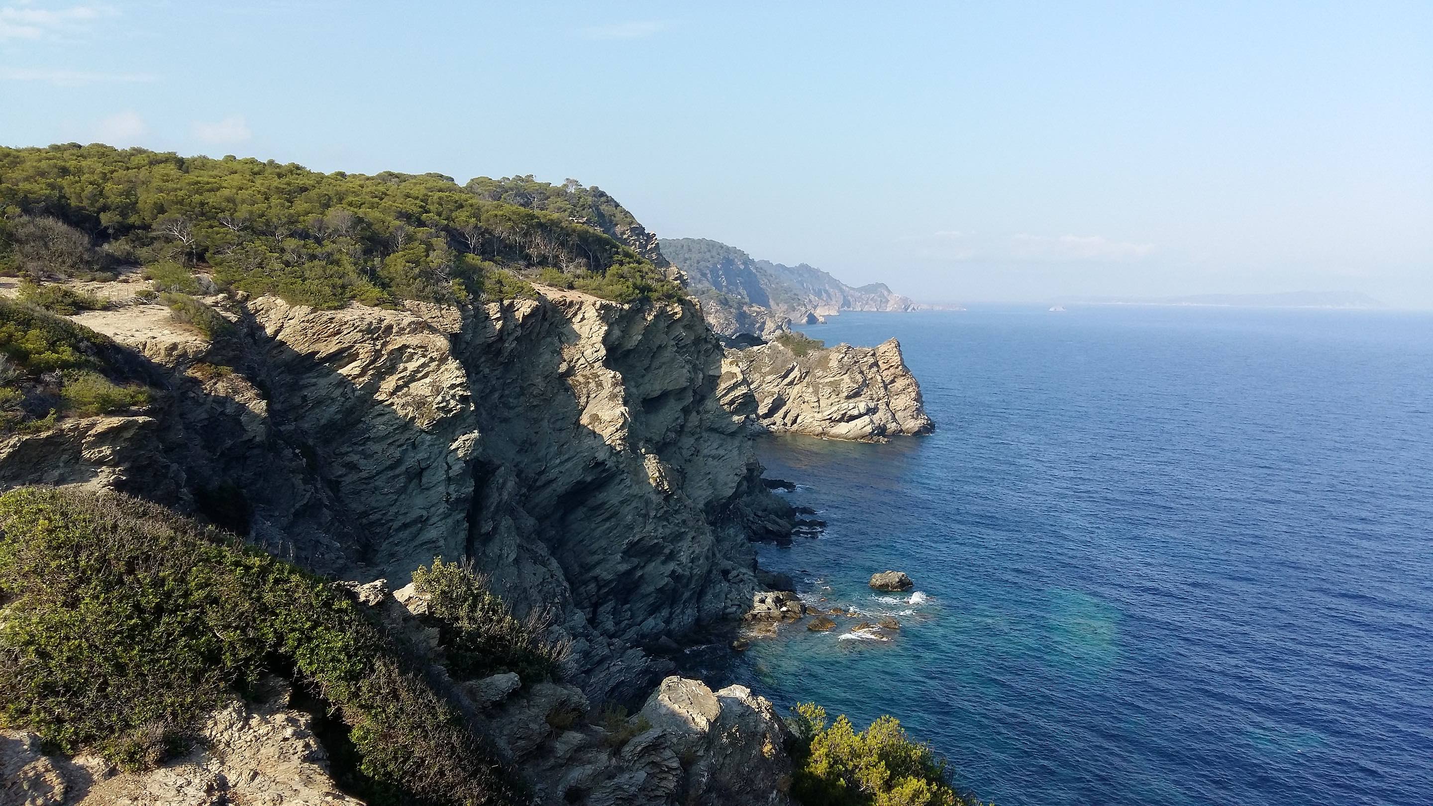
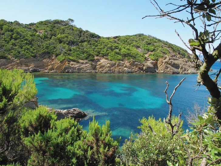
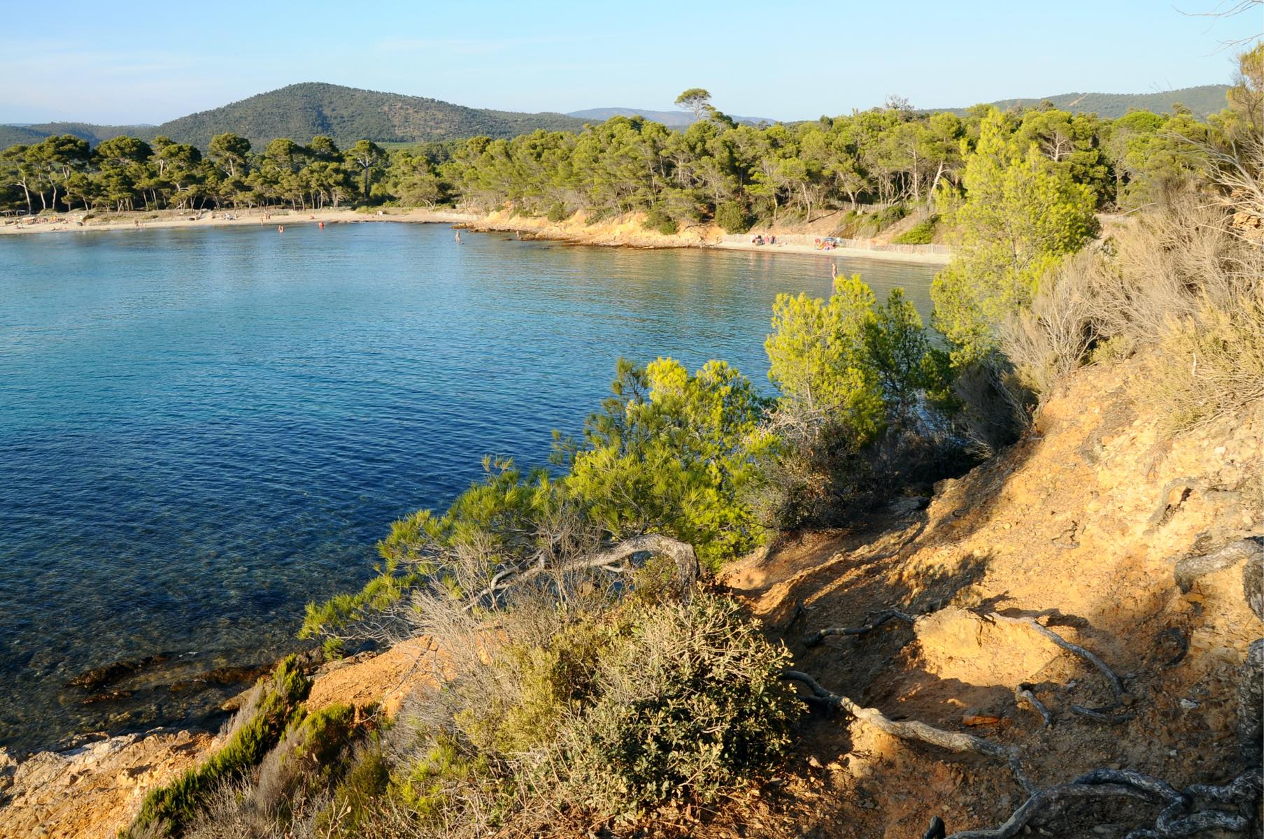
Here is a long hike back and forth, from Argentière beach to Fort Brégançon. The trail runs alongside numerous beaches and coves in a relatively unspoiled section of the coast, offering lovely views of the sea and the Hyères islands.

Already more than 200,000 users!
Uphill
300m
Highest point
20m
Downhill
300m
Lowest point
0m
Route type
There and back
Download the map on your smartphone to save battery and rest assured to always keep access to the route, even without signal.
Includes IGN France and Swisstopo.
I indicate whether dogs are allowed or prohibited on this trail
All year
1 rating
Also enjoy:

Already more than 200,000 users!