Uphill
320m
Length
15km
Duration
4h30min
Elev gain
320m
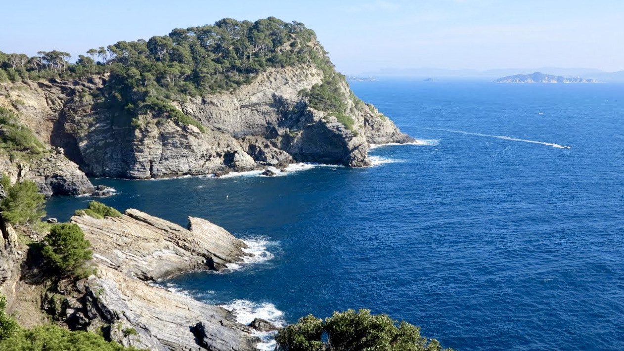
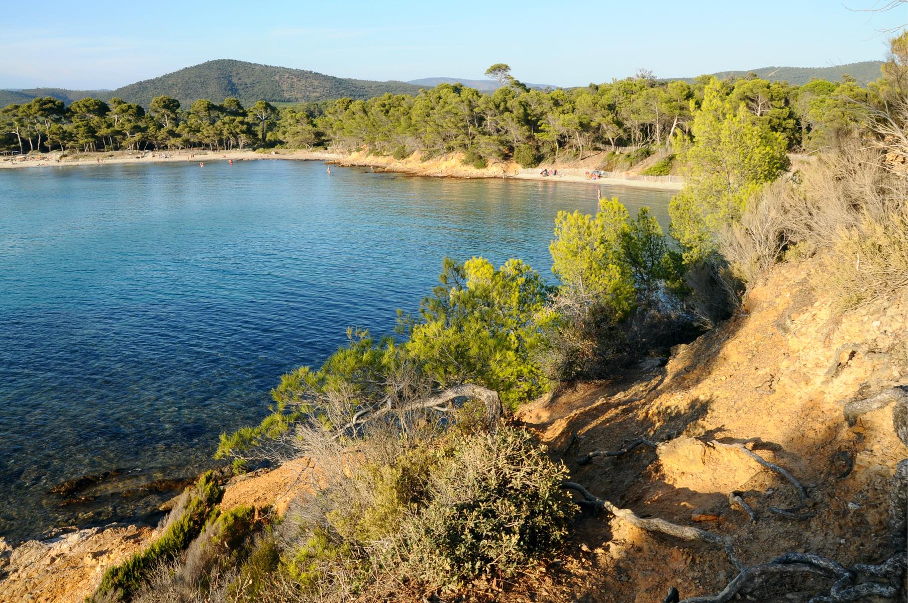
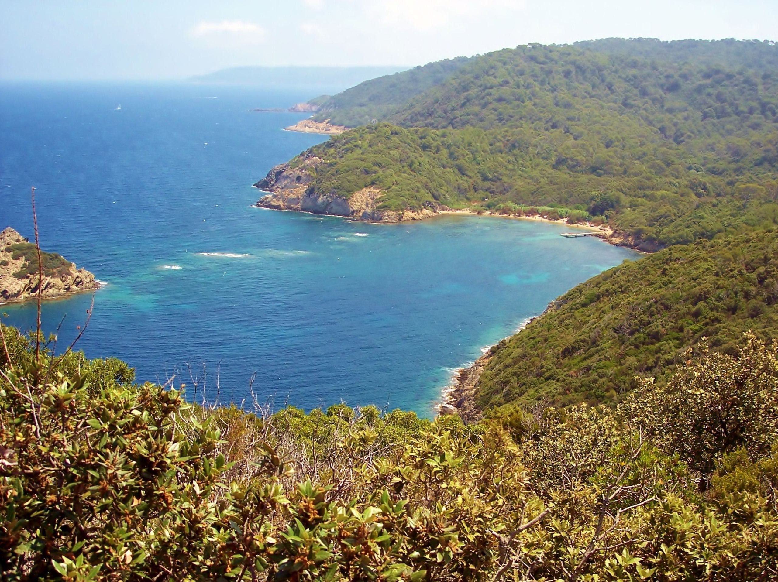
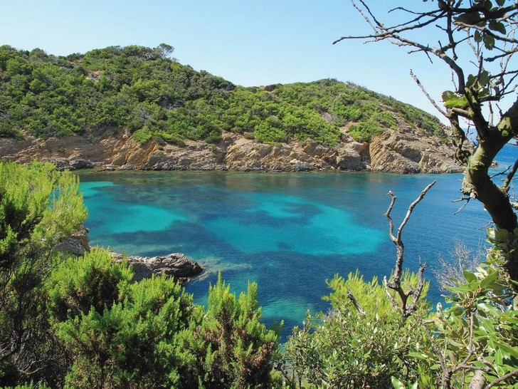
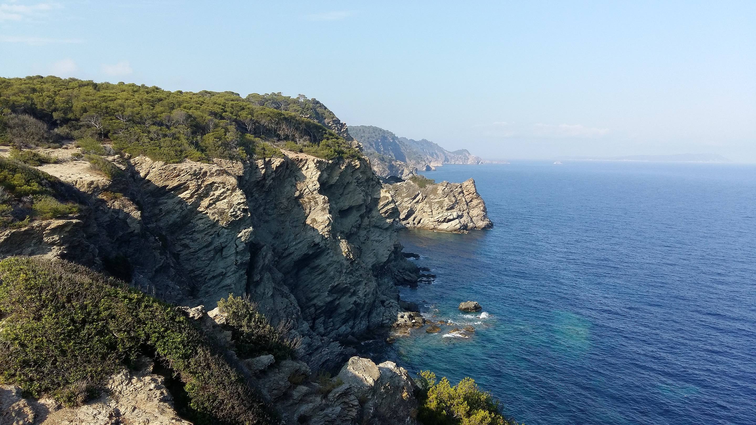
Tour of the western half of the island of Porquerolles, including the lighthouse and the tip of the Grand Langoustier. No particular difficulty apart from the length.

Already more than 200,000 users!
Uphill
320m
Highest point
98m
Downhill
320m
Lowest point
0m
Route type
Loop
Download the map on your smartphone to save battery and rest assured to always keep access to the route, even without signal.
Includes IGN France and Swisstopo.
I indicate whether dogs are allowed or prohibited on this trail
All year
1 rating
Also enjoy:

Already more than 200,000 users!