Uphill
115m
Length
4km
Duration
1h30min
Elev gain
115m
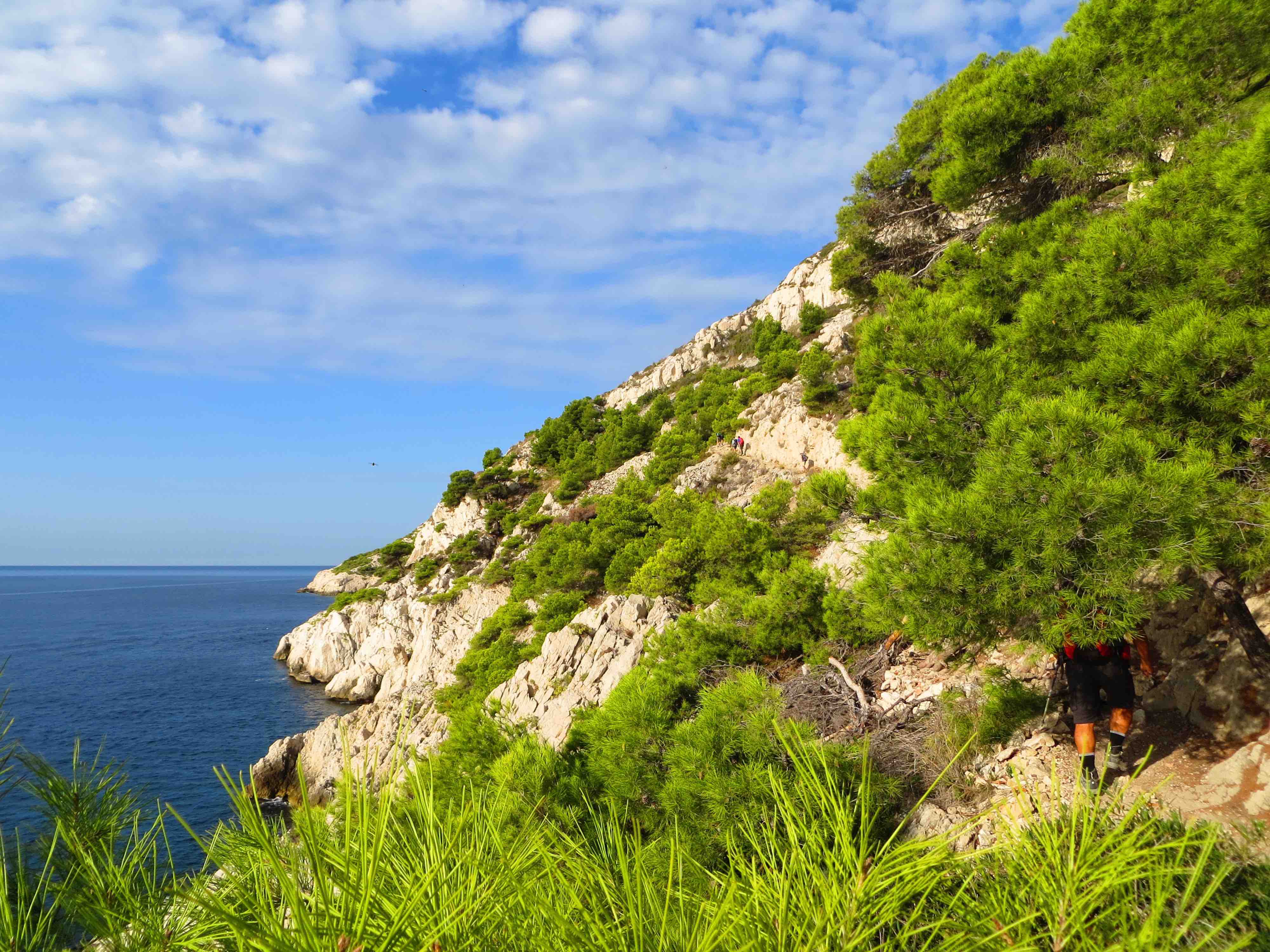
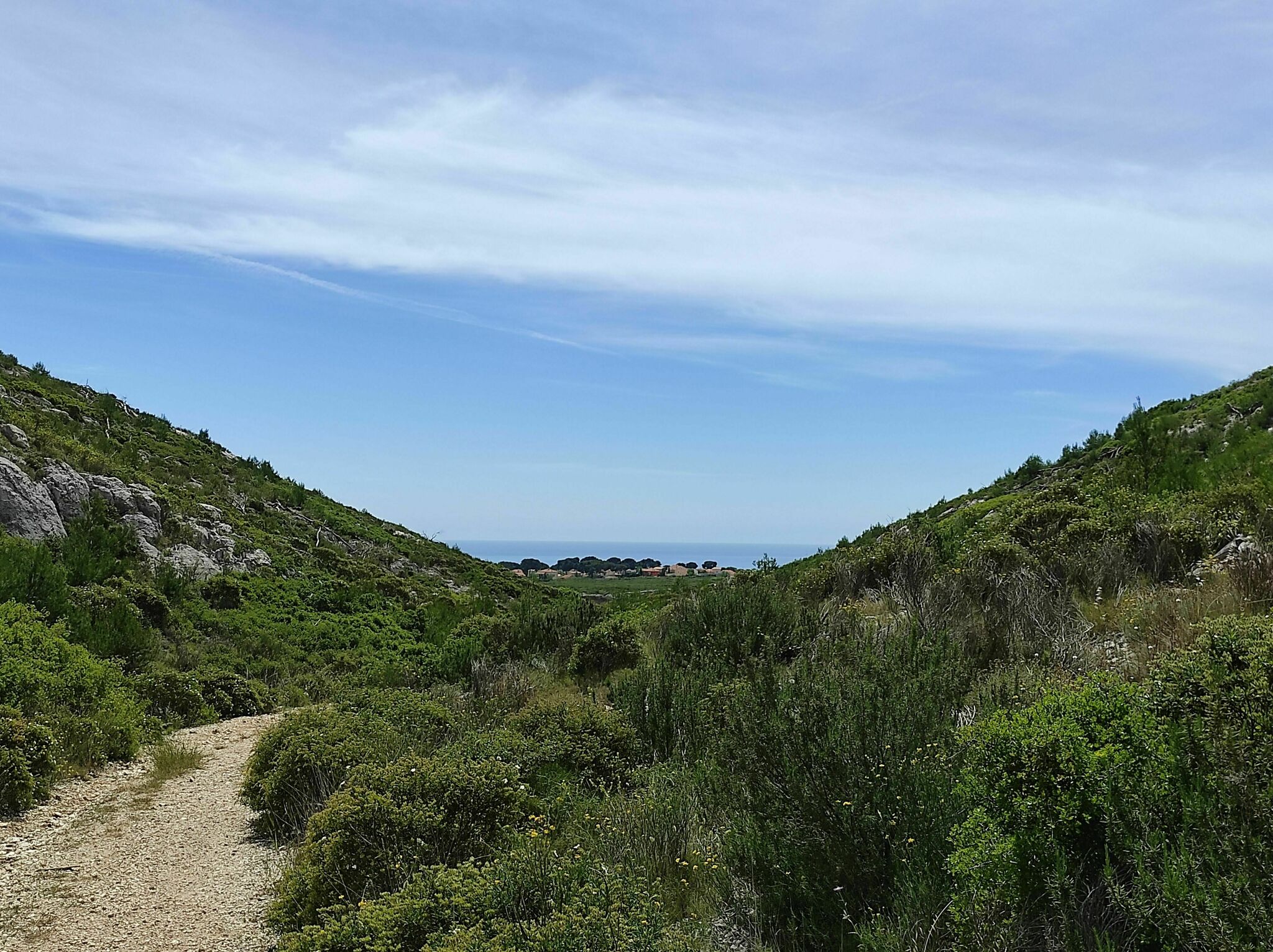
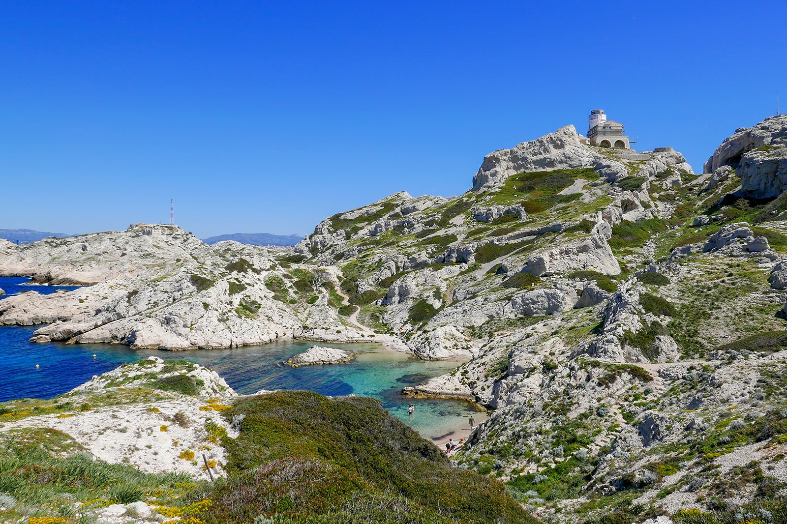
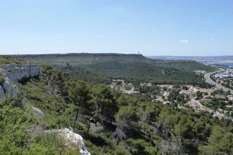
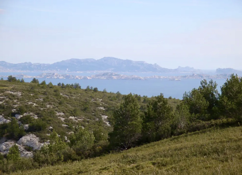
This is a relatively easy walk although not very shaded, which offers pretty points of view on Marseille and the islands of Frioul.

Already more than 200,000 users!
Uphill
115m
Highest point
211m
Downhill
115m
Lowest point
92m
Route type
Loop
Download the map on your smartphone to save battery and rest assured to always keep access to the route, even without signal.
Includes IGN France and Swisstopo.
I indicate whether dogs are allowed or prohibited on this trail
All year
1 rating
Also enjoy:

Already more than 200,000 users!