Uphill
354m
Length
7km
Duration
3h
Elev gain
354m
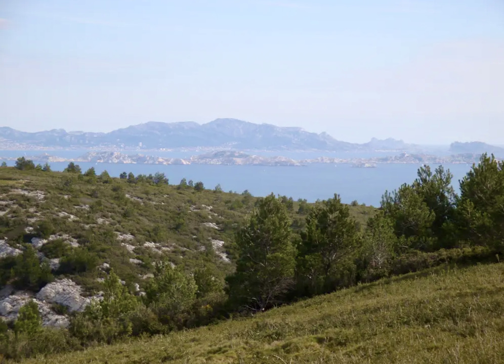
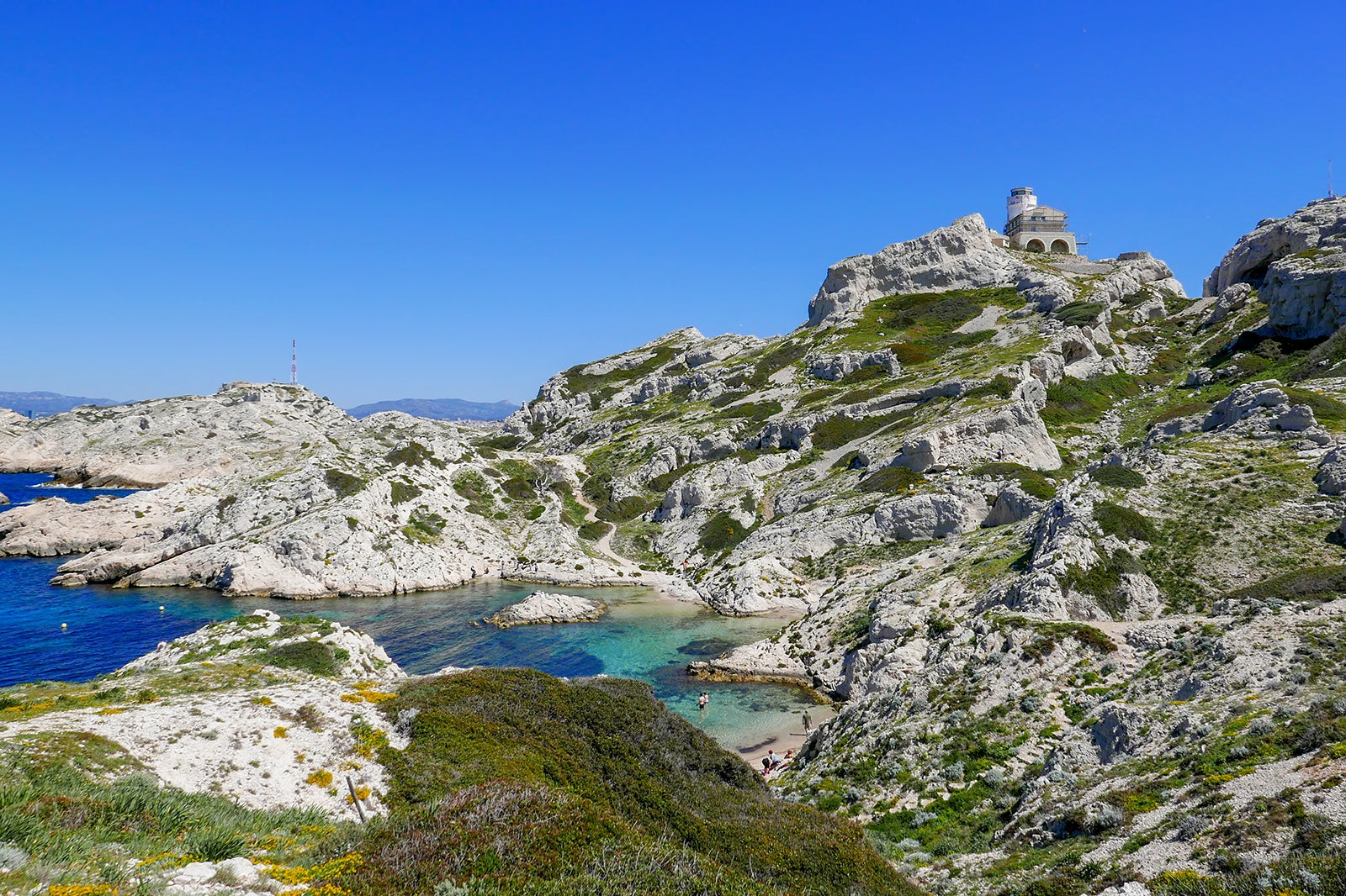
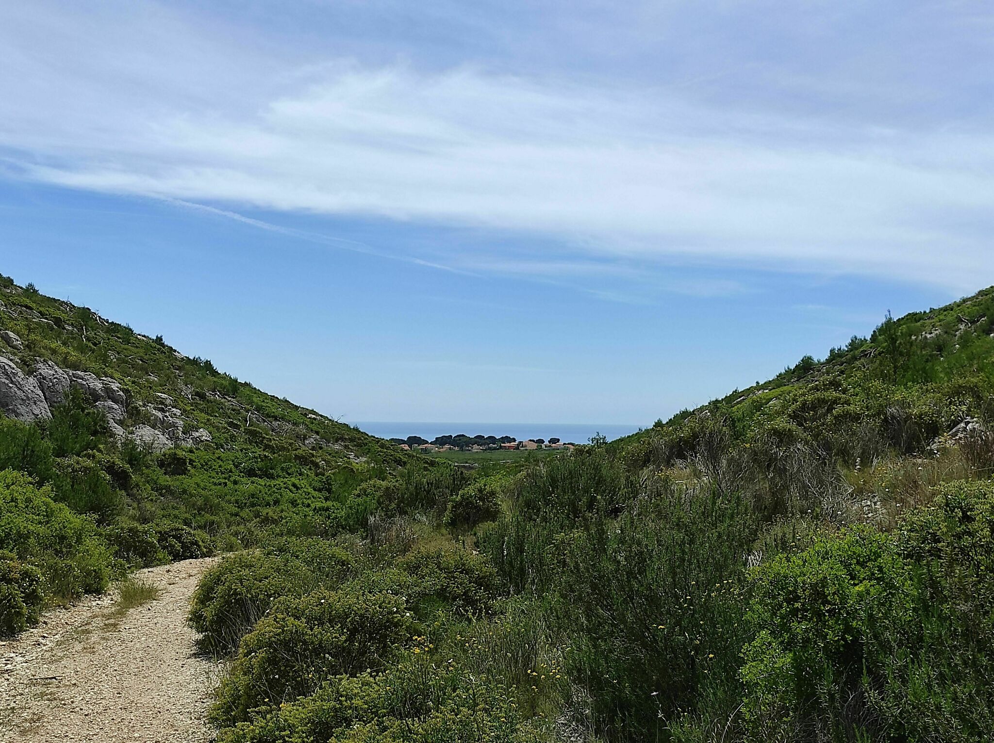
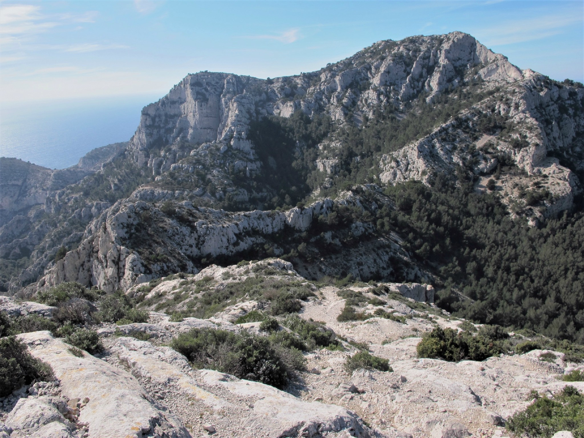
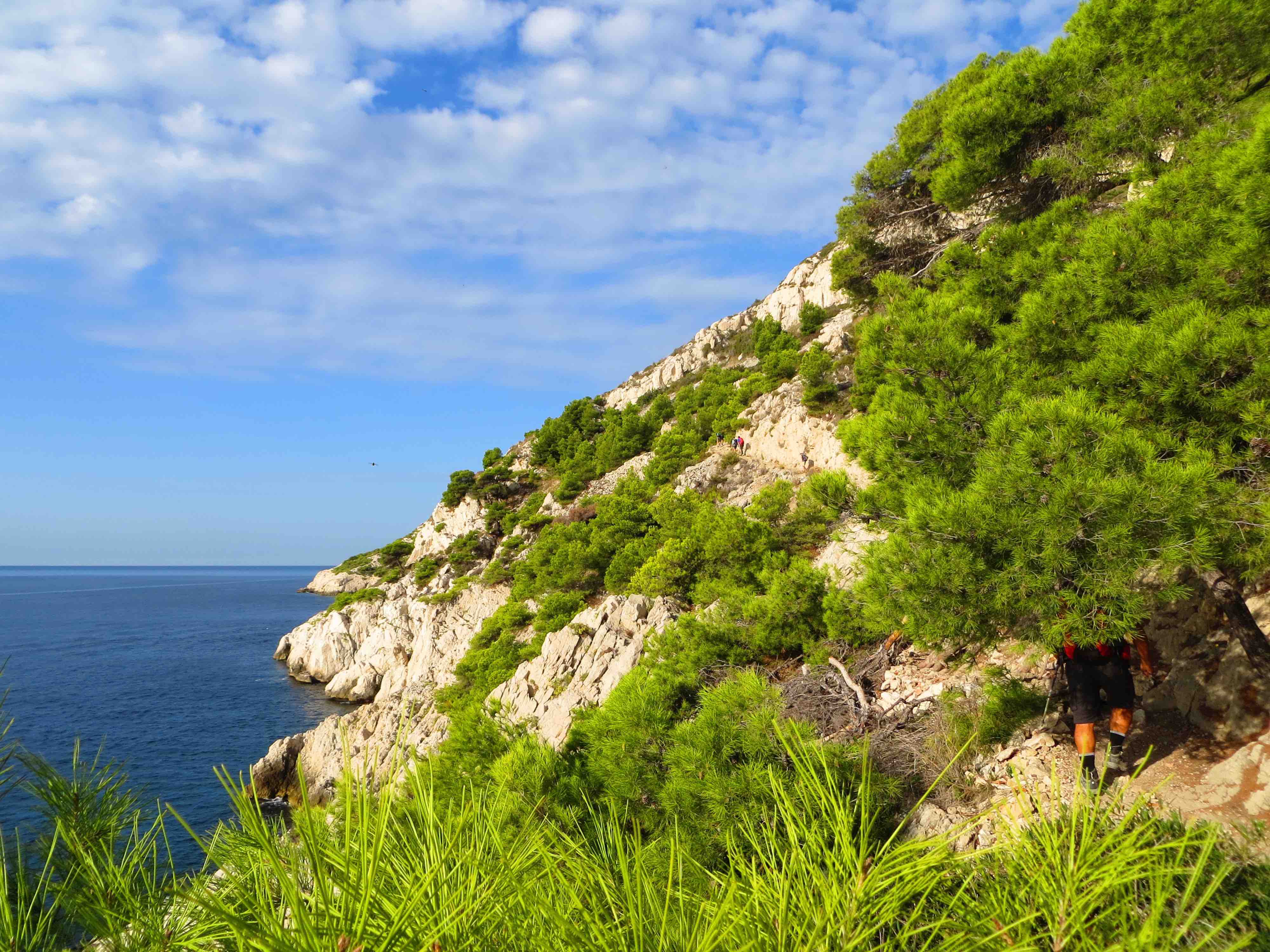
This hike takes the coastal path, and offers magnificent views of the bay and the creeks.

Already more than 200,000 users!
Uphill
354m
Highest point
66m
Downhill
352m
Lowest point
0m
Route type
One way
Download the map on your smartphone to save battery and rest assured to always keep access to the route, even without signal.
Includes IGN France and Swisstopo.
Niolon start: parking at the entrance to the village.
La Redonne start: harder to park, a few spots at the port.
Niolon and La Redonne stations offer regular TER service to Marseille.
I indicate whether dogs are allowed or prohibited on this trail
All year
6 ratings
Also enjoy:

Already more than 200,000 users!