Uphill
208m
Length
14km
Duration
4h
Elev gain
208m
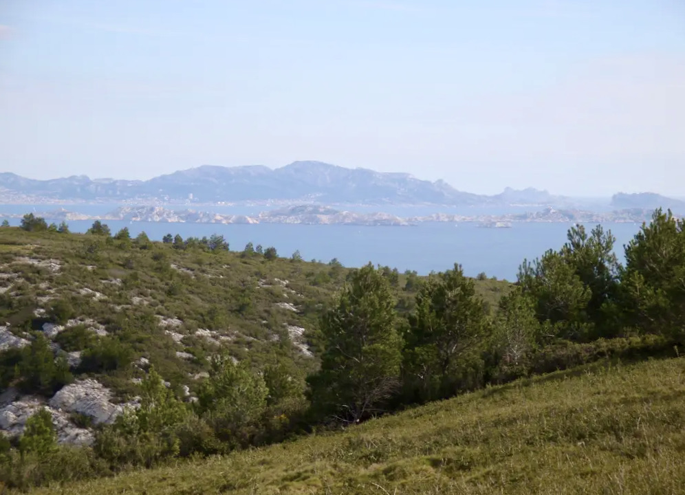
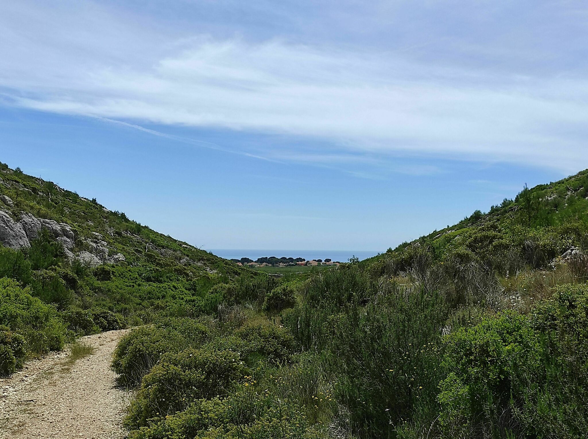
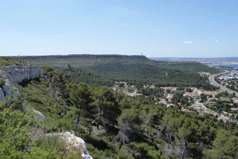
Departing from Velaux, here is a large circuit on the Arbois plateau via the Croix de Rognac. The cliffs offer a pretty point of view on Rognac and the pond of Berre.

Already more than 200,000 users!
Uphill
208m
Highest point
267m
Downhill
208m
Lowest point
81m
Route type
Loop
Download the map on your smartphone to save battery and rest assured to always keep access to the route, even without signal.
Includes IGN France and Swisstopo.
I indicate whether dogs are allowed or prohibited on this trail
All year
0 ratings
Also enjoy:

Already more than 200,000 users!