Uphill
486m

France > Provence-Alpes-Côte d'Azur > Alpes-Maritimes > Préalpes d'Azur Regional Natural Park
Length
11km
Duration
4h
Elev gain
486m
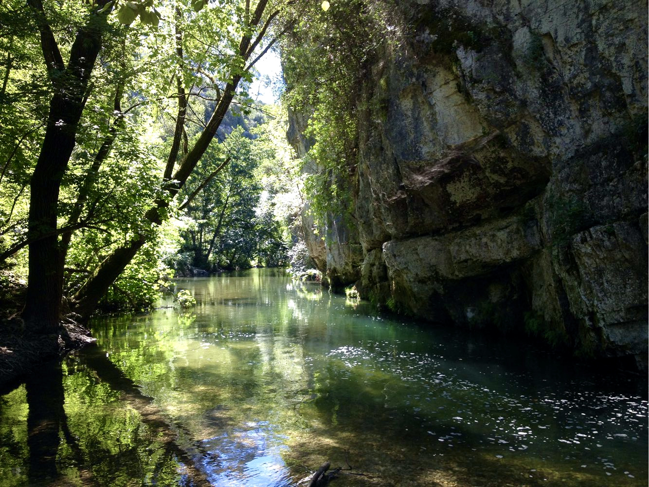
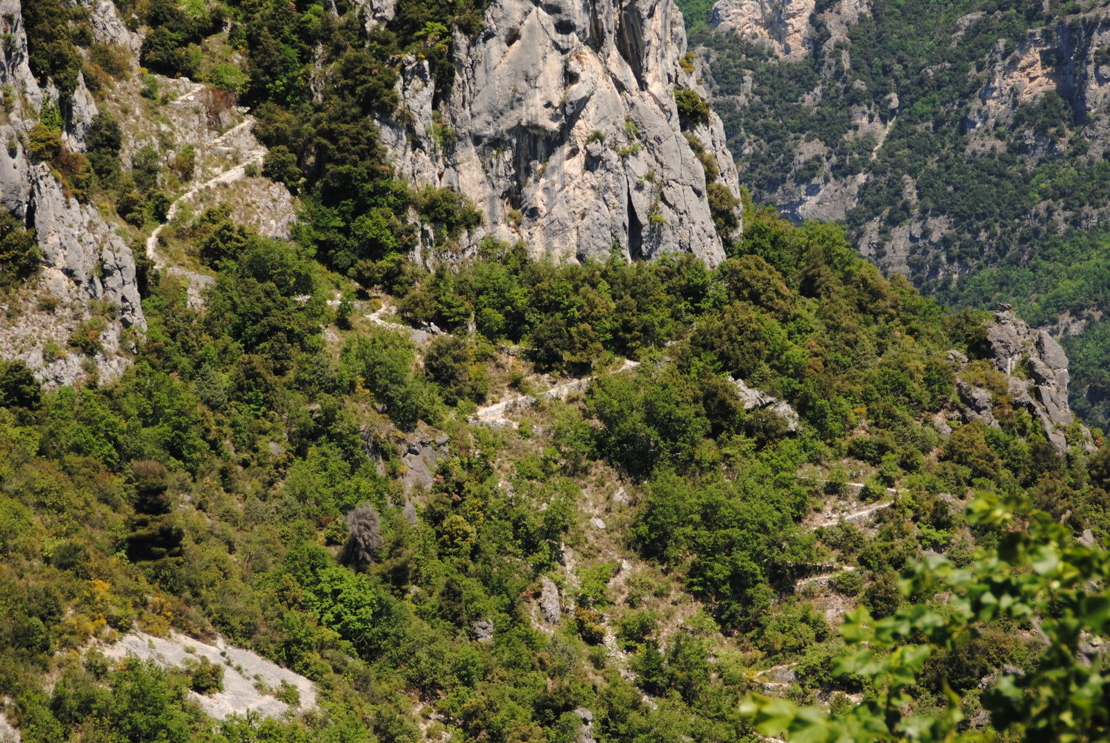
Very pleasant hike that leads to the Cascade du Végay in the middle of the route and then to a suspension bridge. Be careful, to reach the highest level of the waterfall, it is better to be well equipped and experienced. Once you reach the landing, the view is breathtaking!

Already more than 200,000 users!
Uphill
486m
Highest point
623m
Downhill
486m
Lowest point
400m
Route type
There and back
Download the map on your smartphone to save battery and rest assured to always keep access to the route, even without signal.
Includes IGN France and Swisstopo.
I indicate whether dogs are allowed or prohibited on this trail
All year
2 ratings
Also enjoy:

Already more than 200,000 users!