Uphill
502m
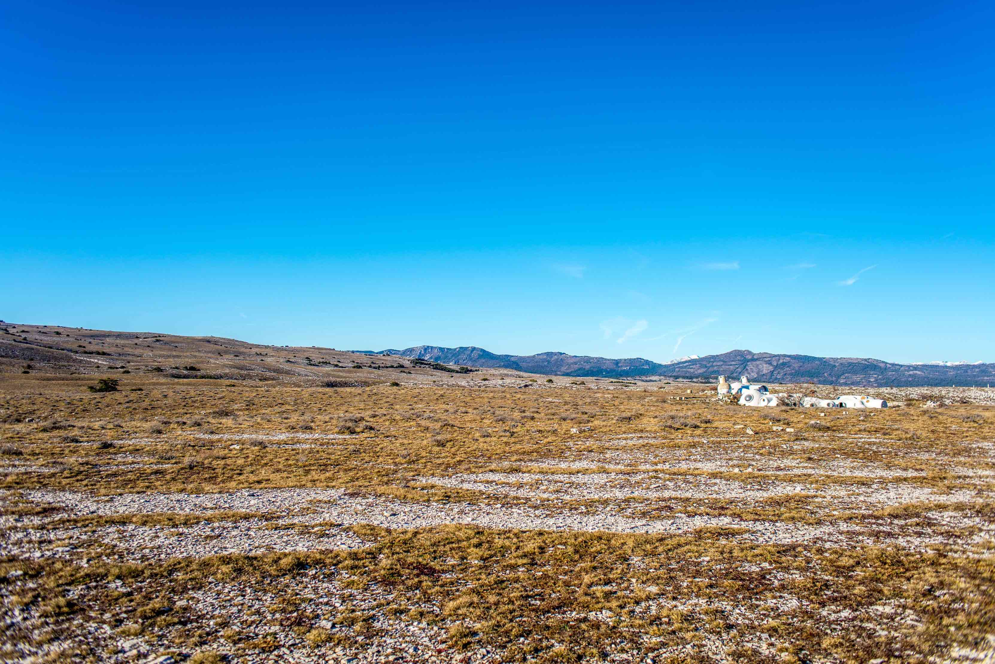
France > Provence-Alpes-Côte d'Azur > Alpes-Maritimes > Préalpes d'Azur Regional Natural Park
Length
12km
Duration
4h
Elev gain
502m
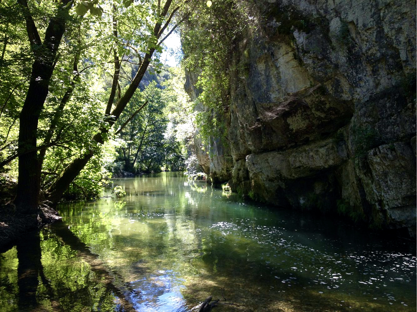
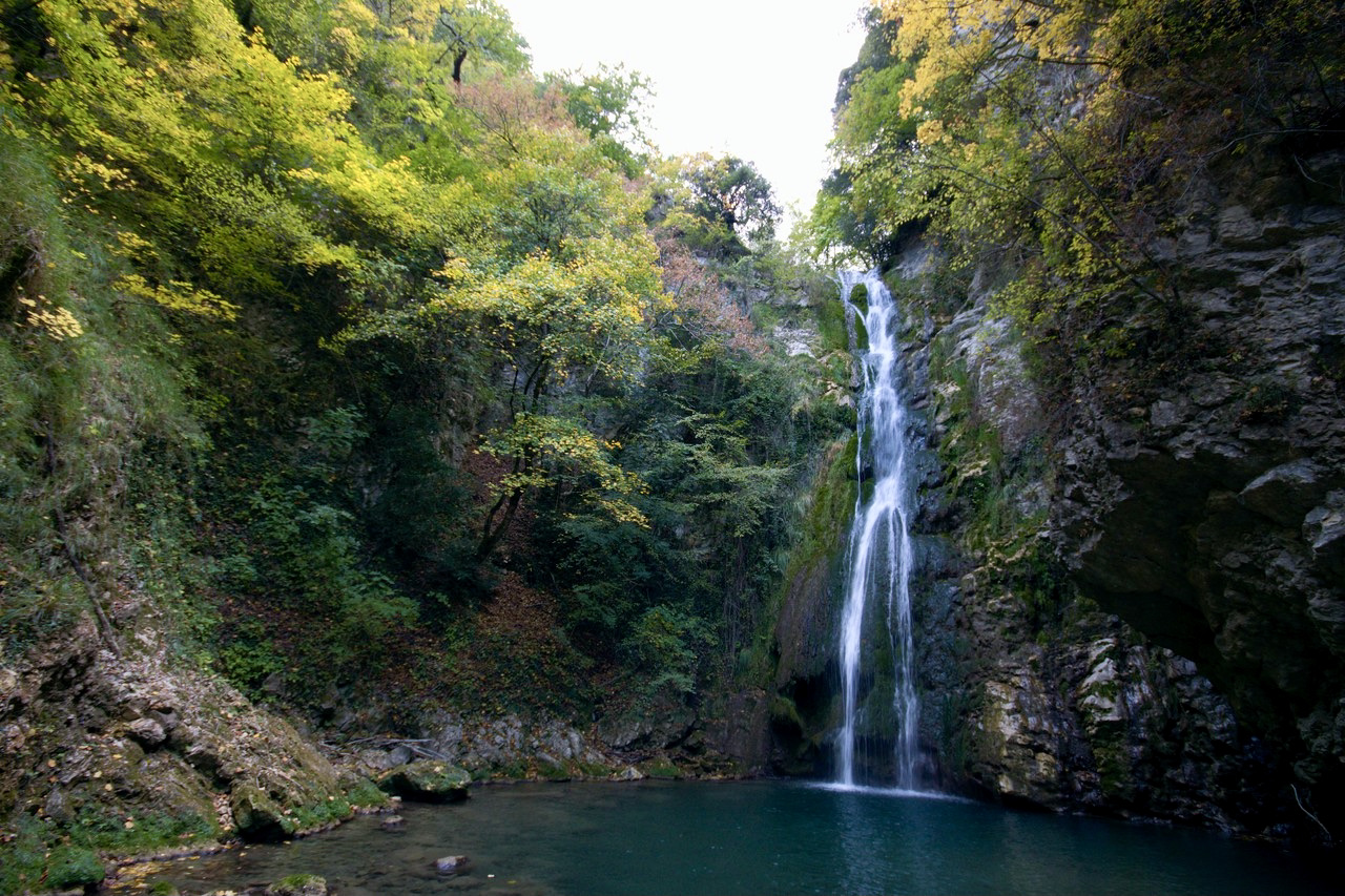
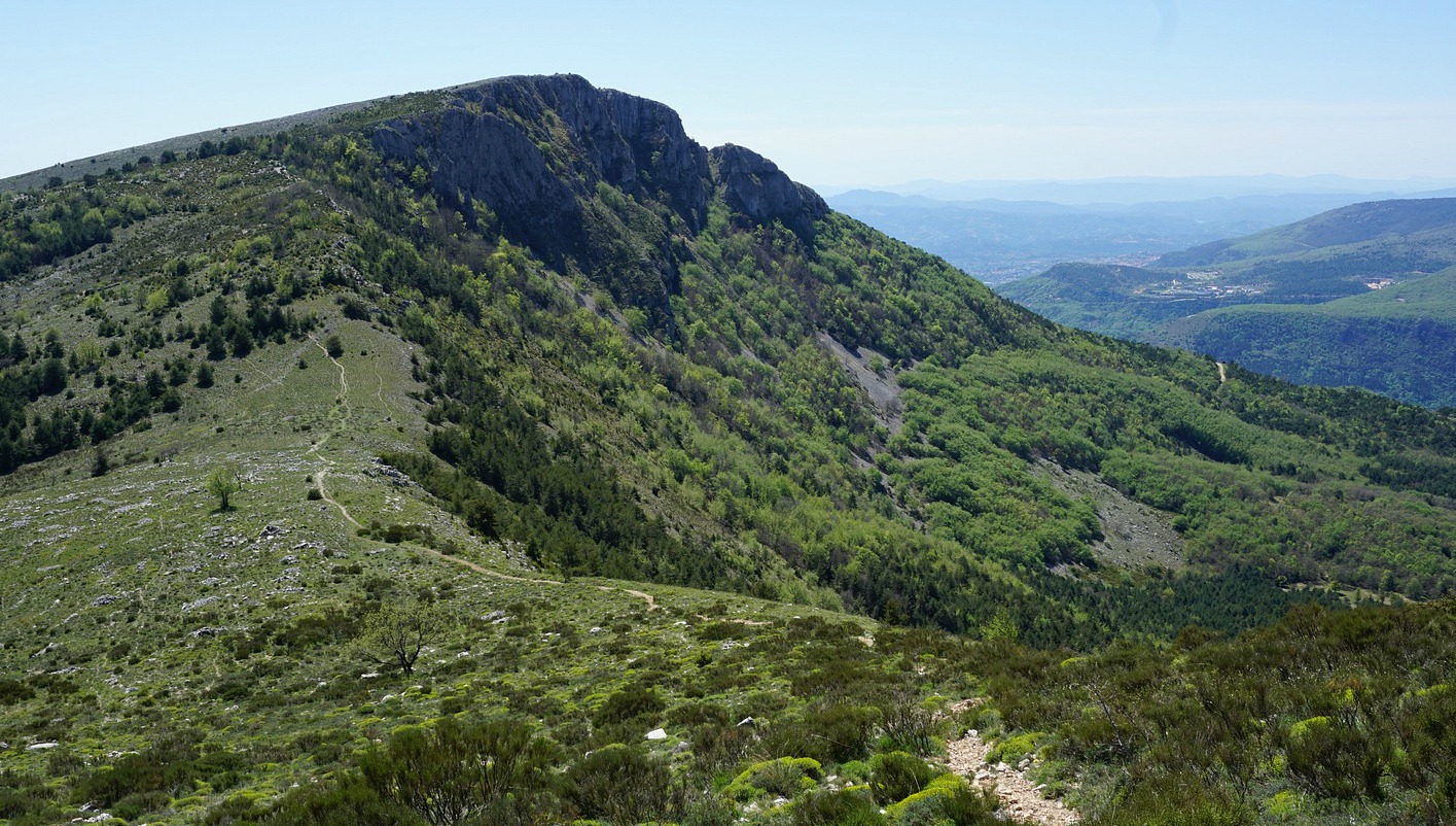
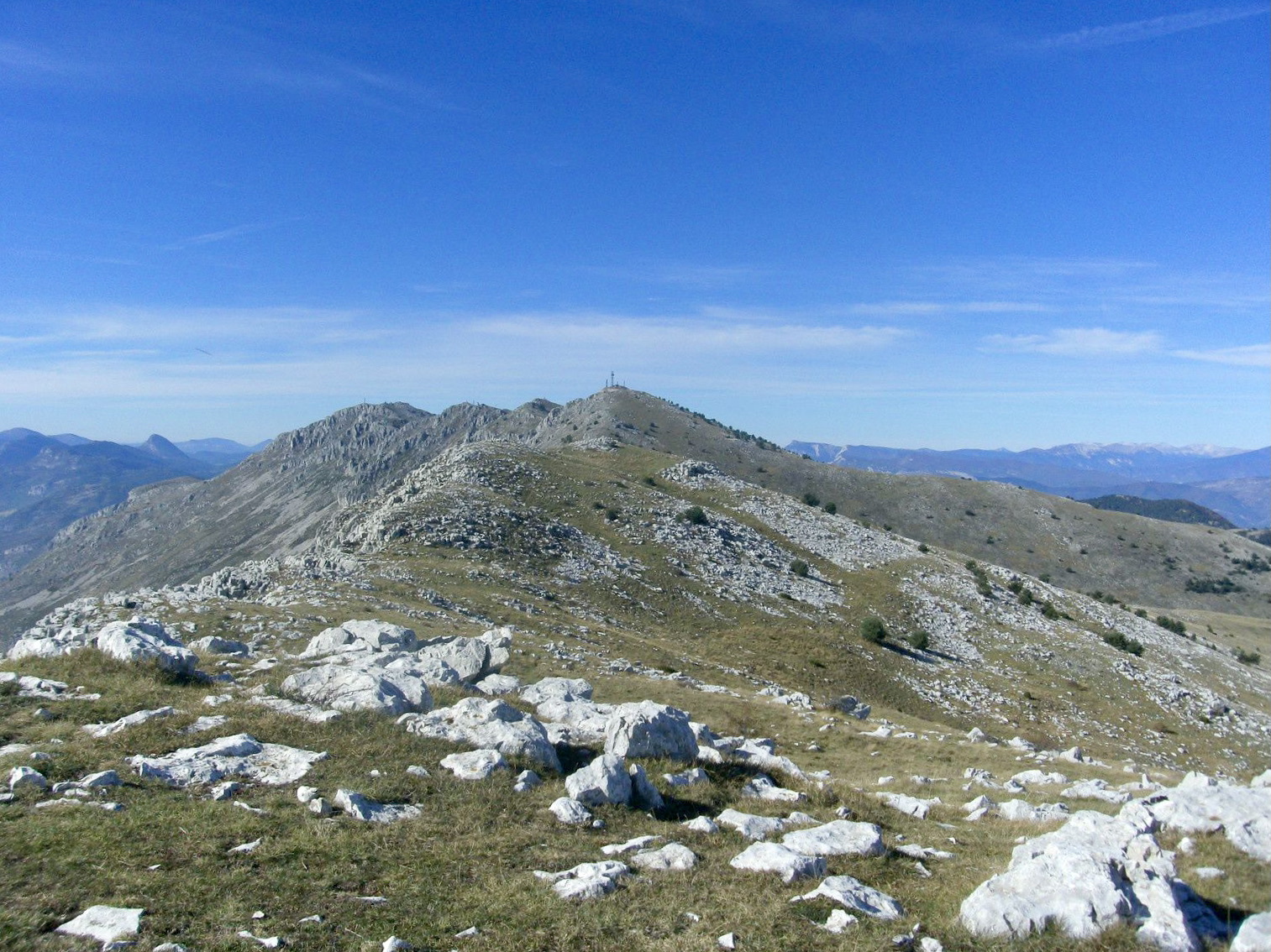
Starting from Gréolières les Neiges, this trail winds through the forest of Cheiron up to the Croix de Verse (1706 m). The summit then offers a magnificent panorama, stretching from the Mercantour to the Côte d'Azur.

Already more than 200,000 users!
Uphill
502m
Highest point
1765m
Downhill
502m
Lowest point
1376m
Route type
Loop
Download the map on your smartphone to save battery and rest assured to always keep access to the route, even without signal.
Includes IGN France and Swisstopo.
I indicate whether dogs are allowed or prohibited on this trail
From May to October
0 ratings
Also enjoy:

Already more than 200,000 users!