Uphill
817m
France > Provence-Alpes-Côte d'Azur > Alpes-Maritimes
Length
6km
Duration
4h30min
Elev gain
817m
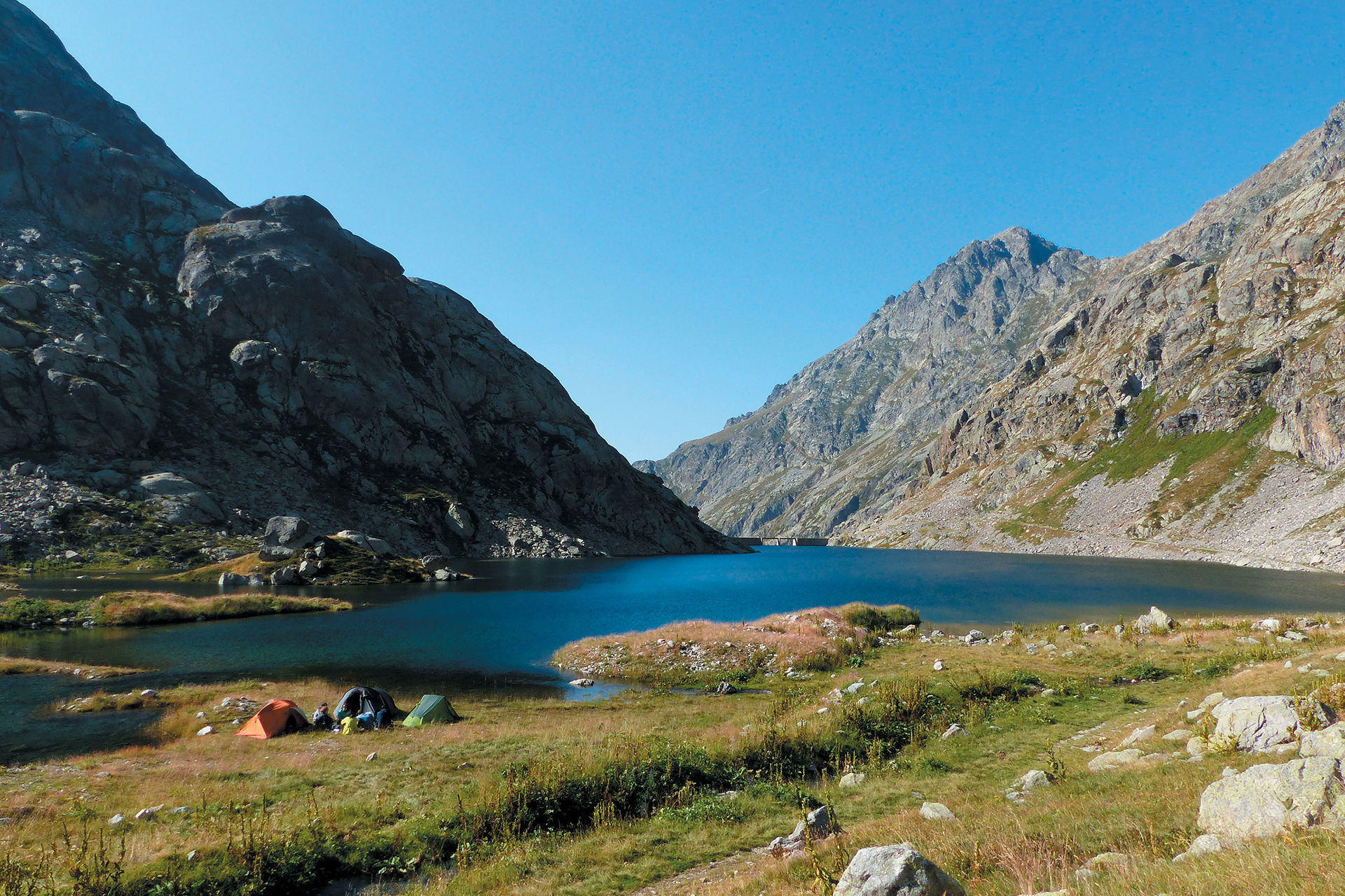
Here is the first leg of a 3-day trek in the Mercantour.
Departing from the Countet bridge in the Gardolasque valley, this path joins the Merveilles refuge via a portion of the Vallée des Merveilles, famous for its prehistoric engravings.
The arrival at the refuge, nestled on the shores of Lac Long Supérieur, is enchanting.

Already more than 200,000 users!
Uphill
817m
Highest point
2511m
Downhill
391m
Lowest point
1680m
Route type
One way
Download the map on your smartphone to save battery and rest assured to always keep access to the route, even without signal.
Includes IGN France and Swisstopo.
Shelter at the end of the stage.
I indicate whether dogs are allowed or prohibited on this trail
From June to September
2 ratings
Beaux paysages, pas mal d'animaux à voir ✨Attention cependant à la neige jusqu'aux genoux, rendant le parcours très difficile à suivre... Prévoyez vos raquettes.
Also enjoy:

Already more than 200,000 users!


