Uphill
237m
Length
24km
Duration
6h30min
Elev gain
237m
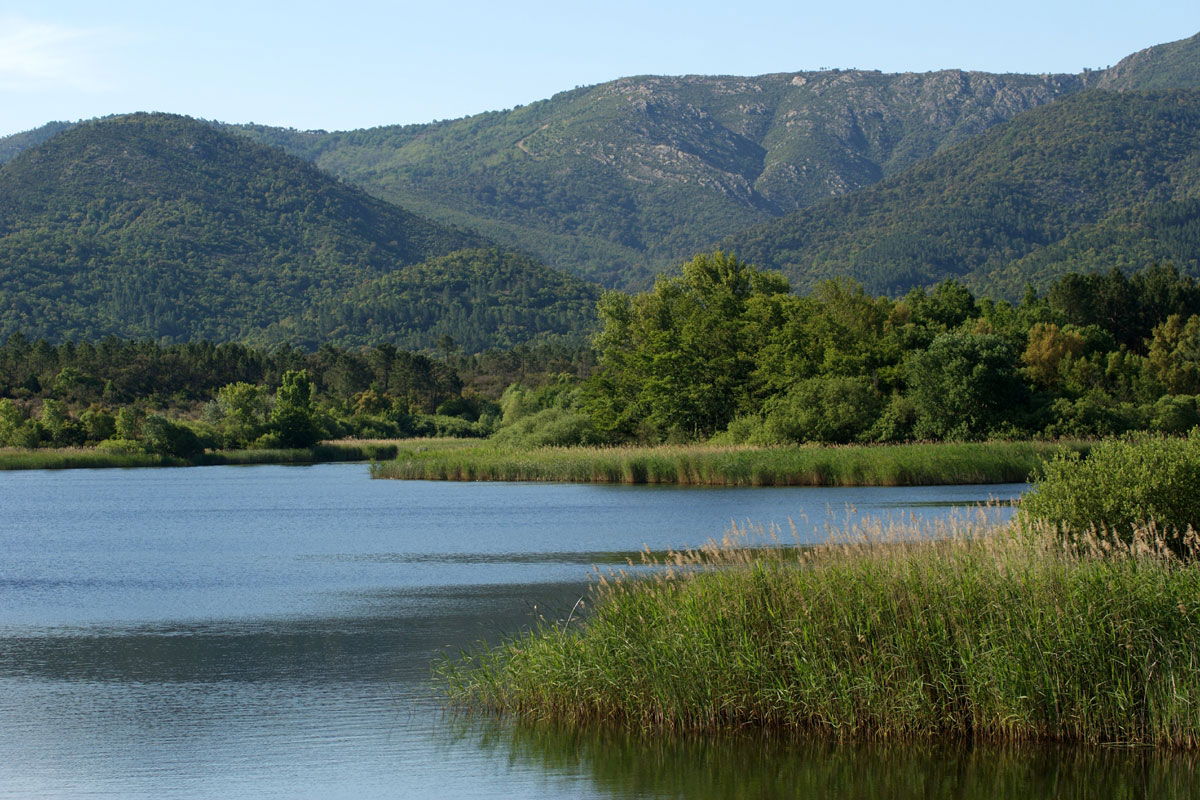
Nice loop in the plain of the Maures, all on a rather clear path. The route passes close to a small water reservoir then the Escarcets lake before returning to the starting point.

Already more than 200,000 users!
Uphill
237m
Highest point
136m
Downhill
237m
Lowest point
67m
Route type
Loop
Download the map on your smartphone to save battery and rest assured to always keep access to the route, even without signal.
Includes IGN France and Swisstopo.
I indicate whether dogs are allowed or prohibited on this trail
All year
0 ratings
Also enjoy:

Already more than 200,000 users!


