Uphill
221m
France > Provence-Alpes-Côte d'Azur > Alpes-Maritimes > Préalpes d'Azur Regional Natural Park
Length
4km
Duration
1h30min
Elev gain
221m
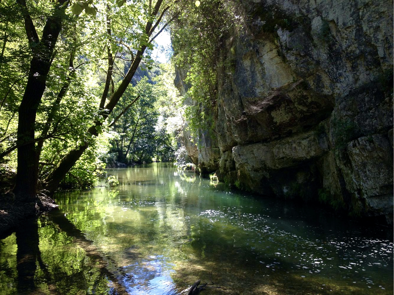
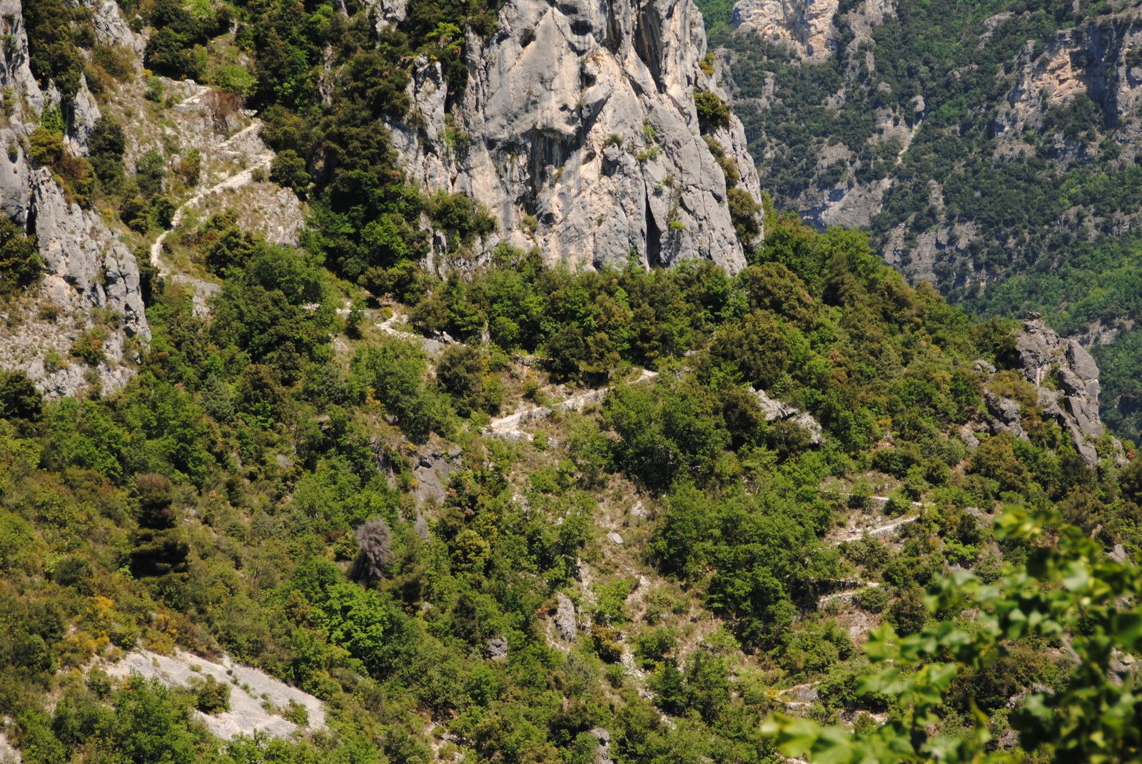
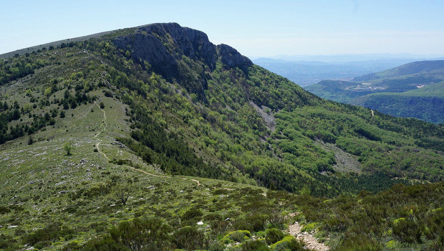
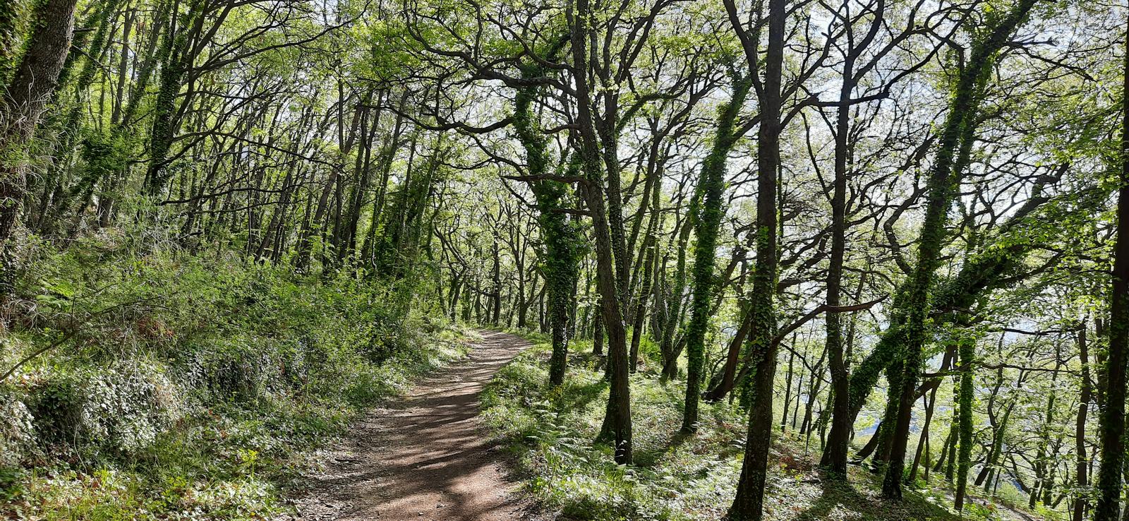
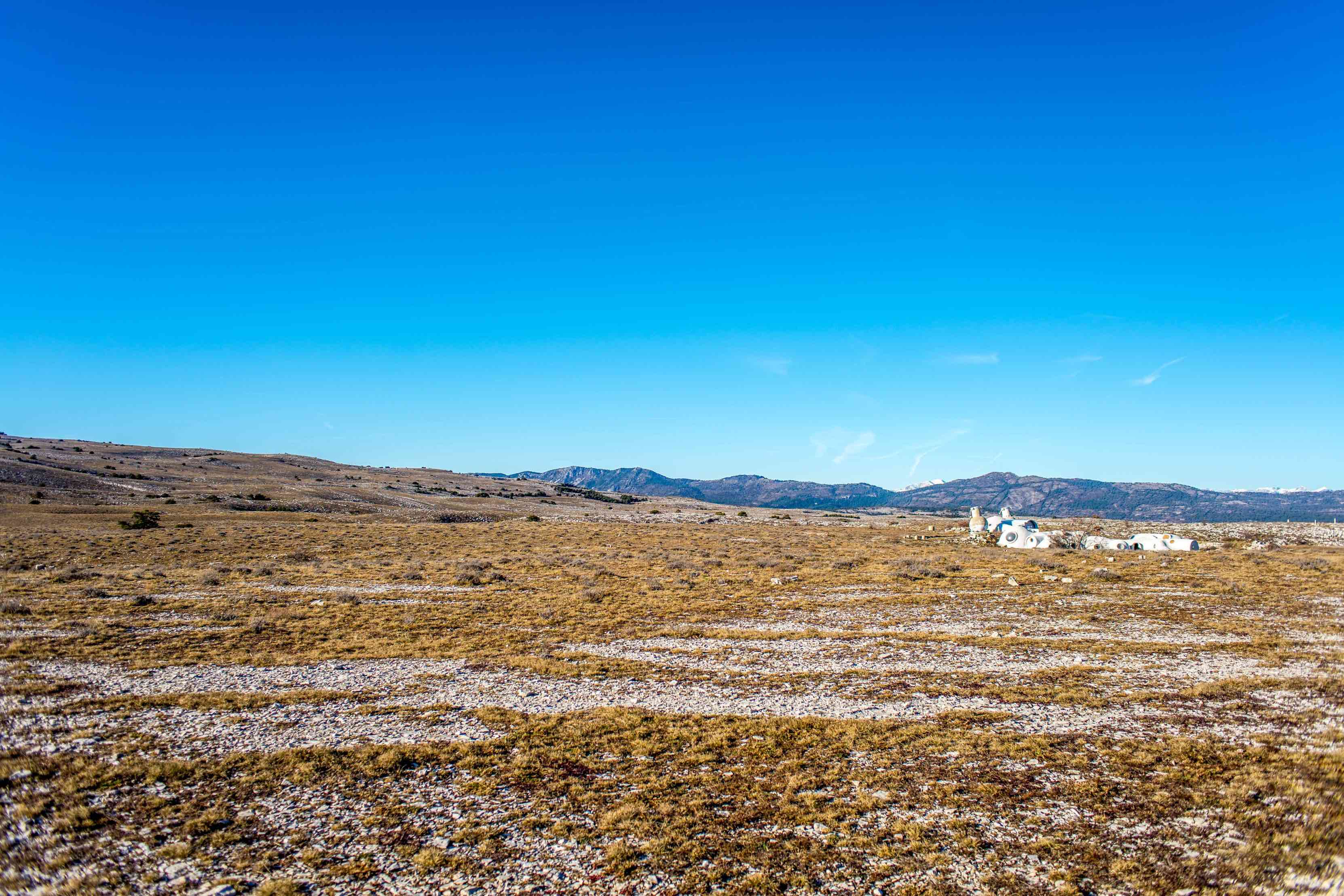
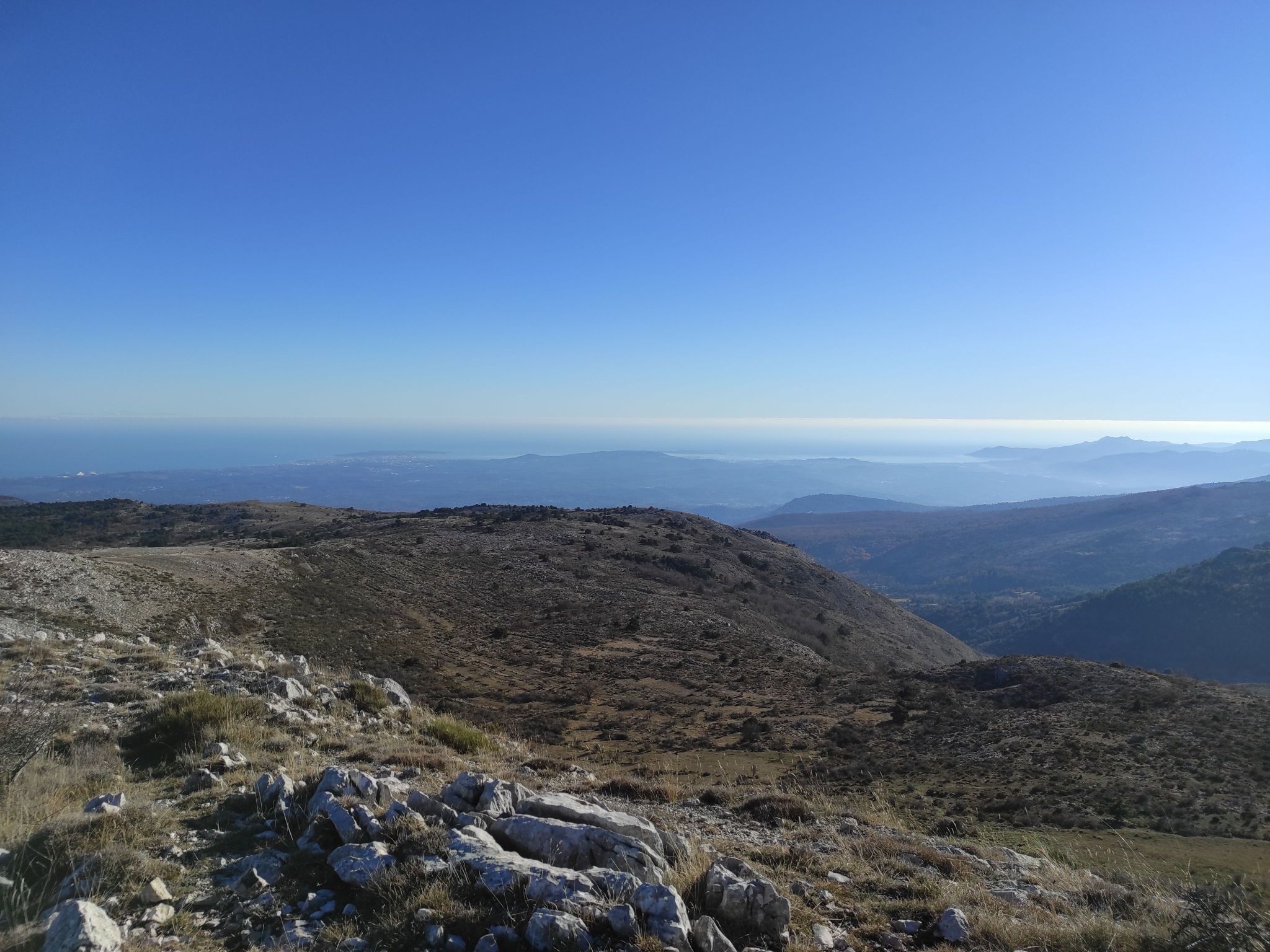
Two words sum up this hike well: short and steep. The path is rocky but undeniably worth the detour, the view of Gourdon and its surroundings being magnificent.

Already more than 200,000 users!
Uphill
221m
Highest point
1038m
Downhill
221m
Lowest point
808m
Route type
Loop
Download the map on your smartphone to save battery and rest assured to always keep access to the route, even without signal.
Includes IGN France and Swisstopo.
I indicate whether dogs are allowed or prohibited on this trail
All year
0 ratings
Also enjoy:

Already more than 200,000 users!