Uphill
195m
Length
7km
Duration
2h30min
Elev gain
195m
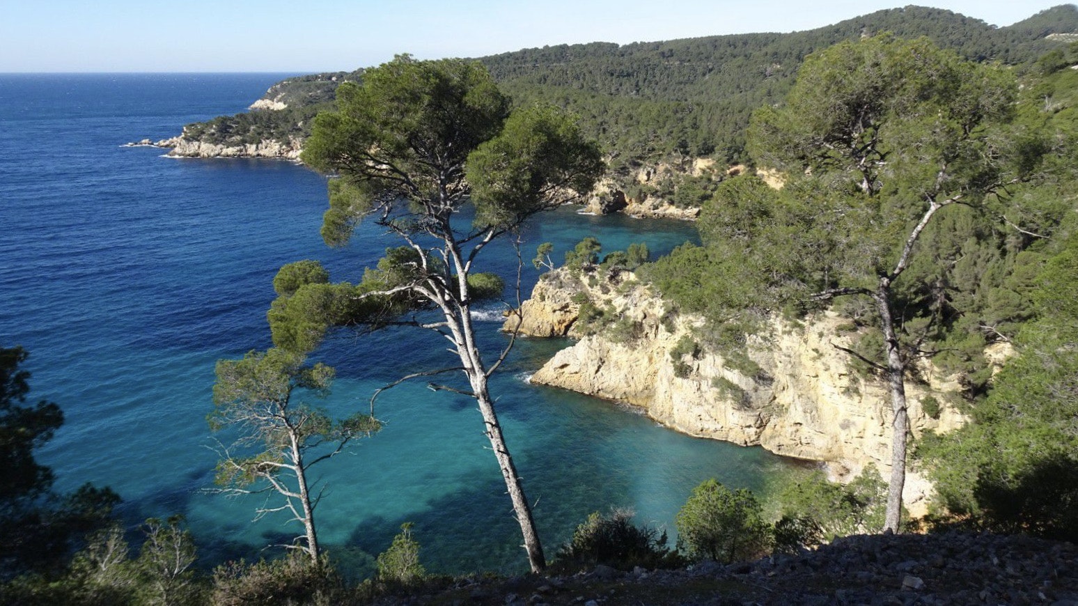
Stroll between the calanque du Port d'Alon and the tip of Engraviers in Bandol. The path overlooks the sea and winds between the pines, offering pretty panoramas all the way.

Already more than 200,000 users!
Uphill
195m
Highest point
78m
Downhill
195m
Lowest point
0m
Route type
Loop
Download the map on your smartphone to save battery and rest assured to always keep access to the route, even without signal.
Includes IGN France and Swisstopo.
I indicate whether dogs are allowed or prohibited on this trail
All year
5 ratings
Also enjoy:

Already more than 200,000 users!


