Uphill
694m
Length
11km
Duration
5h
Elev gain
694m
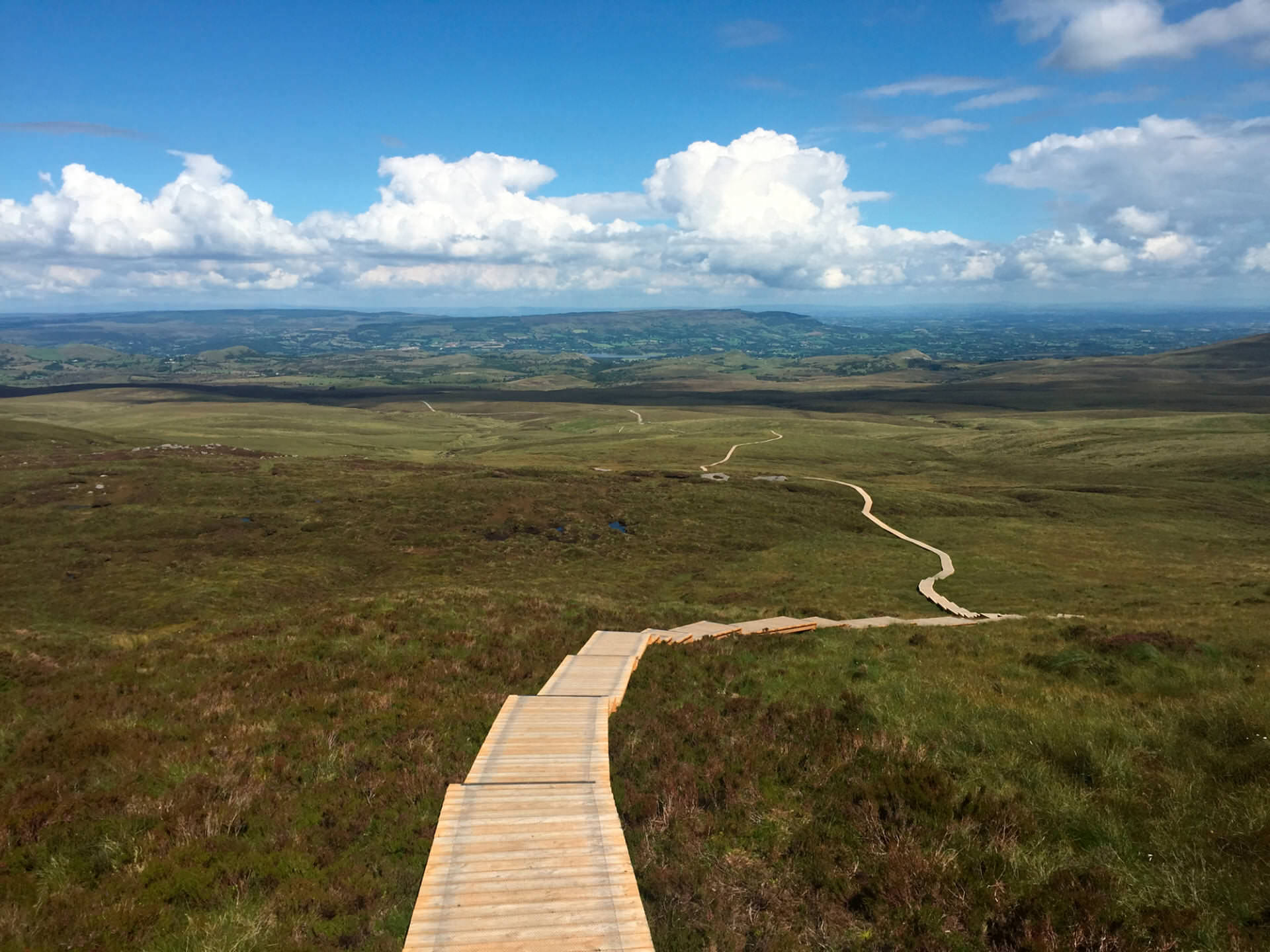
This is a steady climb in Northern Ireland leading to the summit of Cuilcagh Mountain through gravel paths, boardwalks over boglands, and finally, stairs. The there-and-back trail is hard as it is mostly going uphill with many stair sections. At the top hikers will be rewarded with breathtaking panoramic views of glaciers, lakes, and the surrounding boggy landscape. This geopark, established in 2001, offers a unique natural environment to explore.

Already more than 200,000 users!
Uphill
694m
Highest point
597m
Downhill
694m
Lowest point
177m
Route type
There and back
Download the map on your smartphone to save battery and rest assured to always keep access to the route, even without signal.
Includes IGN France and Swisstopo.
I indicate whether dogs are allowed or prohibited on this trail
All year
0 ratings
Also enjoy:

Already more than 200,000 users!


