Uphill
460m
Length
9km
Duration
3h30min
Elev gain
460m
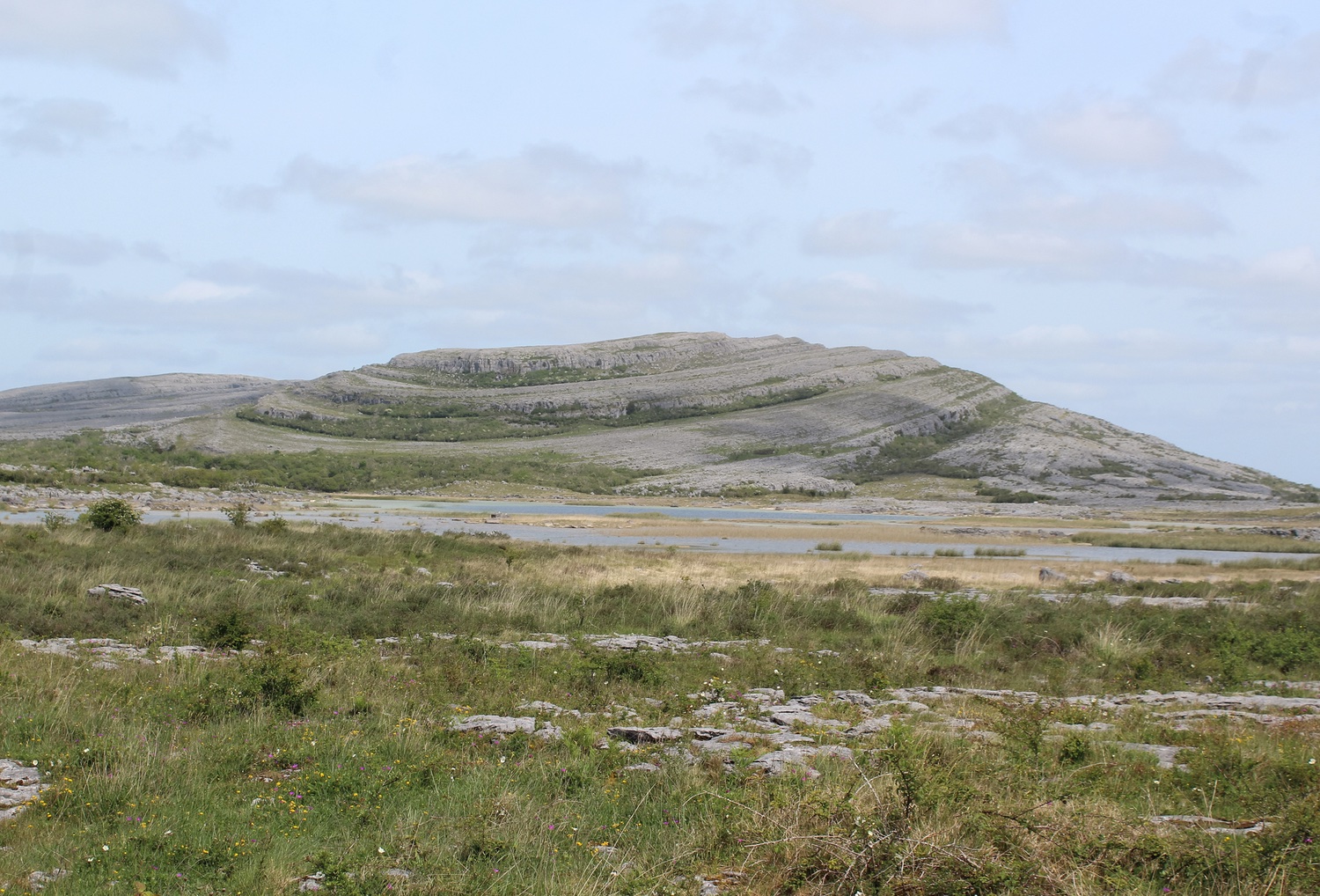
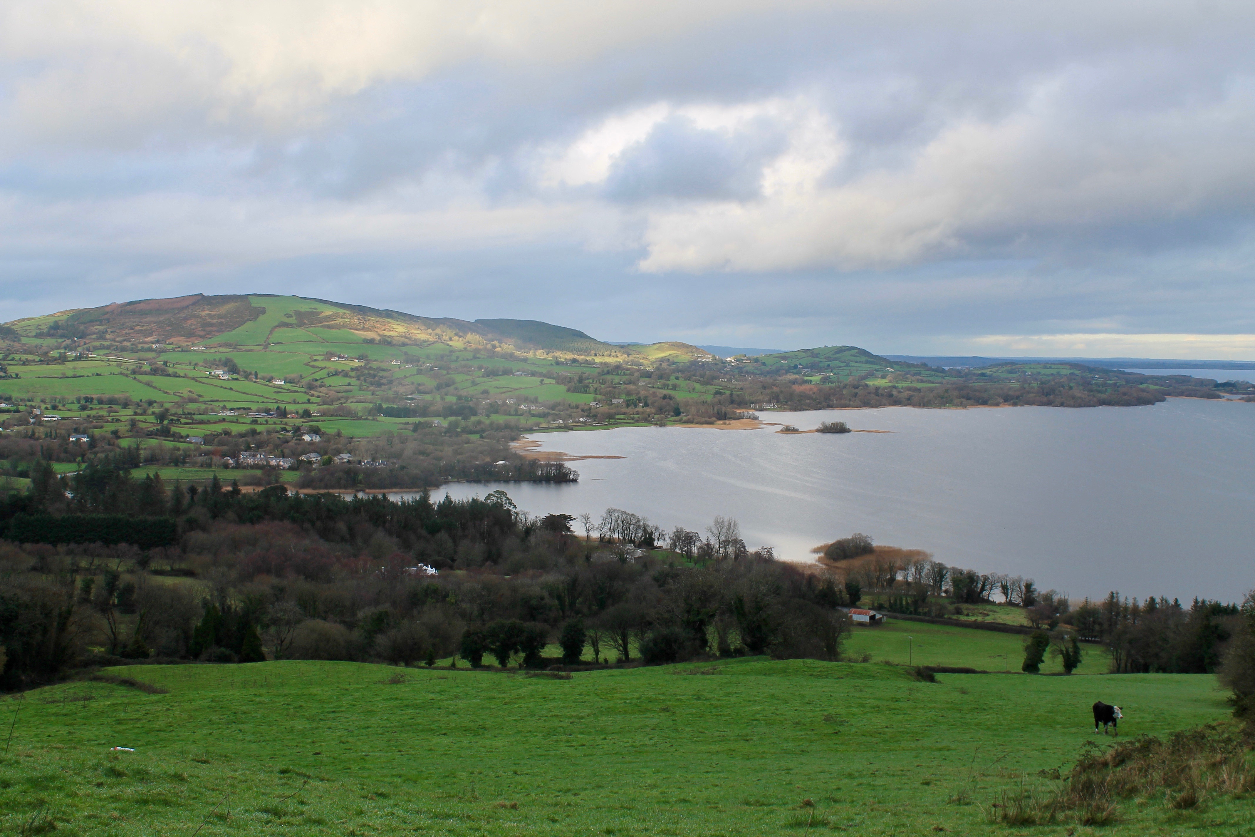
This is a great there-and-back hike in the Ballycuggaran Forest to the top of Moylussa in County Clare. The trail has a moderate incline with some steeper sections and follows boardwalks, which make it quite manageable and prevent trail erosion, as well as footpaths. The trail can get a little muddy and slippery in the forest at times. The views are lovely and quaint, opening on Lough Derg in the distance. In the spring the trail i vibrant with wildflowers and numerous birds.

Already more than 200,000 users!
Uphill
460m
Highest point
532m
Downhill
460m
Lowest point
93m
Route type
There and back
Download the map on your smartphone to save battery and rest assured to always keep access to the route, even without signal.
Includes IGN France and Swisstopo.
I indicate whether dogs are allowed or prohibited on this trail
All year
0 ratings
Also enjoy:

Already more than 200,000 users!