Uphill
200m
Length
8km
Duration
2h30min
Elev gain
200m
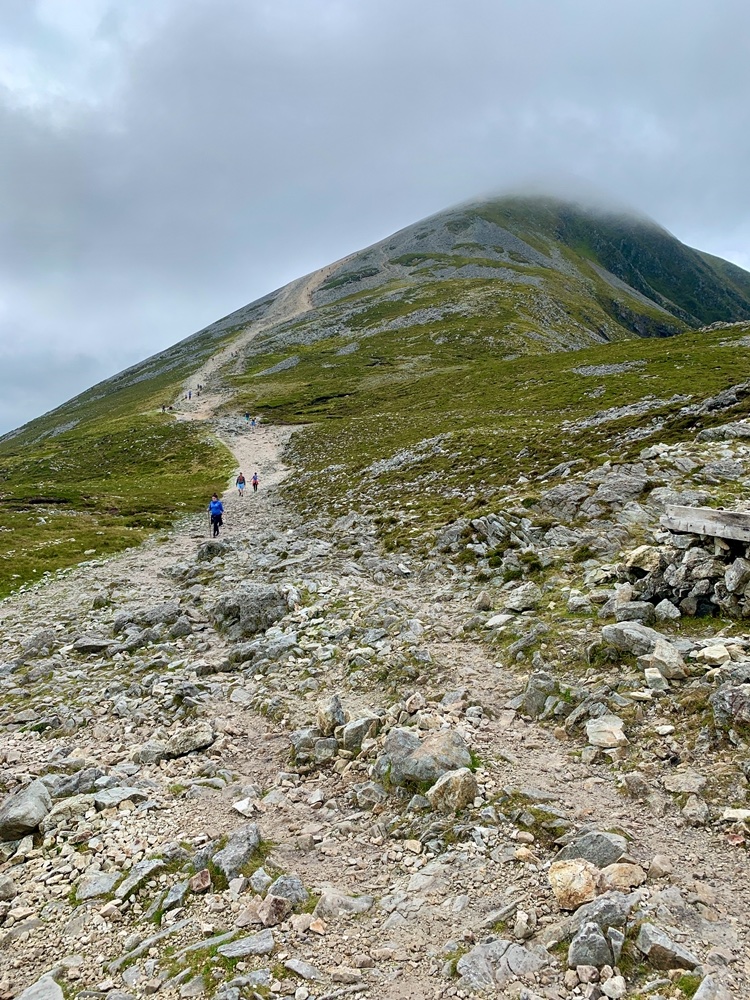
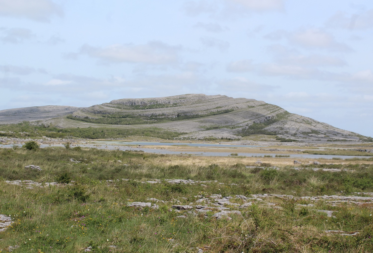
Discover this wonderful loop around Mullaghmore in the Burren National Park, not too far from the Cliffs of Moher. This trail follows the blue markers around the loop and is moderate with a rocky and grassy path, with some ups and downs and a steeper section to ascend Mullahmore. The strange limestone rock formations on the walk are quite the geological spectacle. In spring the blooming wildflowers also add to the beautiful scenery. The far reaching views on Burren National Park are simply lovely.

Already more than 200,000 users!
Uphill
200m
Highest point
176m
Downhill
200m
Lowest point
16m
Route type
There and back
Download the map on your smartphone to save battery and rest assured to always keep access to the route, even without signal.
Includes IGN France and Swisstopo.
I indicate whether dogs are allowed or prohibited on this trail
All year
0 ratings
Also enjoy:

Already more than 200,000 users!