Uphill
1608m
Length
19km
Duration
9h30min
Elev gain
1608m
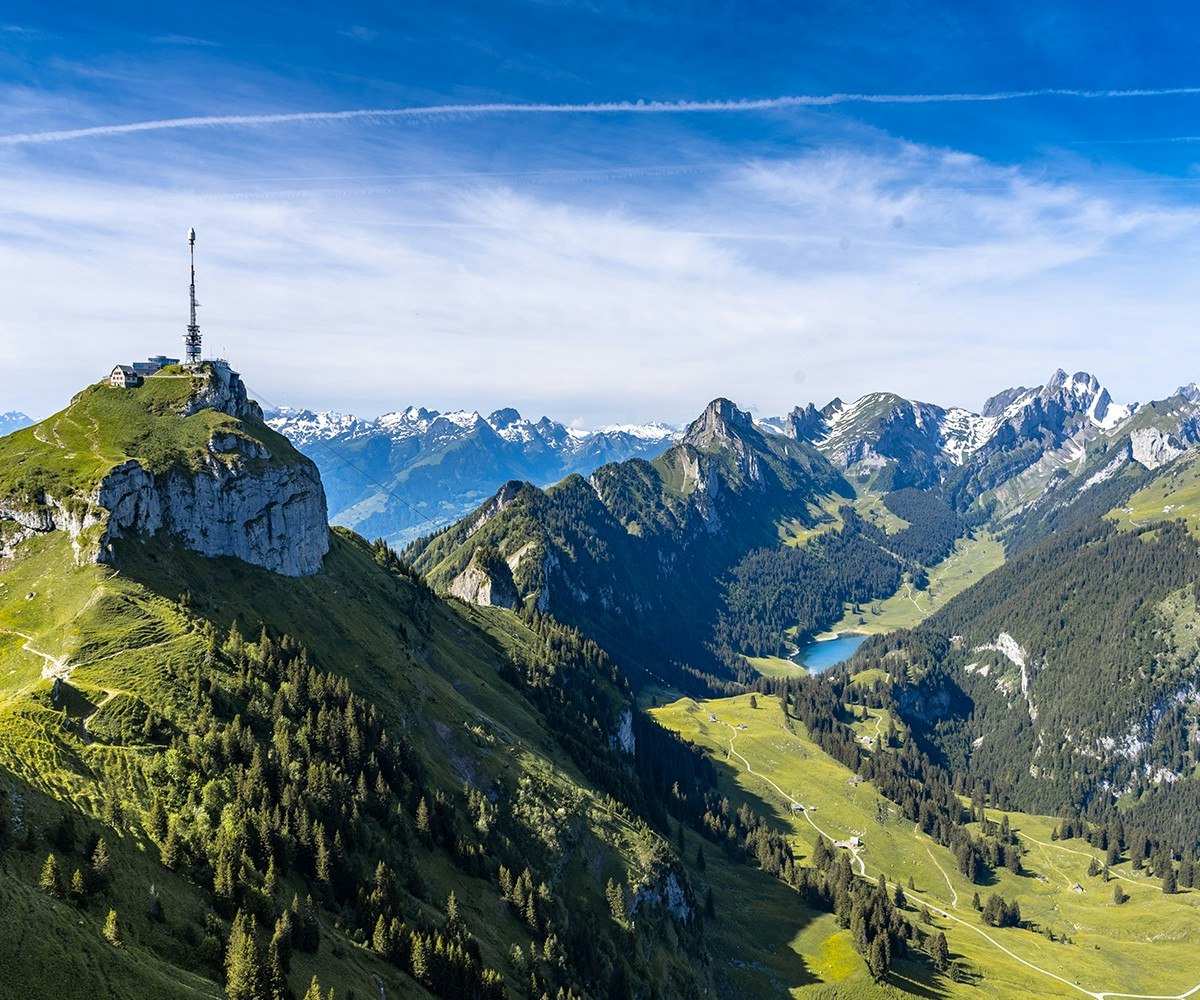
This is a demanding hike from Brülisau. This route passes through pretty mountain pastures, a forest, then joins Lake Sämtiser. It then continues to Lake Fälen, which is smaller but no less beautiful. After a short break, it's time to resume the ascent, and pass through Saaxerlücke and reach the peaks of Hochhus and finally Hohe Kasten. Here, the panoramic view is phenomenal. The return to the starting point is by cable car.

Already more than 200,000 users!
Uphill
1608m
Highest point
1822m
Downhill
768m
Lowest point
920m
Route type
One way
Download the map on your smartphone to save battery and rest assured to always keep access to the route, even without signal.
Includes IGN France and Swisstopo.
Parking at the start of the hike.
The return is via the Hoher Kasten cable car.
I indicate whether dogs are allowed or prohibited on this trail
From May to October
0 ratings
Also enjoy:

Already more than 200,000 users!


