Uphill
1379m
Length
16km
Duration
9h30min
Elev gain
1379m
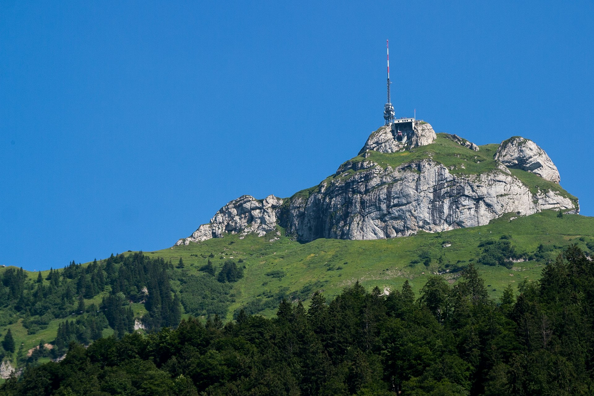
Departing from Brülisau, this hike sets off to discover the Hoher Kasten, a summit located at an altitude of 1,795 metres. Throughout the first part, the route climbs steeply and abruptly, passes by Lake Sämtiser and then reaches the summit. Here, the view is splendid. The second part only goes down to reach the starting point.

Already more than 200,000 users!
Uphill
1379m
Highest point
1768m
Downhill
1379m
Lowest point
916m
Route type
Loop
Download the map on your smartphone to save battery and rest assured to always keep access to the route, even without signal.
Includes IGN France and Swisstopo.
I indicate whether dogs are allowed or prohibited on this trail
From May to October
0 ratings
Also enjoy:

Already more than 200,000 users!


