Uphill
328m
Length
8km
Duration
3h
Elev gain
328m
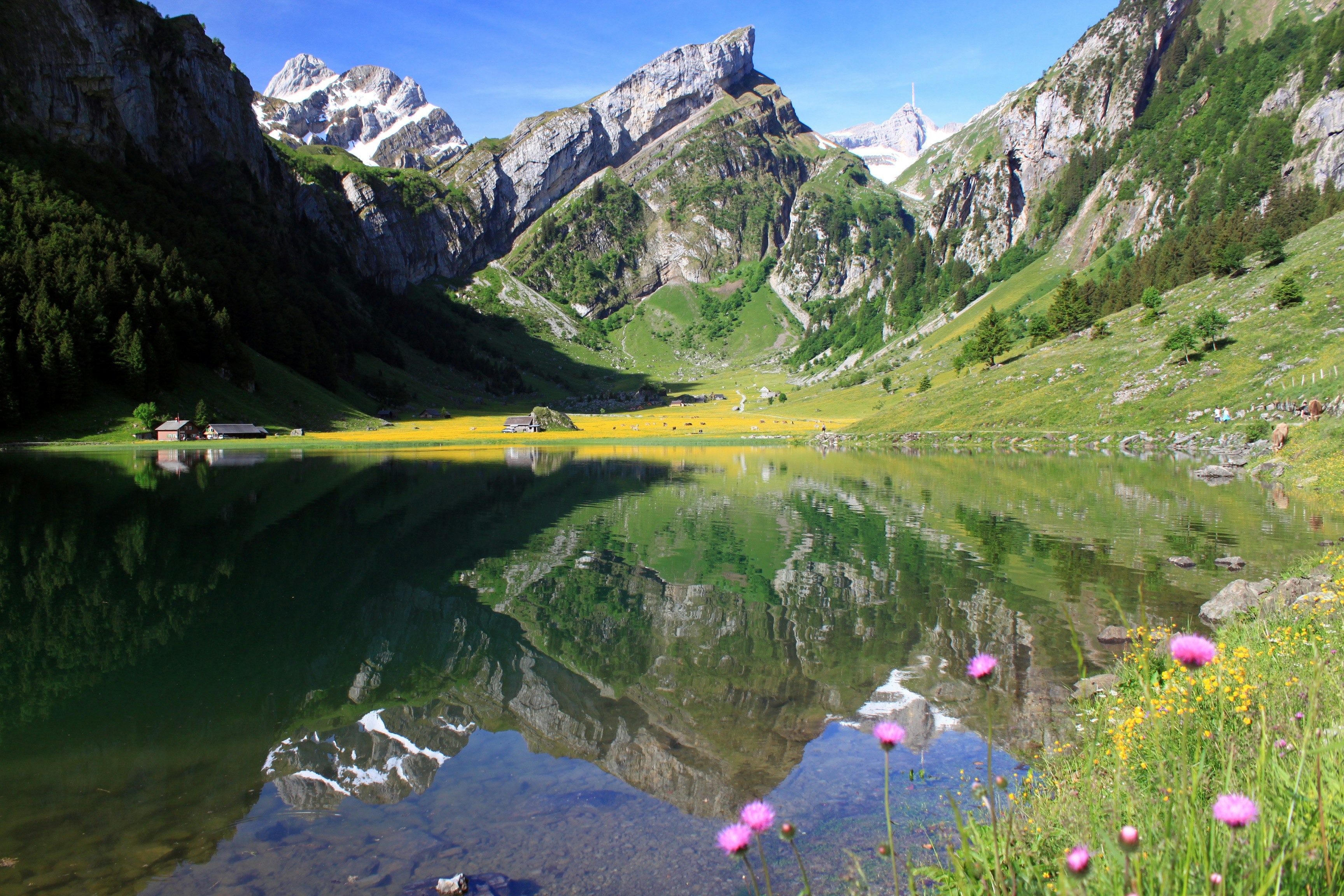
Departing from Wasserauen, this route follows the Schwendebach stream until it reaches the magnificent Seealp lake, located at an altitude of 1,143 metres. The cobbled path is relatively steep and abrupt but all the efforts made will be rewarded by this mountain lake which is just sublime.

Already more than 200,000 users!
Uphill
328m
Highest point
1181m
Downhill
328m
Lowest point
885m
Route type
There and back
Download the map on your smartphone to save battery and rest assured to always keep access to the route, even without signal.
Includes IGN France and Swisstopo.
I indicate whether dogs are allowed or prohibited on this trail
Can be difficult in Winter
0 ratings
Also enjoy:

Already more than 200,000 users!


