Uphill
936m
Length
9km
Duration
6h
Elev gain
936m
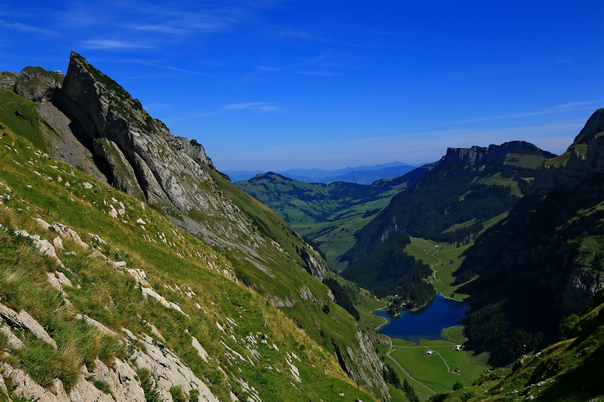
Here is a very beautiful hike that begins at Lake Seealp, at 1,143 meters above sea level. The route climbs up to the Schäfler, located almost 800 meters higher before returning towards the lake. The trail climbs steadily and offers great views of the surrounding mountains.

Already more than 200,000 users!
Uphill
936m
Highest point
1905m
Downhill
936m
Lowest point
1118m
Route type
Loop
Download the map on your smartphone to save battery and rest assured to always keep access to the route, even without signal.
Includes IGN France and Swisstopo.
I indicate whether dogs are allowed or prohibited on this trail
From May to October
1 rating
Also enjoy:

Already more than 200,000 users!


