Uphill
738m
Length
14km
Duration
7h
Elev gain
738m
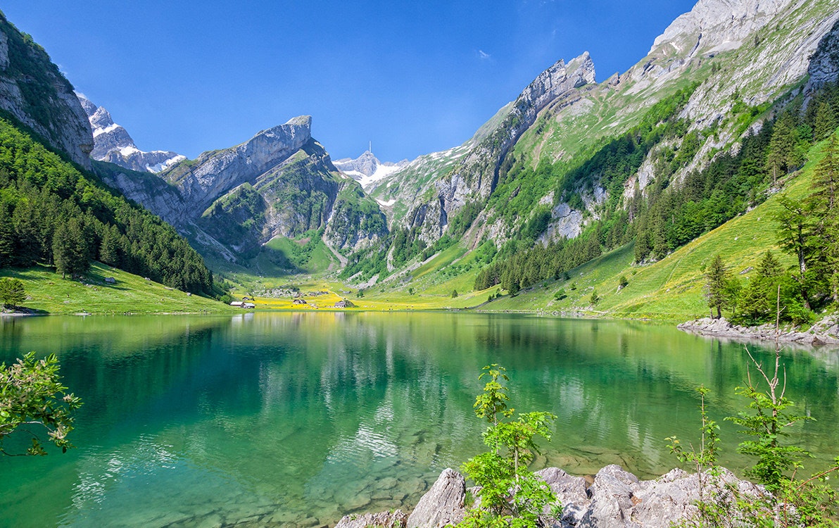
Very nice hike in the Appenzell Alps, between Ebenalp and Wasserauen. The route passes by several beautiful peaks as well as Lake Seealp, a very charming mountain lake. It is also punctuated by two mountain inns, ideal for taking a break and having something to eat.

Already more than 200,000 users!
Uphill
738m
Highest point
2150m
Downhill
1431m
Lowest point
891m
Route type
One way
Download the map on your smartphone to save battery and rest assured to always keep access to the route, even without signal.
Includes IGN France and Swisstopo.
Take the cable car from Wasserauen to Ebenalp to reach the starting point.
Possibility to park your car at the cable car, or to take the train to Wasserauen station.
I indicate whether dogs are allowed or prohibited on this trail
From May to September
0 ratings
Also enjoy:

Already more than 200,000 users!


