Uphill
1742m

Length
26km
Duration
12h30min
Elev gain
1742m
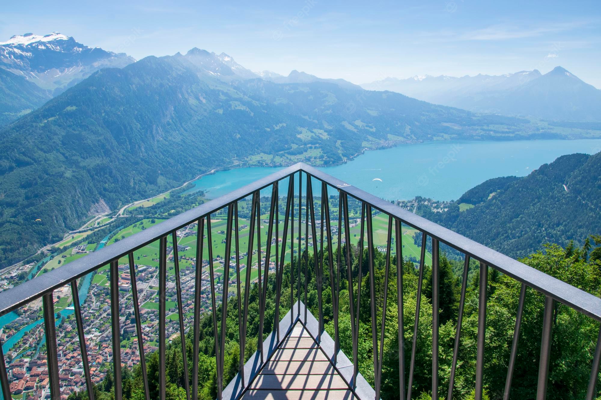
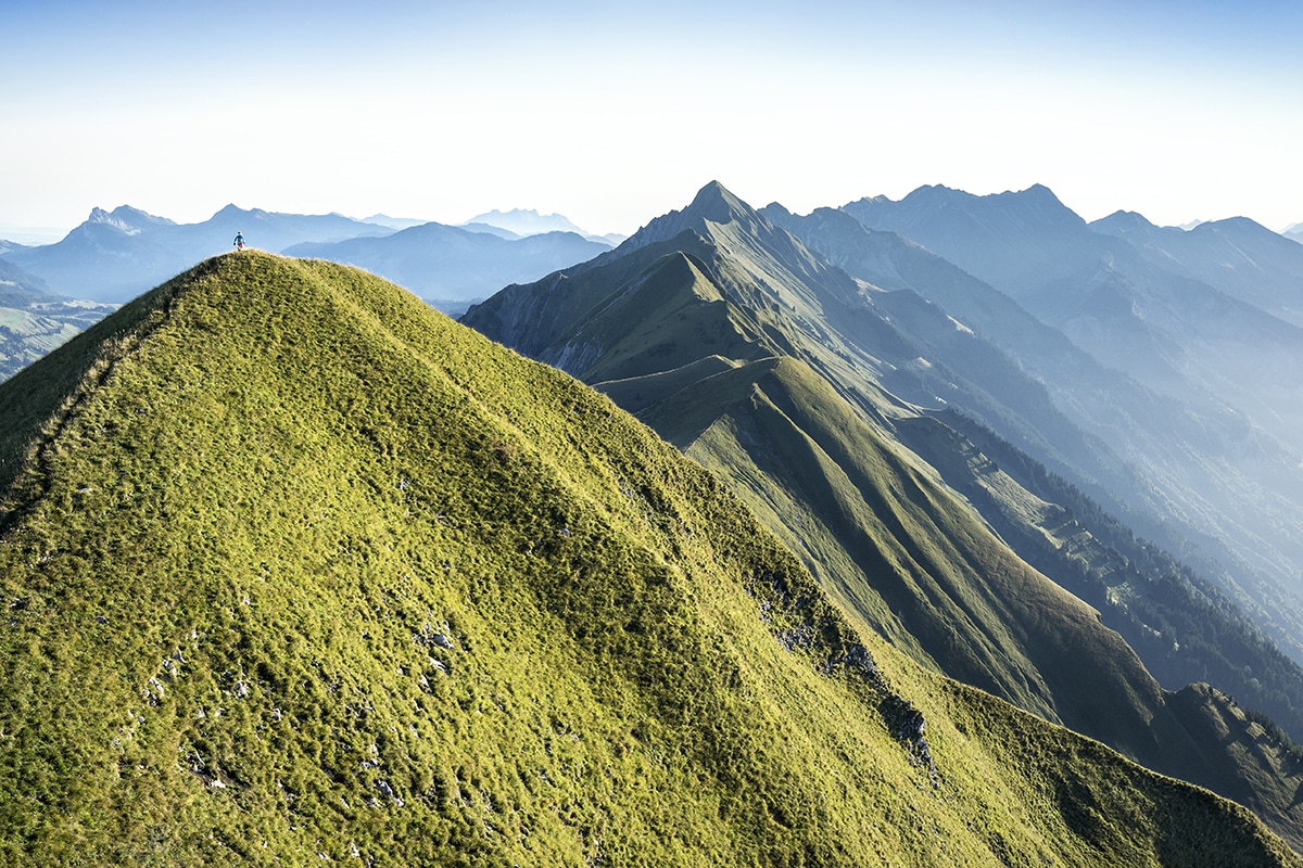
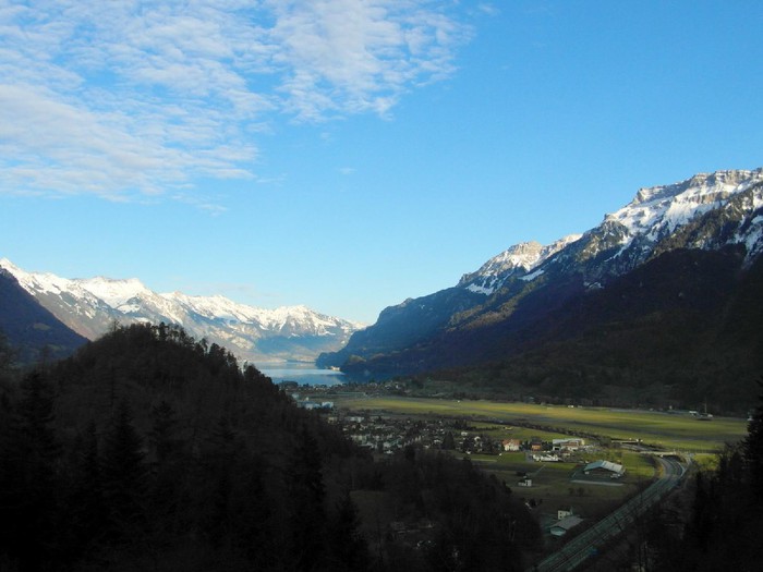
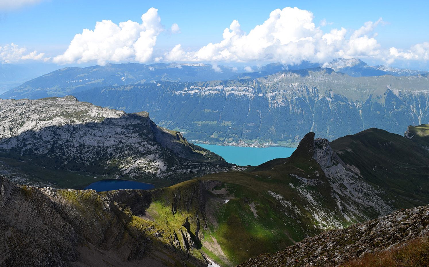
Ascent of the magnificent Augstmatthorn from Interlaken. This long and steep route climbs to the top of the Augstmatthorn, located 2,137 meters above sea level. The path starts under the trees then quickly becomes clear, and continues until it joins a magnificent crest overlooking Lake Brienz. One word to describe this hike: awesome.

Already more than 200,000 users!
Uphill
1742m
Highest point
2127m
Downhill
1742m
Lowest point
580m
Route type
There and back
Download the map on your smartphone to save battery and rest assured to always keep access to the route, even without signal.
Includes IGN France and Swisstopo.
I indicate whether dogs are allowed or prohibited on this trail
From May to September
1 rating
Also enjoy:

Already more than 200,000 users!