Uphill
811m
Length
8km
Duration
5h30min
Elev gain
811m
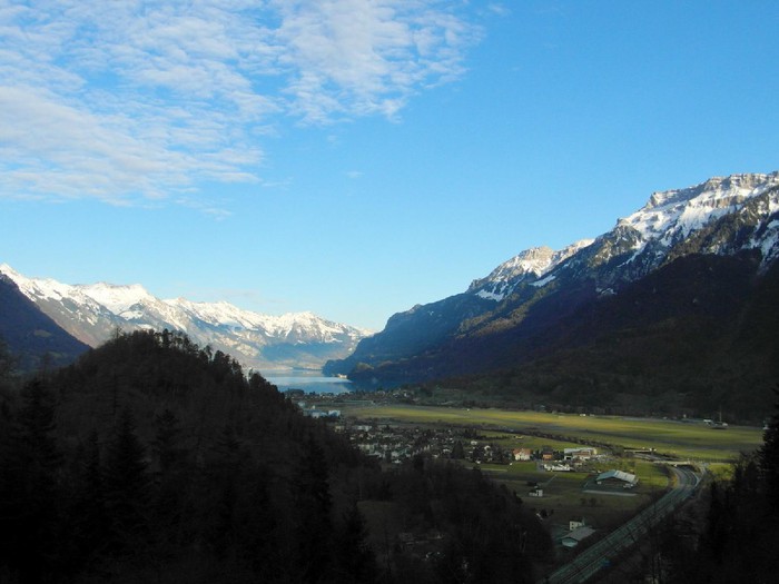
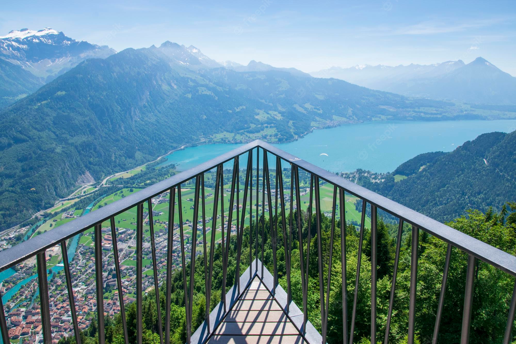
Departing from the Interlaken Harderbahn station, this path leads to Harder Kulm, after 800 meters of very steep elevation gain. At the top, the view of the Eiger and the Jungfrau is breathtaking.
This route owes its particularity to its location both close to the city and in the mountains.

Already more than 200,000 users!
Uphill
811m
Highest point
1347m
Downhill
811m
Lowest point
579m
Route type
Loop
Download the map on your smartphone to save battery and rest assured to always keep access to the route, even without signal.
Includes IGN France and Swisstopo.
Parking at the start of the hike.
Gare de Interlaken Harderbahn nearby.
I indicate whether dogs are allowed or prohibited on this trail
Can be difficult in Winter
1 rating
Also enjoy:

Already more than 200,000 users!