Uphill
2775m
Length
27km
Duration
14h30min
Elev gain
2775m
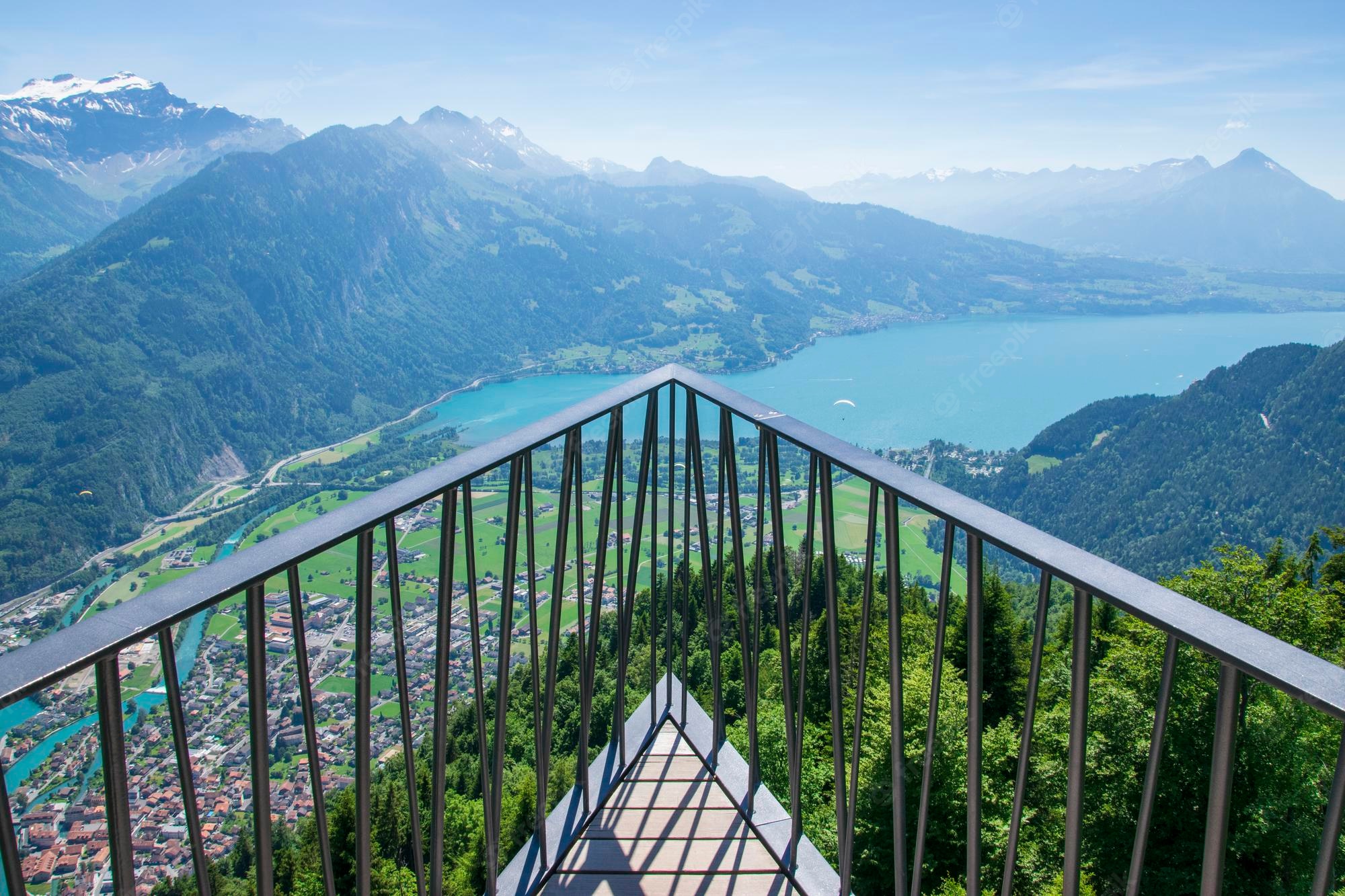
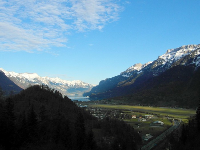
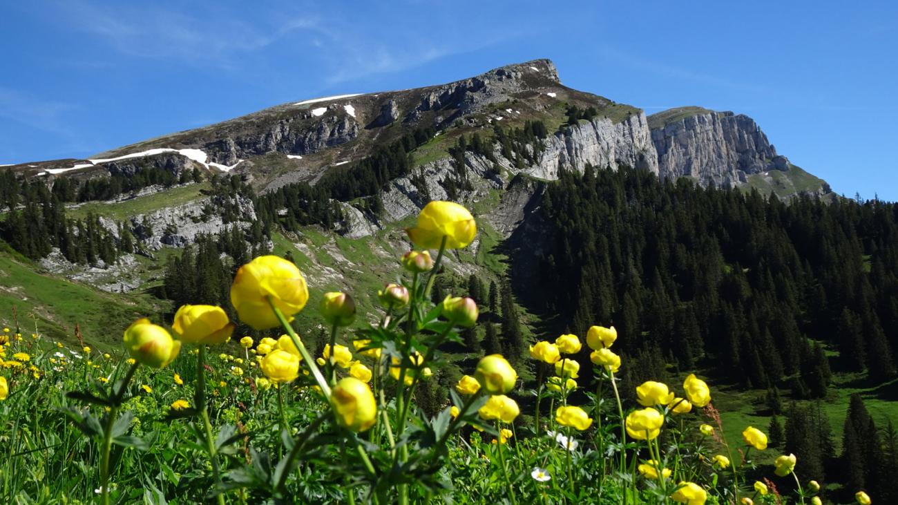
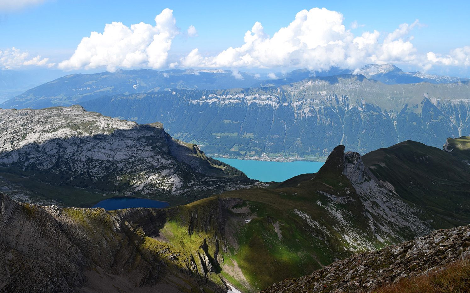
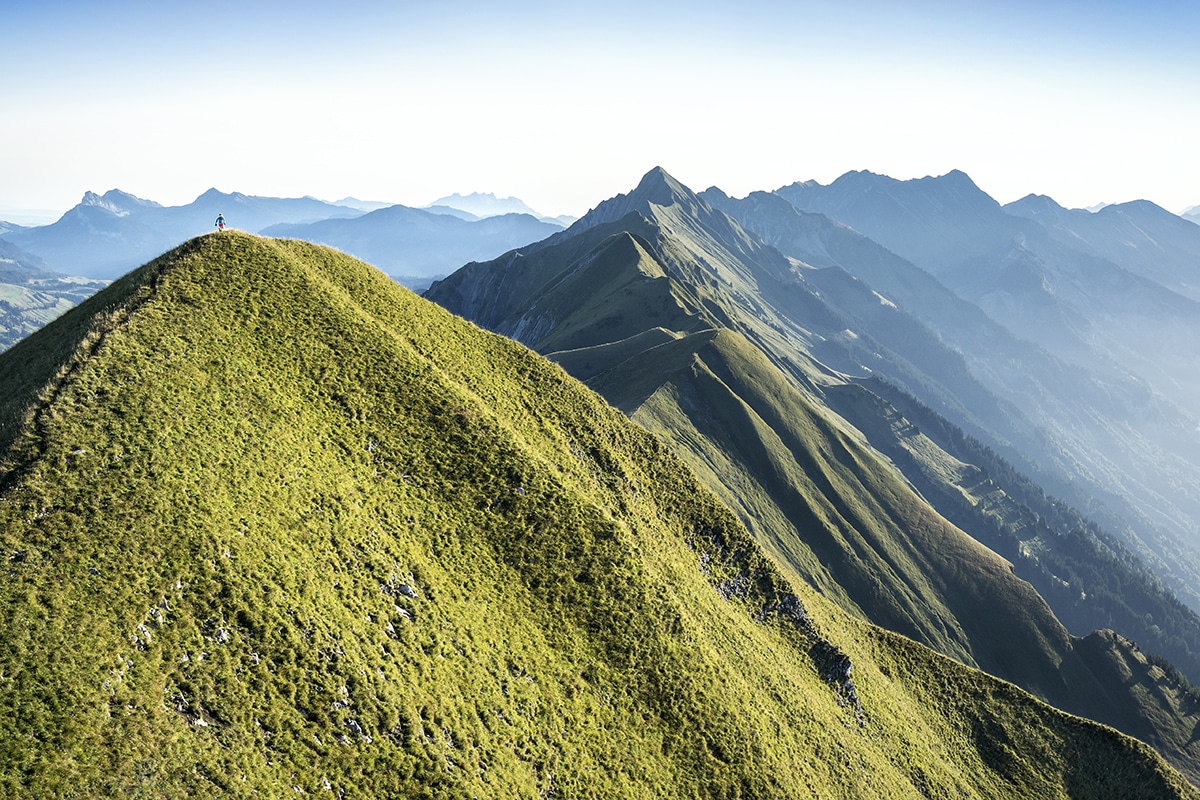
Welcome to one of Switzerland's most famous hikes, the Hardergrat. The route takes place mainly on a steep ridge which offers splendid views of the surrounding peaks. The trail passes through a dozen peaks until reaching the highest of this hike, the Brienzer Rothorn, located at 2,348 meters above sea level. At the top, the view of the highest peaks of the Jungfrau region is breathtaking: Eiger, Mönch, Jungfrau, Schreckhorn and Finsteraarhorn.
Note that this hike is physically demanding, and should not be attempted in rainy weather as slipping can be dangerous.

Already more than 200,000 users!
Uphill
2775m
Highest point
2293m
Downhill
1068m
Lowest point
580m
Route type
One way
Download the map on your smartphone to save battery and rest assured to always keep access to the route, even without signal.
Includes IGN France and Swisstopo.
Parking at the start of the hike.
Gare de Interlaken Harderbahn at the start (funicular).
Gare de Rothorn Kulm at the arrival (funicular).
I indicate whether dogs are allowed or prohibited on this trail
From May to September
1 rating
Also enjoy:

Already more than 200,000 users!